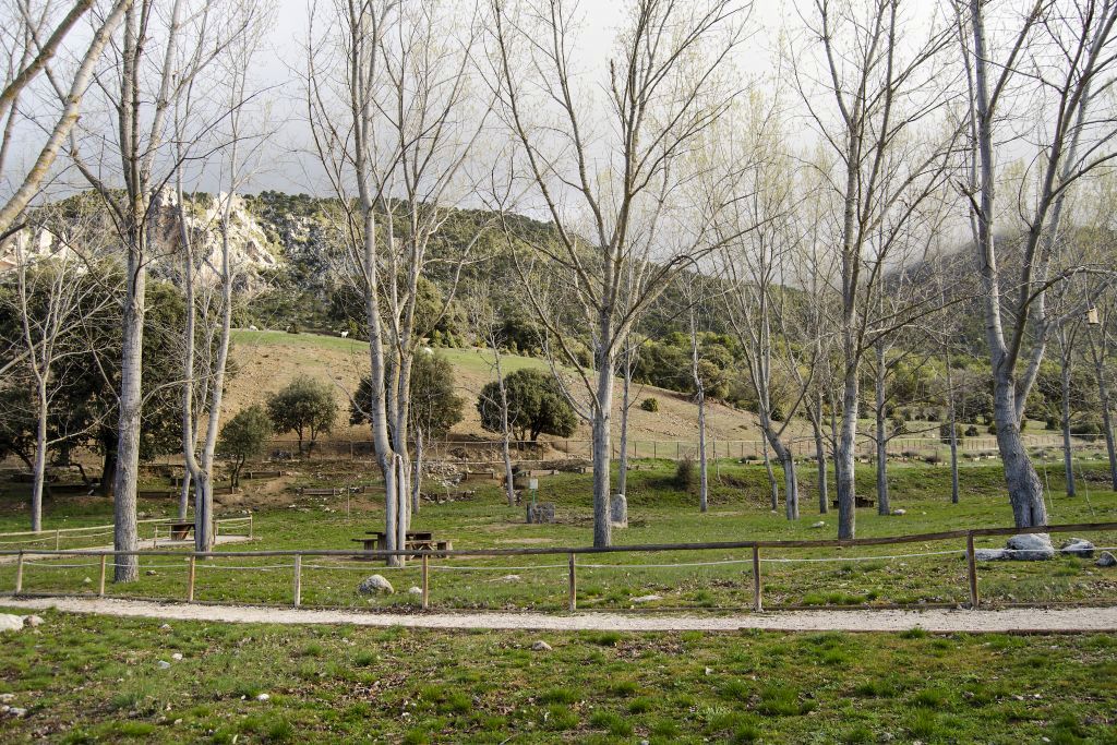
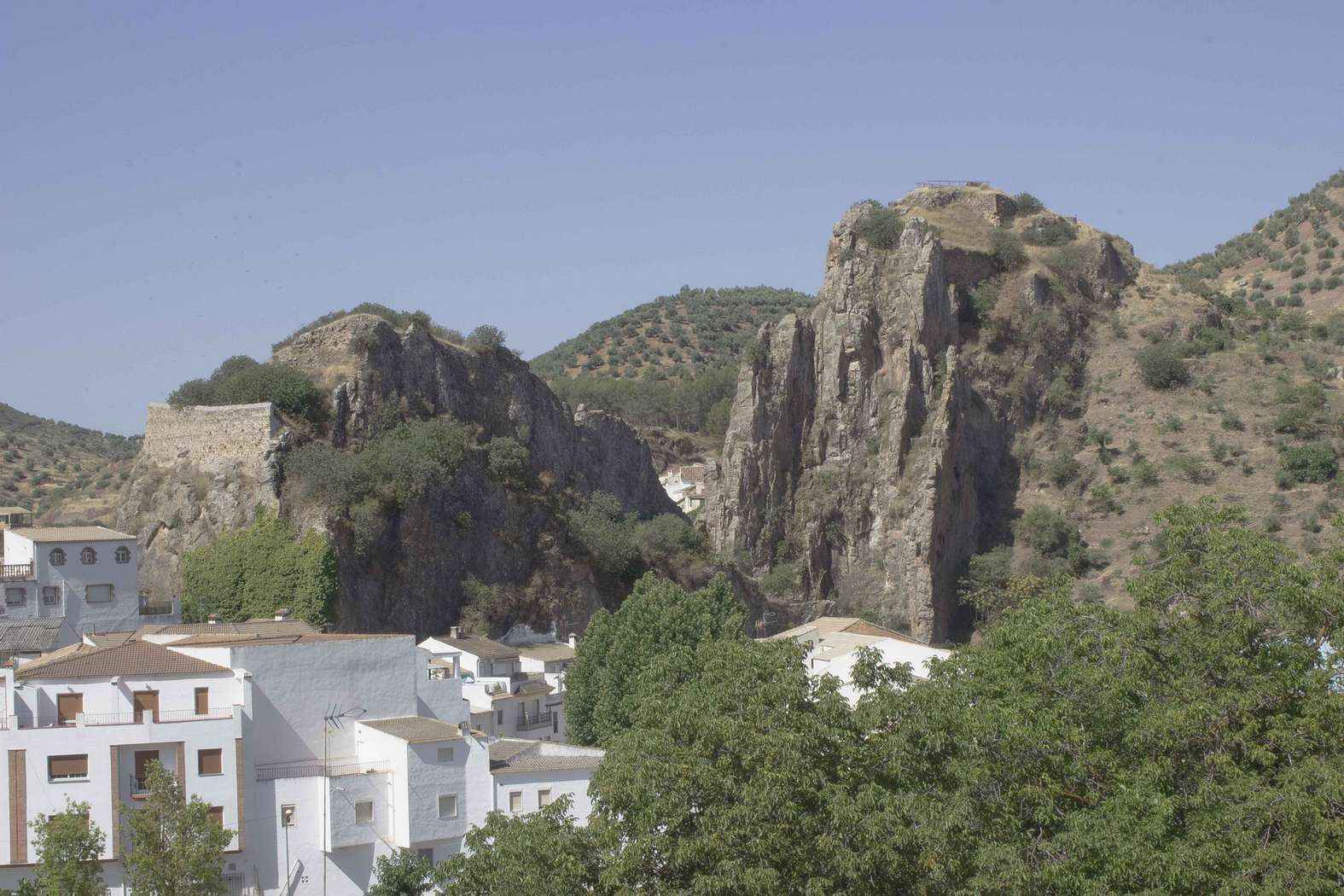
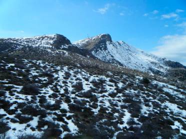
The Puente de Tierra is a geological formation situated in an area of heavily eroded terrain, characterised by numerous dry riverbeds, gullies and ravines that create a rugged landscape with difficult topography.
The usual access is via the road linking Cabra del Santo Cristo with Úbeda, taking a track towards the Pinares de Jódar. From this point, a route sets off that runs mainly along forest tracks, with sections of continuous ascents and descents in an arid environment. The route can be completed as a circular walk (approximately 17 km) or as a return walk (around 12 km), depending on the option chosen. In some places, particularly after the Puente de Tierra, the terrain is more unstable and requires caution, as the route passes through exposed areas with uneven ground.
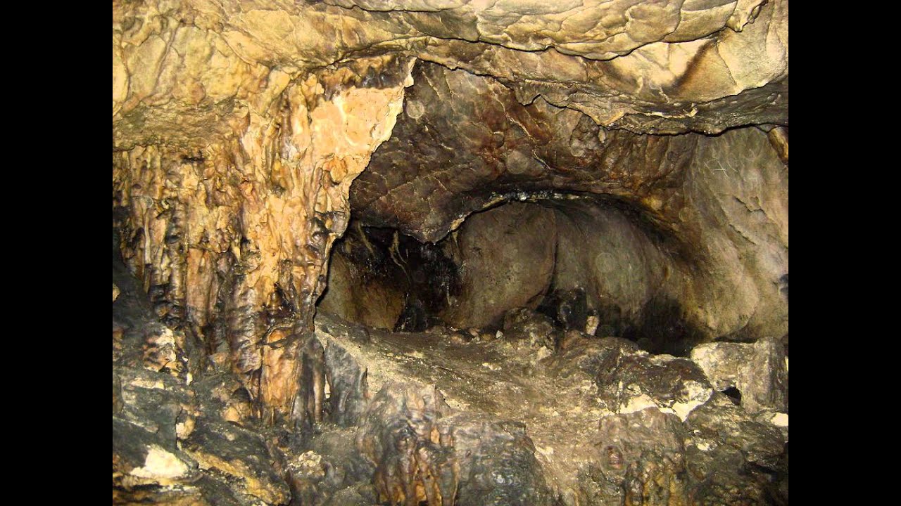
The main interest of the site is geological in nature. We are dealing with relatively young sedimentary materials (marl, gypsum, sandstone and silt) deposited in ancient marine basins linked to the Tethys Sea. The continuous action of water on these soft materials has created a badlands-type landscape, with sinkholes, gullies and deep incisions that interconnect. When erosion acts beneath slightly more resistant layers, it can leave sections of terrain suspended, giving rise to structures such as the Puente de Tierra.
Similar formations can also be seen in the surrounding area, such as small sinkholes and chasms of considerable depth, which means visitors must exercise extreme caution. Vegetation is sparse and adapted to poor, saline soils, with scrub, grasses and replanted pine forests predominating.
From a palaeontological perspective, the terrain consists of Cretaceous marl, meaning that marine fossils, such as ammonites or belemnites, can be found visible on the surface.
The Puente de Tierra is, in short, a unique site for understanding the processes of erosion and the geological evolution of this eastern part of the Sierra Mágina.