


Sendero Navazalto
The Navazalto peak, located in the Sierra de las Villas, is an excellent viewpoint of the towns and landscapes of the regions of La Loma, Cazorla, Condado, and even the region of Sierra Mágina.
TYPE OF TRAIL
Lane
Difficulty
Half
START POINT
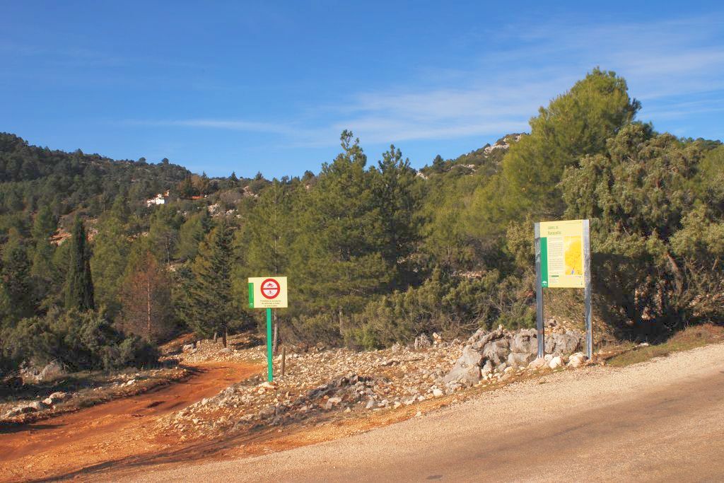
We start our way on the Mogón road shortly after passing the forest house of La Fresnedilla
ARRIVAL POINT
From there, this path will take us through a landscape dominated in the first instance by irrigated crops and which ends at Alto del Navazo (1,356 meters). We will also enjoy the presence of a beautiful karst terrain and a sea of conifers, while the griffon vultures fly over our heads.
TOTAL DISTANCE (IN KILOMETERS)
2,4
ESTIMATED RUN TIME
50 minutes
Type of firm
Linear and circular
DIFFICULTY. ASSESSMENT ACCORDING TO METHOD MEASURE
0
MEDIO.
Severity of the natural environment
0
Itinerary
Orientation in the itinerary
0
Displacement
Difficulty moving
0
EFFORT.
Amount of effort required
SIGNALING
Sí
MUNICIPAL TERMS BY WHICH IT RUNS
Villacarrillo La Loma y Las VillasNATURAL ENVIRONMENT
Pine groves and open coniferous formations. Mountain grasslands. Ravines and karst formations. Roquedos.
OTHER INFORMATION OF INTEREST (ARCHITECTURAL OR HISTORICAL-CULTURAL, GEOLOGICAL-ECOLOGICAL)
There is no public parking on the trail.
RECOMMENDATIONS
Bring drinking water and appropriate clothing and footwear. At the top there is a 100 m precipice. Tall. Make sure the water is drinkable.
DESCRIPTION
From the town of Chilluévar, we will take the road that goes to the Aguascebas reservoir, past the Fresnadilla forest house, on the left, there is the trail's start panel.
Follow us #JaénParaísoInterior


