


Ruta Natural del Puerto de Navatrillo
It is a circular route that runs along rural roads and trails in the municipality.

Difficulty
Half
START POINT
Carretera de Valdepeñas.
TOTAL DISTANCE (IN KILOMETERS)
7,7 km
ESTIMATED RUN TIME
Three hours
DIFFICULTY. ASSESSMENT ACCORDING TO METHOD MEASURE
0
MEDIO.
Severity of the natural environment
0
Itinerary
Orientation in the itinerary
0
Displacement
Difficulty moving
0
EFFORT.
Amount of effort required
SIGNALING
Sí
MUNICIPAL TERMS BY WHICH IT RUNS
Los Villares Sierra SurRECOMMENDATIONS
- Wear comfortable shoes and clothing appropriate to the time of year.
- Stock up on water.
- Always be accompanied by another or other hikers.
- Calculate your tour to complete it before sunset.
- In the event of an accident, call the emergency number 112.
DESCRIPTION
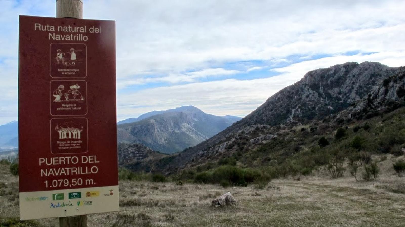
It is a circular route that runs along rural roads and trails in the municipality. Its starting point is on the Valdepeñas road, in the access lane to La Carrasquilla Urbanization (Los Torcales lane). Until the P.K. 3,300, the section is shared with the Natural Route of the Sierra, ending at the starting point. Arrived at the Navatrillo pass, we descend to the Dark Cave and, through the Llano de los Propios, we can access the Contadero cave. Then we will go down a lane to Los Villares. To highlight the impressive views offered by the Contadero cave, which allow us to appreciate Jabalcuz to our right, in the background the rock of Castro and the Sierra la Grana, in front of the Cerro Viento and to the left the Pandera, as well as a fantastic panoramic view of the town .
Follow us #JaénParaísoInterior


