


Ruta Natural de La Sierra
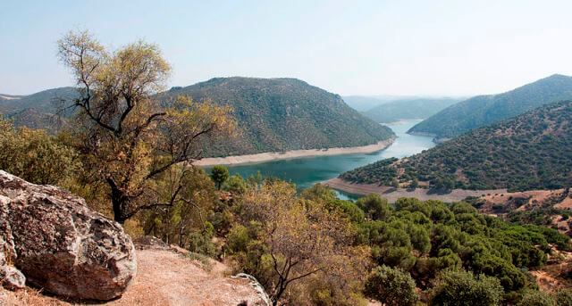
For a large part of its route, the La Sierra Nature Trail runs through two rivers: the Guadalporcún and the Guadalete. Both in perfect condition, they have a common denominator with the rivers of the south of the Iberian Peninsula: their name, which begins with guadal.

Difficulty
high
TOTAL DISTANCE (IN KILOMETERS)
9 km
ESTIMATED RUN TIME
4 hours
SLOPE
420
710
DIFFICULTY. ASSESSMENT ACCORDING TO METHOD MEASURE
1
MEDIO.
Severity of the natural environment
1
Itinerary
Orientation in the itinerary
1
Displacement
Difficulty moving
4
EFFORT.
Amount of effort required
SIGNALING
Sí
TUNNELS: 29
MUNICIPAL TERMS BY WHICH IT RUNS
Los Villares Sierra SurRECOMMENDATIONS
- Wear comfortable shoes and clothing appropriate to the time of year.
- Stock up on water.
- Always be accompanied by another or other hikers.
- Calculate your tour to complete it before sunset.
- In the event of an accident, call the emergency number 112.
DESCRIPTION
The Natural Route of the Sierra runs through rural roads and trails in the municipality. Its starting point is located on the Valdepeñas A-6,060 road, in the access lane to La Carrasquilla Urbanization (Los Torcales lane), ending on the same road at Río Frío. After leaving the Puerto de Navatrillo, on the left, we will ascend to the Llano de Gamonaz, passing by the rock of Beltrán, which is on our left. When we reach the ravine called de los Neveros, we will turn off along the path that leads to Puerto de la Hoya from Otiñar. From Puerto de la Hoya we begin the descent along a lane that connects with the exit of the Pancorbo retreat, near the Frío river.
Follow us #JaénParaísoInterior


