


Ruta Nacimiento del Río Segura – Mirador de Juan León
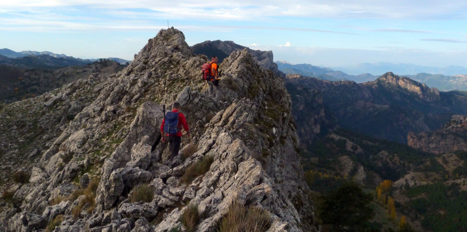
After contemplating at the beginning the large pool where the Segura river is born, the route ascends between pine forests, pastures, small valleys and rocky rocks very broken by karst action.
The route ends in an impressive cliff from which we discover vast panoramic views. To the left, the Banderillas rope and the Sierra de Cazorla. On the right, the summit of Yelmo and the Sierra de Alcaraz of Albacete stand out.
In front, the most immediate is the abandoned village of Los Centenares. Then, the curtains of peaks of the Sierra de Mirabuenos and the Sierra de la Villas, between which the Guadalquivir valley and the Tranco reservoir are hidden. Beyond, the view is lost in the plains of Castilla-La Mancha. The area is continuously flown over by griffon vultures and the mouflon is very abundant.
NAME OF THE TRAIL
Ruta Nacimiento del Río Segura – Mirador de Juan León
TYPE OF TRAIL
Linear Route
Difficulty
Half
ARRIVAL POINT
On the JF-7047 road, which leaves 0.5 km from Pontones (Ponton Bajo) in the direction of Santiago de la Espada, on the right, with the indication “Fuente Segura”.
Nacimiento del Segura Recreational Area, located at the end of the aforementioned road, which is 4.7 km long.
TOTAL DISTANCE (IN KILOMETERS)
5.600
Type of firm
The first km goes by forest track and the rest by road
SLOPE
317 m.
DIFFICULTY. ASSESSMENT ACCORDING TO METHOD MEASURE
0
MEDIO.
Severity of the natural environment
0
Itinerary
Orientation in the itinerary
0
Displacement
Difficulty moving
0
EFFORT.
Amount of effort required
SIGNALING
Sí
MUNICIPAL TERMS BY WHICH IT RUNS
Santiago Pontones Sierra de SeguraRECREATIONAL OR SPORTS AREAS NEAR THE TRAIL
Pontones has various services and at the source of the Segura there is a recreational area with benches and tables. There are no fountains on the route.
DESCRIPTION
Pay attention to the snow in winter and the contrast in temperatures between day and night in summer.
Follow us #JaénParaísoInterior


