


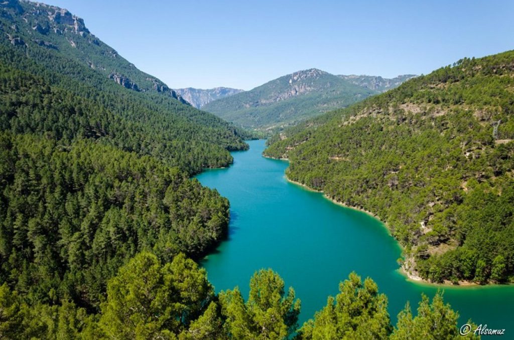
Ruta Embalse de las Anchuricas
In the heart of the Río Segura Valley, in the municipality of Santiago-Pontones.

NAME OF THE TRAIL
Anchuricas Reservoir Route
TYPE OF TRAIL
Linear Route
Difficulty
Low
START POINT
Right next to the source in La Toba, along the track that starts from the water tank.
ARRIVAL POINT
To get to La Toba we must travel the JF-7038 that goes from Navalcaballo to Las Juntas through the Segura River valley. There is a small paved detour from it that goes to the village of La Toba.
TOTAL DISTANCE (IN KILOMETERS)
5.700
Section of track or forest road or promenade 100%
ESTIMATED RUN TIME
1h 30 min
SLOPE
265 m.
DIFFICULTY. ASSESSMENT ACCORDING TO METHOD MEASURE
0
MEDIO.
Severity of the natural environment
0
Itinerary
Orientation in the itinerary
0
Displacement
Difficulty moving
0
EFFORT.
Amount of effort required
SIGNALING
Sí
MUNICIPAL TERMS BY WHICH IT RUNS
Santiago Pontones Sierra de SeguraRECREATIONAL OR SPORTS AREAS NEAR THE TRAIL
It is a short path without difficulty with exceptional views throughout the route that allow numerous stops; but we certainly recommend the one indicated in the second point of the description.
DESCRIPTION
This path coincides in its entire length with the PR-A 128 Circular Embalse de Anchuricas, which has a total distance of 14 km. and it is marked with stone cairns. It also coincides, except in the last section, with the path marked by the Ministry of the Environment, so the distances will not be exactly what we see on the start panel.
Follow us #JaénParaísoInterior


