


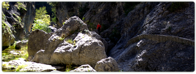
Senda de Pescadores Hiking Route
The River Guadalentín is made up of small streams that flow down from the area around the peak of Majal de la Carrasca in the Cabrilla mountains and join up with another stream; the Arenales. At this point the river is large enough to have a year-round flow, and makes its way south along the floor of a deep ravine. At the Carretas ford it is joined by the San Pedro, an intermittent stream, and later by the Tomillos de Gualay at the Cerrada de la Canaliega gorge. The river continues to flow south and is joined at the bottom of a deep ravine by a series of streams known as the Acebadillas. It is then swelled by the Frío, a stream that takes its name from the gorge in which it meets the Guadalentín, before the river itself then flows into the River Guadiana Menor near the Negratín reservoir between the municipalities of Cuevas del Campo and Zújar.
DIFFICULTY. ASSESSMENT ACCORDING TO METHOD MEASURE
0
MEDIO.
Severity of the natural environment
0
Itinerary
Orientation in the itinerary
0
Displacement
Difficulty moving
0
EFFORT.
Amount of effort required
MUNICIPAL TERMS BY WHICH IT RUNS
Pozo Alcón Sierra de CazorlaFollow us #JaénParaísoInterior


