


Ruta Circular Alto del Montero
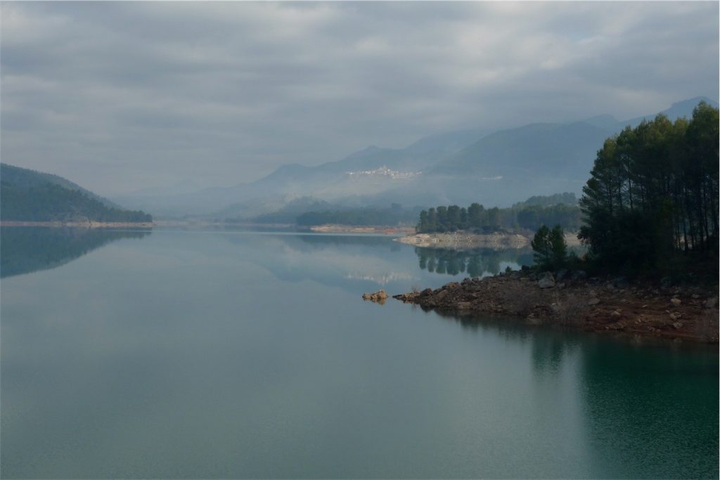
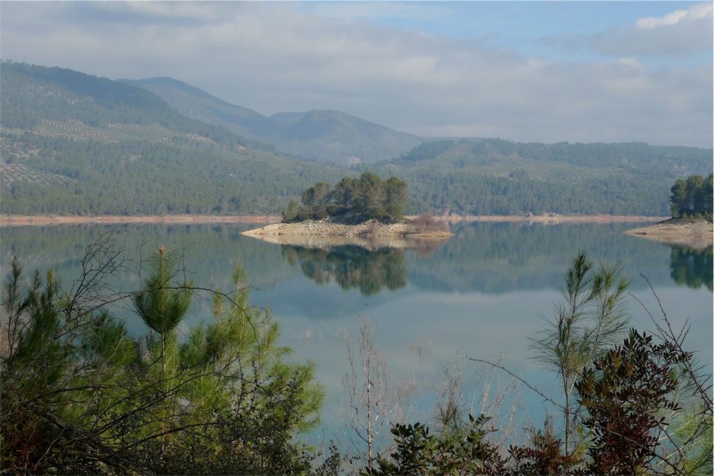
Near the Tranco Reservoir, near Hornos de Segura (approx. 10 km).

TYPE OF TRAIL
Circular Route
Difficulty
high
START POINT
After Fuente de la Higuera, the forest track seems to leave the reservoir to start climbing. Just at that point, to the right, this path starts, along a little traveled forest track.
TOTAL DISTANCE (IN KILOMETERS)
18.9 Km
ESTIMATED RUN TIME
4h 30 min
Type of firm
Forest Track and Path
SLOPE
342m
DIFFICULTY. ASSESSMENT ACCORDING TO METHOD MEASURE
0
MEDIO.
Severity of the natural environment
0
Itinerary
Orientation in the itinerary
0
Displacement
Difficulty moving
0
EFFORT.
Amount of effort required
SIGNALING
Sí
HEIGHT PROFILE
MUNICIPAL TERMS BY WHICH IT RUNS
Hornos de Segura Sierra de SeguraRECREATIONAL OR SPORTS AREAS NEAR THE TRAIL
In the middle of the route, we will find the Montero stream, which we will have to cross twice. It is a very appropriate place to stop and rest.
DESCRIPTION
In Hornos de Segura we take the A-317 road towards Pontones and take a detour to the right, near the village of Hornos el Viejo, towards La Platera. We pass a few meters from this village and come to another crossroads, where the asphalt ends, we turn left, in the direction of the Fuente de la Higuera farmhouse. The start of the trail is 3.5 km (approx.) From this junction. This forest track borders the Tranco Reservoir, we will leave a recreational area on the right, called Fuente de la Higuera and just 200 meters on the right our route begins, initially along a forest track with little use.
A very good trail for wildlife observation, especially wild boar and deer. It is recommended to go quietly and very attentive. The animals usually go down to drink, and are sometimes caught very close to the itinerary. In addition, the semi-abandoned olive groves in the Arroyo Montero area are exceptional pasture areas. This trail can also be done from the Coto Ríos area, entering the Llanos de Arance forest track and following it to the end, where we would find the Montero stream, being circular, we could also do it from there in its entirety.
Follow us #JaénParaísoInterior


