


Route by car: The Summit road
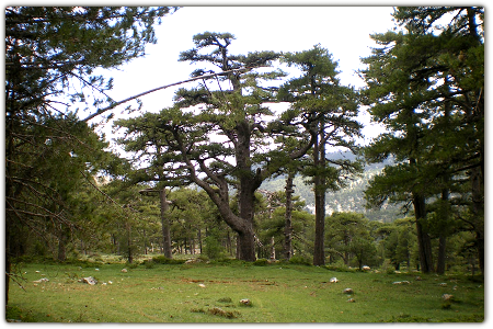
This area is not exactly what its name would suggest. Rather, it is a long, extensive watershed that separates the waters flowing to the Guadalquivir and Segura river basins. It is traversed by the quiet A-317, a road that wanders through woodlands studded with black pines and viewing points with memorable panoramic views over the Tranco reservoir, the sierra of Las Villas, and the Banderillas mountain chain.
This stretch of road is a good place to end a car trip with the viewpoints along the Miradores Route and the road through the Garganta de Hornos gorge. If you like walking, there's a public path that heads east in the direction of the village Cabeza Gorda, passing by the old forestry house at Fuente del Chorro spring and through thick woods of black pine.
DIFFICULTY. ASSESSMENT ACCORDING TO METHOD MEASURE
0
MEDIO.
Severity of the natural environment
0
Itinerary
Orientation in the itinerary
0
Displacement
Difficulty moving
0
EFFORT.
Amount of effort required
MUNICIPAL TERMS BY WHICH IT RUNS
Hornos de Segura Sierra de SeguraFollow us #JaénParaísoInterior


