


Campo del Espino to Banderillas Hiking Route
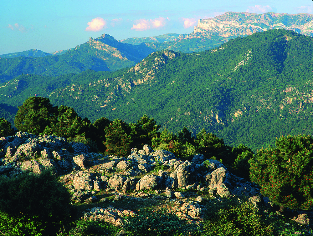
This route begins right in the heart of Campos de Henán Perea, a high intermontane plateau that is located at an altitude of between 1600 and 1700 metres. It is almost entirely treeless, extremely rocky and boasts a great number of funnel-shaped formations – such as sinkholes and potholes – that attest to both the harsh conditions of this area during winter and the nature of its composition. It is, in fact, the largest “sponge” to be found anywhere in the park: the limestone absorbs the water and, over countless years, is dissolved to create this remarkable landscape that many have compared to the surface of the moon. However, despite the fact that at certain times of the year this area may appear to be as dry as a desert, the largest underwater aquifer to be found anywhere in the park is located just beneath the surface.
DIFFICULTY. ASSESSMENT ACCORDING TO METHOD MEASURE
0
MEDIO.
Severity of the natural environment
0
Itinerary
Orientation in the itinerary
0
Displacement
Difficulty moving
0
EFFORT.
Amount of effort required
MUNICIPAL TERMS BY WHICH IT RUNS
Santiago Pontones Sierra de SeguraFollow us #JaénParaísoInterior


