Sendero Control de la Cabrera-Santuario Virgen de la Cabeza
The itinerary that is described includes a section of the GR48 stage that can only be done on foot, by bicycle or on horseback and runs along the traditional path from Marmolejo to the Sanctuary, coinciding with the Cordel de Marmolejo and other livestock routes. It is a long journey but one that allows you to discover solitary places of enormous beauty.
TYPE OF TRAIL
Track
Difficulty
Half
START POINT
From the town of Marmolejo (Jaén), we take the A-420 road towards Cardeña (Córdoba), which goes to the Marmolejo Spa, next to the Guadalquivir river. In this place, as soon as we pass the Roman bridge, we find a crossroads, we must take the local race JV-5.001 to the right, for approximately 12 km (after crossing the La Centenera path), we will take the detour to the left, through which Access the so-called Control de la Cabrera that gives access to the public mountain.
TOTAL DISTANCE (IN KILOMETERS)
15.500
ESTIMATED RUN TIME
5 hours and 30 minutes
Type of firm
Track
DIFFICULTY. ASSESSMENT ACCORDING TO METHOD MEASURE
0
MEDIO.
Severity of the natural environment
0
Itinerary
Orientation in the itinerary
0
Displacement
Difficulty moving
0
EFFORT.
Amount of effort required
SIGNALING
Sí
MUNICIPAL TERMS BY WHICH IT RUNS
Andújar Marmolejo La CampiñaRECOMMENDATIONS
- In the face of COVID19, keep a safe distance and wear a mask, avoid agglomerations and contact with surfaces, wash your hands frequently, use hydroalcoholic gel and consult the digital materials available. Take care of your health and that of others.
- Help prevent fires. Do not throw cigarettes or any other object that produces combustion.
- Consuming local products and counting on companies in the area, you will contribute to rural development.
- Live respectfully with the locals and other users. Respect property and private property.
- Get around in a sustainable way: public transport, bicycle, on foot, shared vehicle ...
- Noise is another form of pollution. In silence you will enjoy your experience more.
- Facilitates use for people with special needs.
- Trash doesn't come back alone. Take it with you to the nearest container. Reduce, reuse, recycle.
- Do not leave a trace of your passage through nature.
- Practice responsible tourism and committed to the environment. Be a true ecotourist!
- Respect the facilities put at your disposal. We all pay for its maintenance.
- Check the weather forecast before starting your activity.
- Avoid going out alone. If you do, communicate the route and time of return to other people.
- Extreme caution in adverse conditions and in the occasional presence of animals or motor vehicles.
- Find out in advance about the possible existence of hunting activity.
- Bring water, sun protection, suitable clothing and footwear.
- Bring a mobile phone with enough battery in case of emergency (112), but remember that there is not always coverage.
- Do not disturb or feed the animals. You would negatively alter their behavior.
- For your safety and that of the environment, do not go off the marked path or take shortcuts.
- Remember that it is forbidden to capture animals, light fires, fish and collect plants or minerals.
- If you bring a dog, take it on a leash and make sure it does not disturb other animals or people.
- Your safety is our concern, but it is your responsibility.
Thank you for your collaboration!
DESCRIPTION
We begin the tour at the access to Monte Lugar Nuevo through the Cabrera Control. We descend along a track that first crosses a lush forest of cork oaks and holm oaks and then a wooded area from where the Jándula River and the Sanctuary can be seen.
We continue descending the track until we reach a granite gate crossed by a steel cable, known as the "Cable del Espinarejo", which we cross and continue along the same track for 150 m and then take a narrower path that leaves on the right. We ascend through it, crossing the pine forest until we reach the pedestrian gate of Las Majadillas, where we will leave Monte de Lugar Nuevo.
After ascending a few more meters, we will connect with a forest track that for about 4.7 km, crosses the Navalasno and La Navarra preserves. In this section we will observe a typical landscape of the granite sector of the natural park, in which forests of holm oaks and junipers, meadows and rocky outcrops alternate.
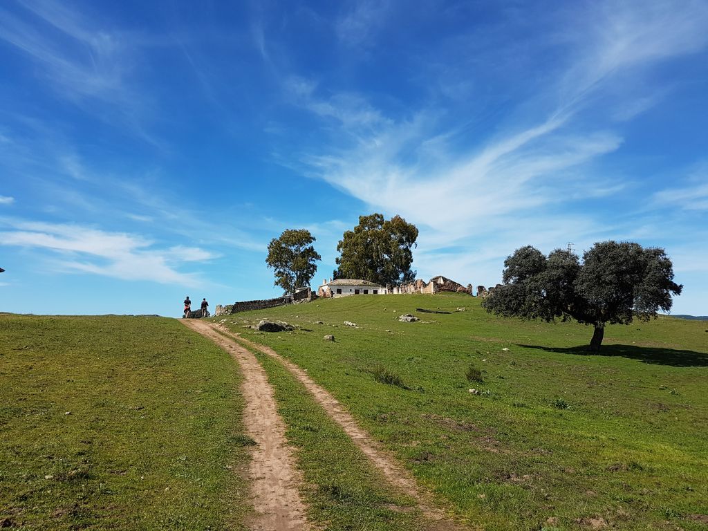
After reaching the ruins of the Cortijo de Navalasno Viejo, we will soon re-enter Monte Lugar Nuevo through the pedestrian gate of Fuencubierta.
Now begins a descent along a path between oaks and granites that will take us to Arroyo de los Santos. A beautiful seasonal riverbed flanked by large ash trees. Later we will ascend by a path through an open pine forest until we reach another pedestrian gate and a granite road that leads to a forest track that we will take to the left and continue for 1.4 km until we reach the Cofradía de Marmolejo, within the Poblado of the Sanctuary.
Source of information


