


Ruta de la Sierra de los Ahillos
The Sierra de Ahillos is a small mountain formation integrated in the Sierra Sur de Jaén. It is an interesting example of an inland Mediterranean mountain, with a natural forest landscape and olive groves, dotted with farmhouses and isolated villages.
Difficulty
Half
START POINT
To access the starting point, in Alcaudete, take the road to Las Casillas, a district of Martos. Before crowning the hill, and at the bend of a fence, you can park your vehicle. At this point there is a source of drinking water located in a ravine.
TOTAL DISTANCE (IN KILOMETERS)
30,600 km.
ESTIMATED RUN TIME
4 hours 53 minutes
SLOPE
927 m
927 m
DIFFICULTY. ASSESSMENT ACCORDING TO METHOD MEASURE
0
MEDIO.
Severity of the natural environment
0
Itinerary
Orientation in the itinerary
0
Displacement
Difficulty moving
0
EFFORT.
Amount of effort required
MUNICIPAL TERMS BY WHICH IT RUNS
Alcaudete Sierra SurRECOMMENDATIONS
It is recommended to start the route in the Old Station of Alcaudete, since in this sense the kilometers of ascent are less.
DESCRIPTION
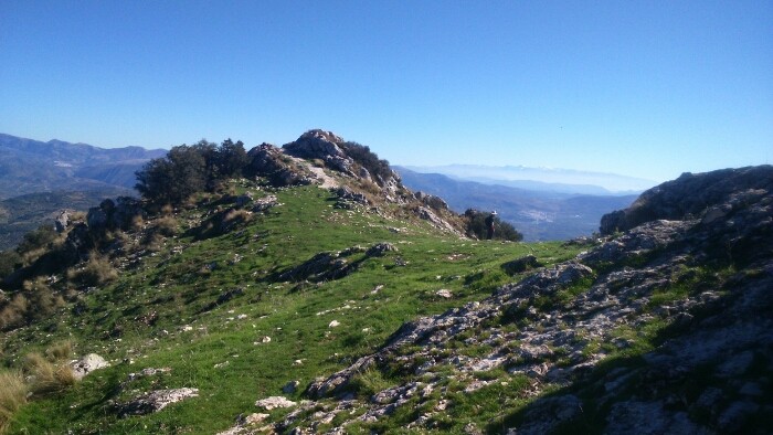
This alternative route connects Alcaudete station (kilometer point 48,250 of the Vía verde del Aceite) with that of Vado Jaén (kilometer point 36,950 of the Vía). The tour begins at the old Alcaudete Station (km 0.00). From here we go to Alcaudete. In the center of the town we take the signposted detour to the Fuente Amuña spot. At kilometer 6,400 we reach the Fuente Amuña junction, where we will continue towards Casillas de Martos. The road rises up a curved path that for several kilometers offers good views of the countryside. At the 11,600 kilometer of travel we see a typical mountain farmhouse located in a nava or depression in the interior of the mountains. On the right-hand side, according to the direction of travel, we can see the Pico Ahillos (1,453 m.) Which preserves a lush slope of Mediterranean vegetation, and which gives this mountain its name. Through trails you can ascend to this summit. At kilometer 13,400 we reach the port, and the road begins its descent (at the crossroads choose the option on the right). After five kilometers of quiet descent, you pass a small village that preserves a unitary school, witness to almost extinct rural ways of life. The 22 kilometer route reaches the tail of the Víboras River reservoir (at this point there is a complete rental rural house “La Morata”). After 2 kilometers, the wall of the dam serves as the entrance to the village of Las Casillas de Martos. At kilometer 25,400 we turn at the roundabout towards Martos and Alcaudete. This road leads us directly to the Vía Verde, and after 30,600 kilometers of pedaling we arrive at the Old Station of Vado Jaén.
Follow us #JaénParaísoInterior


