


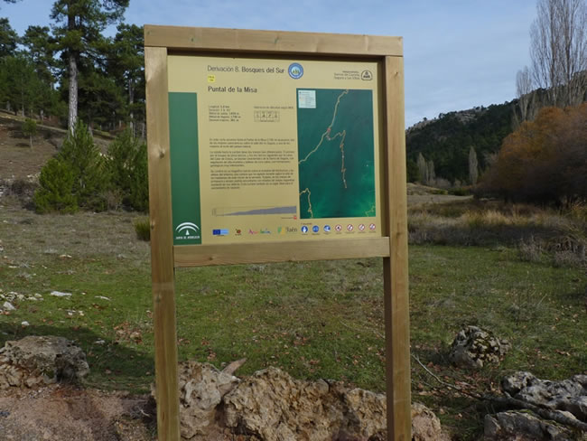
Puntal de La Misa

The derivation to the Puntal de la Misa starts from the village of Cañada del Saucar located at kilometer 2.6 of Stage 20, which begins in the village of Prado Maguillo. It is a linear route, which will have to be done back and forth. You go up a forest track in the middle of immense black pine forests, leaving below the valleys of Los Anchos and Río Madera. As we gain height, the vegetation becomes sparse until it is reduced to an austere broom.
Once at the top of the calar, we discover the grandiose and overwhelming atmosphere of the Segureña high mountain: a huge karst platform with meadows where the Segureña sheep herds graze, broken by sinkholes (sinkholes called "sorbeores" in the area), hidden vaguadillas and sharp rocks.
The remains of stone walls of old agricultural terraces remain in the calar, witnesses of the harshness of the old rural life, in which the mountain people came up from nearby villages to plant cereals, taking advantage of the humidity that the soil conserves in a few valleys. Carrying out such hard journeys on a daily basis to start such meager returns is ...
The derivation to the Puntal de la Misa starts from the village of Cañada del Saucar located at kilometer 2.6 of Stage 20, which begins in the village of Prado Maguillo. It is a linear route, which will have to be done back and forth. You go up a forest track in the middle of immense black pine forests, leaving below the valleys of Los Anchos and Río Madera. As we gain height, the vegetation becomes sparse until it is reduced to an austere broom.
Once at the top of the calar, we discover the grandiose and overwhelming atmosphere of the Segureña high mountain: a huge karst platform with meadows where the Segureña sheep herds graze, broken by sinkholes (sinkholes called "sorbeores" in the area), hidden vaguadillas and sharp rocks.
The remains of stone walls of old agricultural terraces remain in the calar, witnesses of the harshness of the old rural life, in which the mountain people came up from nearby villages to plant cereals, taking advantage of the humidity that the soil conserves in a few valleys. Carrying out such hard journeys on a daily basis to start such meager returns is unthinkable today.
From the forest guardhouse of Puntal de la Misa, and along the east face of the calar, we will dominate memorable panoramic views over an infinite succession of mountainous lines on the other side of the deep valley carved by the Segura river. The stall is frequented by groups of mountain goats and flown over by the griffon vulture. In the cuts there are also peregrine falcons. Wild boar abounds throughout the area.
Technical information
Route Name Rutas Bosques GR247
Rutas Bosques GR247 8: Puntal de La MisaHUSO 30S
Cañada del Saucar: x538912 y4233048
Puntal de la Misa: x539714 y4230327
Cañada del Saucar: x538812 y4232841
Puntal de la Misa: x539602 y4230120
TOTAL DISTANCE (IN KILOMETERS)5876
Asphalt or cement section 0 %
Section of track or forest road or promenade 100 %
Senda section 0 %
tramos-de-Vía-pecuaria 0 %
ESTIMATED RUN TIMEO
1 h 51 minMAXIMUM SLOPE381 m
DIFFICULTY. ASSESSMENT ACCORDING TO METHOD MEASURE
1
MEDIO.
Severity of the natural environment
1
Itinerary
Orientation in the itinerary
1
Displacement
Difficulty moving
2
EFFORT.
Amount of effort required
Rutómetro
Cañada del Saucar
The path is developed entirely by a narrow track that crosses the stream at its beginning, winding several times to gain height between a slender black pine forest. 1.6 kilometers from the beginning, we go through Collado Portillo del Cerezo, to descend a few meters towards a valley and continue the ascent. The landscape that surrounds us is changing, rocky areas with creeping species, generally of short stature and spines or pointed leaves alternate with reforestation pine forests.
Calar del Cobo
The tree species disappear definitively and soon we arrive at Calar del Cobo, one of the largest in this area, with more than 3 kilometers from one end to the other. These places were formerly used as a cereal growing area, to supplement the feeding of livestock in the less productive months.
The Calares are predominantly flat areas in the upper part of the mountains, responsible for the richness of water in the lower areas, as they collect rainwater and snow, and store it in the pores of the limestone rock, releasing it little by little. .
Just at the crown of the calar, towards the east and in the lower part, we can see a large funnel, which corresponds to a chasm, in an incipient state of formation.
It is worth going to the edge, where we will realize that the chasm is located in the lowest part of a depression in the terrain. From this it derives that the scarce runoff existing in the upper part of the calar seeps just at that point, which accelerates the dissolution of the rock and encourages the ...
Calar del Cobo
The tree species disappear definitively and soon we arrive at Calar del Cobo, one of the largest in this area, with more than 3 kilometers from one end to the other. These places were formerly used as a cereal growing area, to supplement the feeding of livestock in the less productive months.
The Calares are predominantly flat areas in the upper part of the mountains, responsible for the richness of water in the lower areas, as they collect rainwater and snow, and store it in the pores of the limestone rock, releasing it little by little. .
Just at the crown of the calar, towards the east and in the lower part, we can see a large funnel, which corresponds to a chasm, in an incipient state of formation.
It is worth going to the edge, where we will realize that the chasm is located in the lowest part of a depression in the terrain. From this it derives that the scarce runoff existing in the upper part of the calar seeps just at that point, which accelerates the dissolution of the rock and encourages the formation of the funnel or sinkhole.
With the passage of time in the sinkholes, chasms are generated, which are vertical galleries whose depth can reach hundreds of meters.
Continuing the track to the south of this stall, we pass by the stall tinada located 3.6 kilometers from the beginning. These areas are rich in cool summer pastures, which is why herds of Segureña sheep are common during those months.
Prop of the Mass
At the southern end of the Calar we arrive at the Puntal de la Misa at 1796 meters of altitude. It has a fire guardhouse operational in the summer months.
In addition to wide views over the higher altitudes of the Park and the neighboring provinces of Albacete and Granada, to the south, the Segura River Valley will give us a magnificent panoramic view of the Anchuricas Reservoir. Very close to the top we can see ruiniform vertical limestone formations located on the crest of this mountain, which are known as the Dientes de la Vieja.

Follow us #JaénParaísoInterior


