


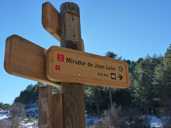
Mirador de Juan León

This Bypass of the Bosques del Sur Trail starts from Stage 17 Campo del Espino Refuge - Pontones, 8.7 kilometers from its beginning and one kilometer from the Nacimiento del Segura, just between the Cañada de la Cruz and the Nacimiento del Segura.
We will arrive at a natural balcony formed by crenellated rocks and located at 1700 meters of altitude, enjoying a spectacular panoramic view.
The Sierra de las Villas will extend before us to the west, to the south that of Cazorla and to the east that of Segura, all of them with their most representative peaks. The view of the Barranco del Lobo, next to which sits the uninhabited village of Los Centenares, is impressive. From the viewpoint you can still see the eras that its inhabitants used to winnow the grain.
In progressive ascent we will enjoy a pleasant landscape that is transformed as we advance. We will contemplate areas with imposing isolated black pines, thick forests and noble scrub with protected species. In spring we will be seduced by the large peony flowers, with a striking fuchsia color.
At other times the l ...
This Bypass of the Bosques del Sur Trail starts from Stage 17 Campo del Espino Refuge - Pontones, 8.7 kilometers from its beginning and one kilometer from the Nacimiento del Segura, just between the Cañada de la Cruz and the Nacimiento del Segura.
We will arrive at a natural balcony formed by crenellated rocks and located at 1700 meters of altitude, enjoying a spectacular panoramic view.
The Sierra de las Villas will extend before us to the west, to the south that of Cazorla and to the east that of Segura, all of them with their most representative peaks. The view of the Barranco del Lobo, next to which sits the uninhabited village of Los Centenares, is impressive. From the viewpoint you can still see the eras that its inhabitants used to winnow the grain.
In progressive ascent we will enjoy a pleasant landscape that is transformed as we advance. We will contemplate areas with imposing isolated black pines, thick forests and noble scrub with protected species. In spring we will be seduced by the large peony flowers, with a striking fuchsia color.
At other times the landscape opens up, revealing rocky rocks and brooms, indicative of the altitude at which we are. Throughout the climb we will find some tines and tornajos, constructions destined to shelter and feed the cattle. Walking these roads and observing the landscape we will discover the life of these lands.
Already on the balcony we must be vigilant, because at any moment a raptor with its majestic flight may appear, perhaps pursued by crows in their fight for the territory and with a bit of luck the elusive bearded vulture, because very close to our path it one of the caves used in the reintroduction program.
Technical information
Route Name Rutas Bosques GR247
Rutas Bosques GR247 6: Mirador de Juan LeónHUSO 30S
Pista a Pinar del Risco: x526290 y4215646
Mirador de Juan León: x523489 y4212856
Pista a Pinar del Risco: x526147 y4215438
Mirador de Juan León: x523377 y4212648
TOTAL DISTANCE (IN KILOMETERS)4600
Asphalt or cement section 0 %
Section of track or forest road or promenade 100 %
Senda section 0 %
tramos-de-Vía-pecuaria 0 %
ESTIMATED RUN TIMEO
1 h 12 minMAXIMUM SLOPE229 m
DIFFICULTY. ASSESSMENT ACCORDING TO METHOD MEASURE
1
MEDIO.
Severity of the natural environment
1
Itinerary
Orientation in the itinerary
1
Displacement
Difficulty moving
2
EFFORT.
Amount of effort required
Rutómetro
Track to Pinar del Risco
A 1 kilometer from the Nacimiento del Segura, along the GR 247 towards the Campo del Espino Refuge, starts a narrow track heading southwest, easy to identify because it has a barrier to limit the passage of vehicles right at its beginning.
This crossing is the point of separation of several trails, since the GR 247 and the GR 144, which coincide in the section up to the start of the Derivation, separate from the GR 7, which will accompany us for almost the entire route to the Mirador by Juan León.
We walk in the initial section of Pinar del Risco, straddling the lushness of a thick and slender pine forest and the ruggedness of the broom and rocky areas, which occupy the least fertile areas and most exposed to harsh winter conditions. It is a livestock area par excellence, where it is easy to find shepherds and their flocks of Segureña sheep or mountain goats occupying the herds and natural shelters.
There are usually vehicle tracks that enter indistinctly to the right or left, which have little continuity and must be discarded. We will always follow the main track in a gentle ascent.
Fork
The climb ends, finding to the right a pleasant ravine that invites us to explore it, while on the left we leave the GR 7 that continues towards Hoya del Ortigal, located one kilometer away, where it connects with variant 247.2 between Refugio de Campo del Espino and Coto Ríos, thus allowing different options for the hiker. Our route turns to the right along a valley flanked by rocky hills.
Juan León viewpoint
The route ends in a meadow delimited by a rocky arch that constitutes the natural viewpoint. It is recommended to go up to the promontory where the track ends to enjoy this great panoramic view over the Tranco Reservoir, the Guadalquivir Valley and the great peaks of the Natural Park.

Follow us #JaénParaísoInterior


