

Prebetic Geology: The Calcareous and Fossil Heart of the Park
The mountains of the Park are the best representation of the Prebetic Dominion of these ridges, predominating the carbonated rocks, limestones and dolomies, with a great abundance of fossils, and intercalations of margas and detritic levels, mainly sands.
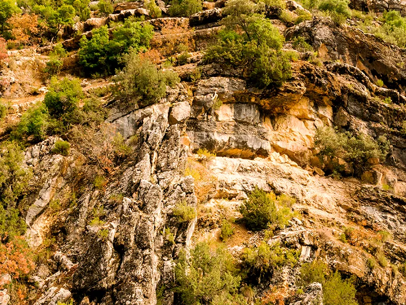
The formation of betic lambs
In order to understand the geological history, we have to step back. The materials that make up these mountains come from sediments found in a large geosincline, of regional dimensions, the one located between the African geological plate and the Iberian plate, which during the Mesozoic (between 251 and 65 million years ago) and the Cenozoic (from 65 million years ago) formed a huge marine basin. The rapprochement of the two continents (of the corspondant earth crust), the African and the European, gave rise to the formation of these ranges by folding and deformation of marine materials. It was about 62 million years ago, when the so-called alpine folding began, developing mountains such as the Alps and others of the Mediterranean basin, among which are those of the Natural Park.
In the whole of the Betic Cordilleras, the natural park is located within the Prebetic Zone, which links with the geological formations of the Iberian plateau. Within this area there is a clear division: the Internal Prebetic and the External Prebetic. The distinction between the two is defined by the florings of the triasic materials that discover the Guadalquivir River, the result of the erosion that it produces in these saws.
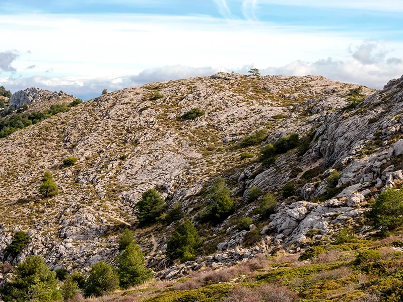
The geological history of the park
During the Paleozoic (between 542 and 251 million years ago), the great sinchinal in the region folded into the Hercidian movement. The Plateau, where erosion predominated, and a series of deposits that would form the Betic Cordilleras, were later differentiated.
During the Mesozoic (between 251 and 65 million years ago) a series of geological actions of great importance to these saws take place, which is summarized as follows:
Triassic period (between 251 and 200 million years ago). The territory is occupied by the sea and clay and sands are deposited. At the end of this period the waters suffer a strong evaporation, resulting in the emergence of lagoons, where the materials from that evaporation are deposited.
Jurassic period (between 200 and 145 million years ago). Much of the basin is still covered by the sea. A number of materials of a dolomitic type and margas appear. Already at the end of this period, there is a lifting of materials.
Cretaceous period (145 to 65 million years ago). In the middle of this period there is a major marine transgression, forming some coral reefs, with a clearly shallow marine environment. As the waters that culminate with the reservoir of limestones and dolomies fall back. During Cenozoic (from 65 million years to the present), the following geological events occur:
Paleogen period (65-23 million years ago). The marine waters are removed again forming some gaps caused by the waters accumulated during the previous period. At the end of this period there is a ride to the northwest, folding and eroding the region.
Neogen period (between 22 and 2 million years ago). a marine transgression is again produced, and more importantly, a
instability, which brings with it subbetic riding and prebetic folding. There is a compression of sediments that are deformed, broken and stacked in tectonic units that end up emerging from the waters, in a very slow process that continues today.Quaternary period (from 2 million years to now). The present forms of relief of these saws are developed. There is a rise of about a thousand meters where rivers tend to fit in and erode the landscape until they reach the current configuration, leaving the Segura saw with softer and more compact shapes, while those of Las Villas and Cazorla have more broken forms.
The Serra de Segura: the Internal Prebetic
It is made up of most of the Segura and La Cabilla and El Pozo mountains. It represents the most remote continental shelf area from the old continent. There are frequent succession of folds, a result of a take-off tectonic, although with very sharp changes in the tectonic and paleogeographic guidelines. Although some rocks made up of materials of the Jurassic are afloat, the materials corresponding to the Cretaceous are much more representative, mostly composed of an alternation of margas, limestone and dolomies.
All this series of materials indicate the presence in the area in remote times of a shallow marine ecosystem, from which some summits emerged. This depth increases in a southeast direction, which we can see from the abundant remains of marine fossils that can be observed. In the valleys of the Sierra de Segura and in the northwest area of this region, there are also triasic materials, such as red margas with plaster.
The saws of Cazorla and Las Villas: the Prebetic External
It occupies the mountains of Cazorla and the Four Villas, as well as the west of the Serra de Segura. It is the area closest to Sierra Morena and the tabular shed of the Plateau, that is, to the ancient continent. The Jurassic florings, especially dolomies and limestone, are dominated by clays and interspersed marches. The Cretaceous is unpowerful. The vertical flare failures to the west and the tight folds that lead to a succession of crest and undulations abound.
Fossils
In your walks in the Park, especially in certain areas, you can find amazing fossils of bivalve animals, clam-like animals. Of the existing fossils are the ammonites, which lived in the seas between 240 and 65 million years ago and were extinguished at the same time as dinosaurs. They can be found all over the Park and their size is very variable, from the smaller ones, only 1 cm, to those that reach almost 50 cm in diameter.
