Greenwaand (Vía Verde) de Linares
Description
The sinuous descent of Linares al Guadalimar
Datos de la ruta
ROUTE NAME
Vía Verde de Linares
TRAIL TYPE
Trail
DIFFICULTY
Fácil
TOTAL DISTANCE (IN KILOMETERS) 6,6 km
-
Stretch of asphalt or concrete:
-
Section of track, forest road, or dry watercourse:
-
Trail section:
-
Sections of livestock trails:
HUSO 30S
ESTIMATED TRAVEL TIME
ROAD SURFACE TYPE
Compacted aggregate base
--
--
DIFFICULTY. RATING ACCORDING TO THE MIDE METHOD
--
MEANS
Severity of the natural environment
--
ITINERARY
Route guidance
--
DISPLACEMENT
Difficulty moving about
--
EFFORT
Amount of effort required
ACCESSIBILITY TYPE
It can be taken by foot, by mountain bike and by wheelchair.
TIME OF YEAR
All year round
SIGNALING
No
PERFIL DE ALTURAS

MORE INFORMATION
TUNNELS
STEEL VIADUCTS
METAL WALKWAYS
WATER POINTS
PONTOONS
GUARD BOOTHS AND BARRIERS
SWITCHMAN'S CABINS
CYCLABILITY
RECREATIONAL OR SPORTS AREAS NEAR THE TRAIL
4 rest areas, equipped with tables, banks, parking bikes, stationery and fountains.
AID STATIONS
LINKS TO OTHER TRAILS
SHELTERS
RECOMMENDATIONS
OTHER INFORMATION OF INTEREST (ARCHITECTURAL OR HISTORICAL-CULTURAL, GEOLOGICAL-ECOLOGICAL)
This Via Verde has a protected natural space located within a radius of less than 5 Km.: The ZIC of the Guadalimar River (Red Natura 2000).
Mirador del Valle, from where you can have a wide and beautiful view of the Guadalimar valley and various nearby villages.
Technical Description
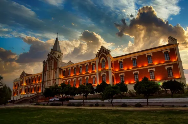
The Via Verde de Linares runs along 6 Km., from the old station of Linares- San José, better known in the municipality as the"Almería Station"untilLinares- Baeza station, corresponding to the old railway route between Linares and Almería.
The need and interest of this late railway were justified with the aim of bringing the new means of transport to the unprotected Eastern Andalusia, which until then, 50 years after the first Spanish railway, had been left out of the state's railway plans.
The objective of the new railway company created around the railway from Linares to Almería, the Southern Spain Iron Walk Company, was to make the transport of lead more attractive to the Almerian port due to the lower mileage between the mining city and the port of Almería. The kilometres of road linking the Linares- Baeza Station with that of Linares- San José, were not completed until 1904. The mining crisis in this region caused this section to lose traffic, leaving trains through its tracks in 1961.