Trail del cerro de las Mancebas
Description
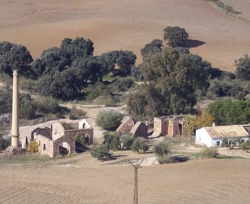
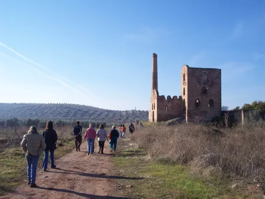
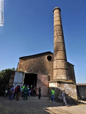
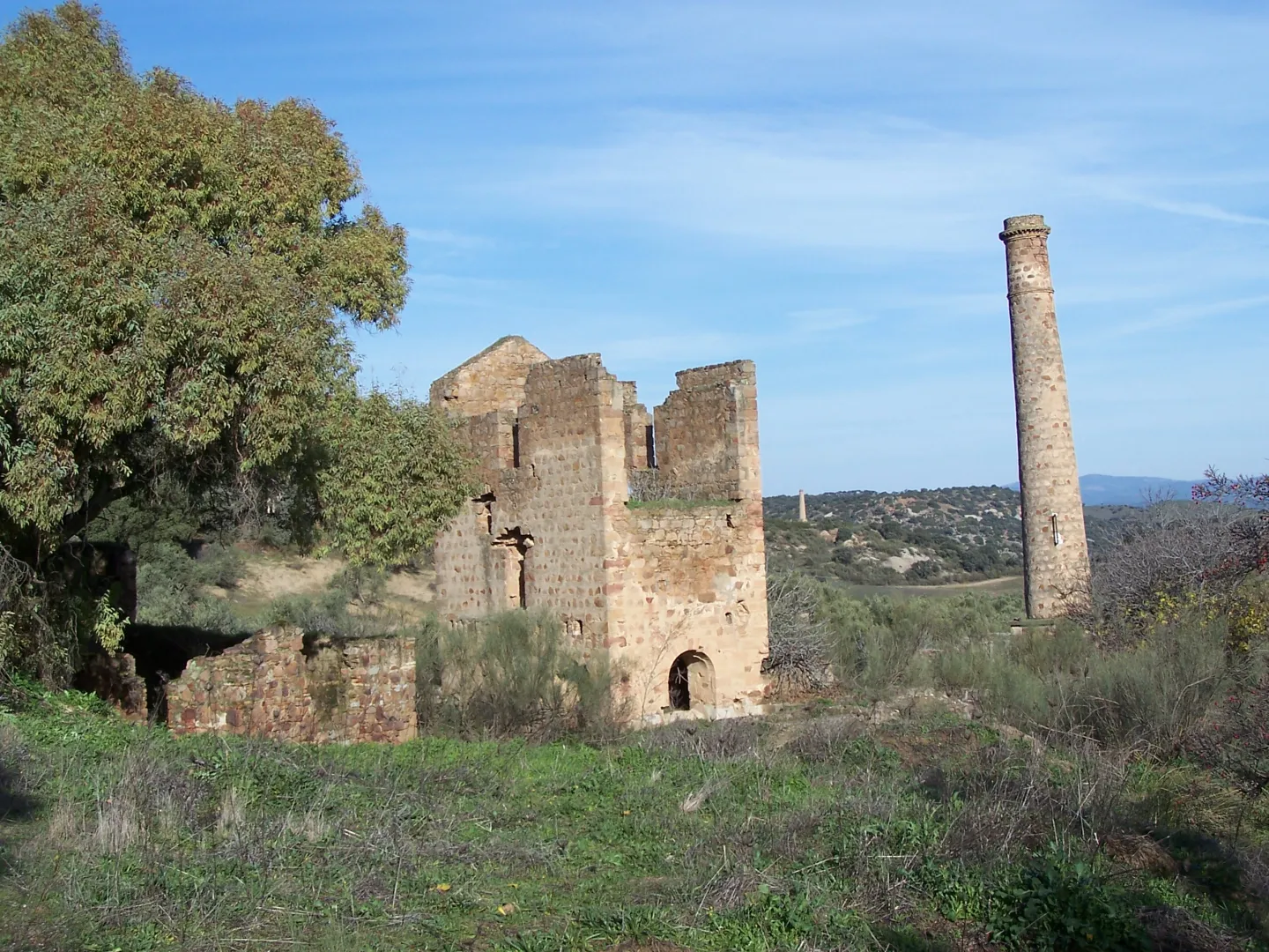
The path begins at La Fundado La Cruz (see the path of Pico, PR-A 260). We are heading for the well-known Cadenas, which is reached after passing by an old Civil Guard headquarters and through the Vimora mineral wash. After the La Cruz fireplace, which was 100 meters high (today it is 57 m), the trails are separated.
Datos de la ruta
ROUTE NAME
Sendero del cerro de las Mancebas
TRAIL TYPE
Linear
DIFFICULTY
--
TOTAL DISTANCE (IN KILOMETERS) --
-
Stretch of asphalt or concrete: --
-
Section of track, forest road, or dry watercourse: --
-
Trail section: --
-
Sections of livestock trails: --
HUSO 30S
ESTIMATED TRAVEL TIME
ROAD SURFACE TYPE
Road
--
--
DIFFICULTY. RATING ACCORDING TO THE MIDE METHOD
--
MEANS
Severity of the natural environment
--
ITINERARY
Route guidance
--
DISPLACEMENT
Difficulty moving about
--
EFFORT
Amount of effort required
ACCESSIBILITY TYPE
On foot
TIME OF YEAR
All year round
SIGNALING
Sí
MORE INFORMATION
TUNNELS
STEEL VIADUCTS
METAL WALKWAYS
WATER POINTS
PONTOONS
GUARD BOOTHS AND BARRIERS
SWITCHMAN'S CABINS
CYCLABILITY
RECREATIONAL OR SPORTS AREAS NEAR THE TRAIL
AID STATIONS
LINKS TO OTHER TRAILS
SHELTERS
RECOMMENDATIONS
OTHER INFORMATION OF INTEREST (ARCHITECTURAL OR HISTORICAL-CULTURAL, GEOLOGICAL-ECOLOGICAL)
Technical Description
The itinerary turns left and gently descends between chaps, next to air-navigation antennas, enjoying beautiful panoramic views. It concludes the fall at a crossroads between the Cerro de las Manciebas and Pico, near the Dark Porvenir well. We continue on the right to reach the hill, connecting with the path of the Garza, PR-A 262. Let us go on a path that will make us drunk by its beauty and by the history of its mining remains: the Pozo Zulueta, the Pozo de San Ignacio and the Lavadero de Mineral de Arrayanes, as well as views of the valley of the lagoons.
In the Lavadero de Arrayanes (construction on the hillside to take advantage of a gravity circuit that separated the mineral, through several phases) we moved away from the path of La Garza to continue a ramp to reach the well of San José and the Central Electric, where the route coincides again with the path of Pico to the well restoration, in which they are separated following the Green Way.
About 100 meters from this point the Via Verde is bifurca (1); on the left you reach the La Cruz Fundition road, which we follow 20 meters to take a lane to the left, next to a ruins, which leads to an aerodrome. We find two branches outside the path, both on the left, interesting if time is available, the first leads to the well Chaves and the second to the High Alamillo Mine with the possibility of enjoying an unbeatable view. Later there is the urbanization of La Cruz, where we will reach the beginning of this mining route.
(1) This bifurcation on the Green Way on the right is a shortcut to the La Cruz Fundition when little time is available to make the route marked