

Trail de La Garza
Description
Starting from the "La Garza" Sports Complex located north of the municipality of Linares, following the lane in the direction of Guarroman, we are entering the fertile valley of the Lagunas, where every passing day more greenhouses appear. Before the first houses we will have the option to take a derivation to visit the Mina de San Andrés (3.2 Km away and back) towards the Embalse La Fernandina, an area with abundant vegetation.
Datos de la ruta
ROUTE NAME
Sendero de La Garza
TRAIL TYPE
Linear. Round trip
DIFFICULTY
Baja
TOTAL DISTANCE (IN KILOMETERS) --
-
Stretch of asphalt or concrete: --
-
Section of track, forest road, or dry watercourse: --
-
Trail section: --
-
Sections of livestock trails: --
HUSO 30S
ESTIMATED TRAVEL TIME
ROAD SURFACE TYPE
--
--
DIFFICULTY. RATING ACCORDING TO THE MIDE METHOD
--
MEANS
Severity of the natural environment
--
ITINERARY
Route guidance
--
DISPLACEMENT
Difficulty moving about
--
EFFORT
Amount of effort required
ACCESSIBILITY TYPE
On foot
TIME OF YEAR
All year round
SIGNALING
Sí
MORE INFORMATION
TUNNELS
STEEL VIADUCTS
METAL WALKWAYS
WATER POINTS
PONTOONS
GUARD BOOTHS AND BARRIERS
SWITCHMAN'S CABINS
CYCLABILITY
RECREATIONAL OR SPORTS AREAS NEAR THE TRAIL
AID STATIONS
LINKS TO OTHER TRAILS
SHELTERS
RECOMMENDATIONS
OTHER INFORMATION OF INTEREST (ARCHITECTURAL OR HISTORICAL-CULTURAL, GEOLOGICAL-ECOLOGICAL)
Technical Description
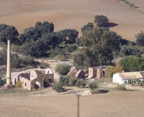
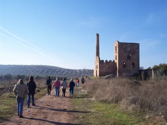
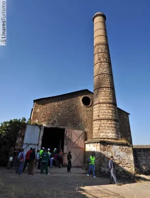
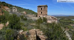
Back to the main path we are heading towards the hill that form El Cerro de las Manciebas and el Cerro Paño Pico for a cross-sectional tour that offers a magnificent panorama of this place surrounded by mining remains where its slender chimneys stand out. At the crossing of the hill we connect with the trail Cerro de las Manciebas, PR-A 261, which ascend to the left together, so that we can enjoy the views and the aroma of the valley and breathe the history by passing by the Pozo Zulueta, Pozo San Ignacio and the Abradero de Mineral de Arrayanes, end of the common stretch. To the Lavadero is reached by descending to the left, at a crossing, by an eroded road, from where an old line dismantled from the mining railway connects it with the Cuesta del Mimbre, turned into a wide track very crossed by the trucks of the quarry. This place in turn converges in a short section common to the PR-A 263 that links Linares, from the Hermitage of Linarejos, with the Mina del Mimbre.
Flying down the track to the same valley the path returns without difficulty to the "La Garza" Sports Complex.