Useful Information
Natural environment: Inglés: Olive grove countryside, gallery forest of the Guadalimar River, fertile plain of the Guadalquivir River, and beautiful panoramic views of Sierra Mágina.
Distance: 15,30 Km.



From the forest in the gallery of the Guadalimar River to the Vega olives of the Guadalquivir River.
This road runs almost entirely between olive fields, approaching the Guadalimar River in its northern half, which allows you to enjoy lush views. The tour is splashed by numerous viaducts and tunnels that draw abrupts and high hills.
ROUTE NAME
--
TRAIL TYPE
Trail
DIFFICULTY
Moderado (por la distancia a recorrer)
TOTAL DISTANCE (IN KILOMETERS) 15,30 Km.
Stretch of asphalt or concrete: --
Section of track, forest road, or dry watercourse: --
Trail section: --
Sections of livestock trails: --
HUSO 30S
ESTIMATED TRAVEL TIME
ROAD SURFACE TYPE
Double layer of compacted gravel and asphalt treatment.
--
--
DIFFICULTY. RATING ACCORDING TO THE MIDE METHOD
--
MEANS
Severity of the natural environment
--
ITINERARY
Route guidance
--
DISPLACEMENT
Difficulty moving about
--
EFFORT
Amount of effort required
ACCESSIBILITY TYPE
TIME OF YEAR
SIGNALING
No
MORE INFORMATION
TUNNELS
STEEL VIADUCTS
METAL WALKWAYS
WATER POINTS
PONTOONS
GUARD BOOTHS AND BARRIERS
SWITCHMAN'S CABINS
CYCLABILITY
RECREATIONAL OR SPORTS AREAS NEAR THE TRAIL
6 areas with banks, picnic tables, stationery and parking bikes.
AID STATIONS
LINKS TO OTHER TRAILS
SHELTERS
RECOMMENDATIONS
Some trinches of entry to the tunnels are encapsulated and soaked in the rainy season.
OTHER INFORMATION OF INTEREST (ARCHITECTURAL OR HISTORICAL-CULTURAL, GEOLOGICAL-ECOLOGICAL)
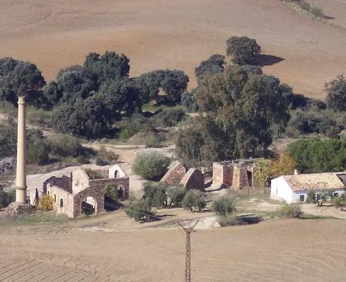
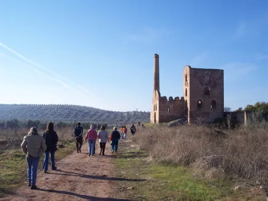
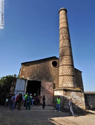
Liners: Monumental complex, mining and industrial heritage, ruins of the Ibero-Roman city of Catulo and centres of interpretation of the Landscape Mining and Metallurgy.
Articles: Cyclopoeal wall (Artistic Historical Monument) and church of St. Peter and St. Paul.
Lupion: A defensive torreon (13th century) and church of the Assumption.
Torreblasphicopedron: Parish of San José.
Begíjar: Church of Santiago Apostle, Arab turret, cover of the town hall and episcopal palace.
This Via Verde has 4 protected natural spaces located within 5 km: The ZIC Río Guadalimar, Laguna Grande, and the lower section of the Guadalimar and Alto Guadalquivir River (Red Natura 2000), as well as the El Pibado Natural Monument.
Technical Description
This Green Way was opened in December 2011, in which a beautiful viaduct that flies over the waters of the Guadalimar River, near the Linares- Baeza Station, stands out. The first kilometers run parallel to the river, and then enter into extensive olive trees. During the tour we will find several tunnels that save the levels.
The route of this green road is part of the major civil engineering project that was intended to unite the city of Utiel (Valencia) and the station of Linares- Baeza.