

Tajos de las Alcandoras
Description
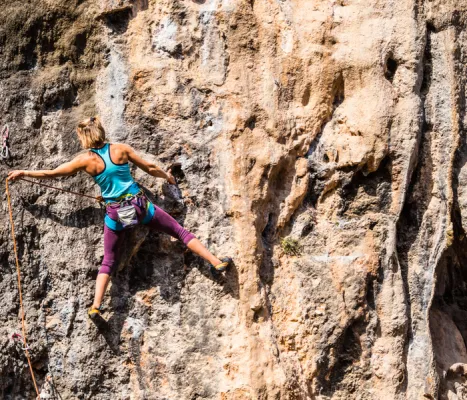
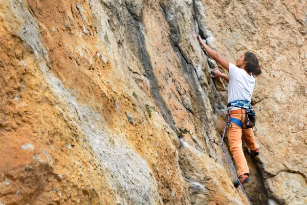
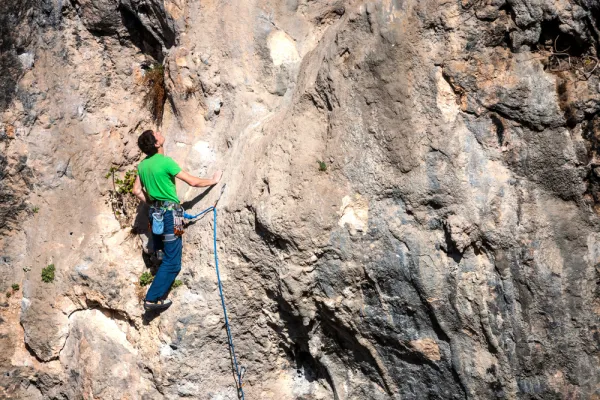
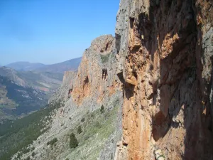
It has excellent routes, both artificial and free. It's a huge cliff over the stream. Still, among the places of classics of Andalusia would occupy a place on the podium. The limestone tapes are very vertical, and given their large length they require much continuity. They're resistance pathways. The average height is 150 meters. The maximum height is 220 meters. The scale is very technical and most insurance and meetings have to be installed with emitters or similar.
Datos de la ruta
ROUTE NAME
Tajos de las Alcandoras
TRAIL TYPE
--
DIFFICULTY
--
TOTAL DISTANCE (IN KILOMETERS) --
-
Stretch of asphalt or concrete:
-
Section of track, forest road, or dry watercourse:
-
Trail section:
-
Sections of livestock trails:
HUSO 30S
30S x = 436813 and = 4167991
ESTIMATED TRAVEL TIME
ROAD SURFACE TYPE
Road
--
--
DIFFICULTY. RATING ACCORDING TO THE MIDE METHOD
--
MEANS
Severity of the natural environment
--
ITINERARY
Route guidance
--
DISPLACEMENT
Difficulty moving about
--
EFFORT
Amount of effort required
ACCESSIBILITY TYPE
TIME OF YEAR
Spring and autumn
SIGNALING
No
MORE INFORMATION
TUNNELS
STEEL VIADUCTS
METAL WALKWAYS
WATER POINTS
PONTOONS
GUARD BOOTHS AND BARRIERS
SWITCHMAN'S CABINS
CYCLABILITY
RECREATIONAL OR SPORTS AREAS NEAR THE TRAIL
AID STATIONS
LINKS TO OTHER TRAILS
SHELTERS
RECOMMENDATIONS
OTHER INFORMATION OF INTEREST (ARCHITECTURAL OR HISTORICAL-CULTURAL, GEOLOGICAL-ECOLOGICAL)
Number of routes:45
You're up to V:30%
Votes from V + to 6c +:60%
Vies from 7a to 7c +:10%
Eight-way:0%
Technical Description
Best time:From autumn to spring
Where to drink. -On the meringers on the access road.
Information and books. -Revista Desnivel No. 93
Notes and warnings. -Do not obstruct the passage when parking.
How to get there. -From the recreational area of Otiñar, take the track and then the road that leads us to the area.