Ascensiones a la Peña de Jaén and Tajos de la Mella
Description
To ascend to the Peña de Jaén, without a doubt the most spectacular peak of these saws, it is best to do so on the northern side.
Datos de la ruta
ROUTE NAME
Ascensiones a la Peña de Jaén y Tajos de la Mella
TRAIL TYPE
--
DIFFICULTY
--
TOTAL DISTANCE (IN KILOMETERS) --
-
Stretch of asphalt or concrete:
-
Section of track, forest road, or dry watercourse:
-
Trail section:
-
Sections of livestock trails:
HUSO 30S
ESTIMATED TRAVEL TIME
ROAD SURFACE TYPE
Trail
--
--
DIFFICULTY. RATING ACCORDING TO THE MIDE METHOD
--
MEANS
Severity of the natural environment
--
ITINERARY
Route guidance
--
DISPLACEMENT
Difficulty moving about
--
EFFORT
Amount of effort required
ACCESSIBILITY TYPE
TIME OF YEAR
SIGNALING
No
MORE INFORMATION
TUNNELS
STEEL VIADUCTS
METAL WALKWAYS
WATER POINTS
PONTOONS
GUARD BOOTHS AND BARRIERS
SWITCHMAN'S CABINS
CYCLABILITY
RECREATIONAL OR SPORTS AREAS NEAR THE TRAIL
AID STATIONS
LINKS TO OTHER TRAILS
SHELTERS
RECOMMENDATIONS
OTHER INFORMATION OF INTEREST (ARCHITECTURAL OR HISTORICAL-CULTURAL, GEOLOGICAL-ECOLOGICAL)
Approximate distance: 5.5 Km
Difficulty: Low to the hill and medium-high along the ridge.
Estimated time: 2 hours
Technical Description
If we decide to ascend to the Peña de Jaén, to our left, we will take a path of goats that leads us to the ridge on the southern slope and that is quickly lost between the steep and sharp limestone skulls that make up the entire high area of this mountain. We will have to continue through this rocky terrain, trying to get close to the crest line and looking for the most appropriate steps, so the ascension is quite difficult. After 30 minutes we will be in one of the "peinets," as the mountaineers call these summits, on impressive cuts that fall lead to the North. Few cities count in their surroundings
immediate with a look as majestic as the one that offers us this emblematic rock.
The descent we can do on the opposite side by letting us fall down to the hill that forms the two combs and catch a sidewalk that descends at first with quite a slope between the slices, on a seemingly inaccessible terrain, and then turns left, bordering the mountain below the cliffs. It will lead us to the roof of the abrevadero.
If we decide to ascend to the Tajos de la Mella and "crest them" we will have to take from the same hill a sidewalk that goes up to the right and that, through a small climb, allows us to place ourselves in the ridge line. The path is broken down and will have to continue, as in the case of the Peña de Jaén, very carefully, above the rocks, trying not to distance us from the ridge, but paying attention to the cliff, as we walk above slices of up to 70 and 80 meters. It is worth it, however, for the views that we will enjoy all the way. We will continue to the highest part (1245 m) and once the mountain has finished to come down on the West side to find an accessible step. We will go out near a stone shelter and from there we will take the road that descends us to the city.
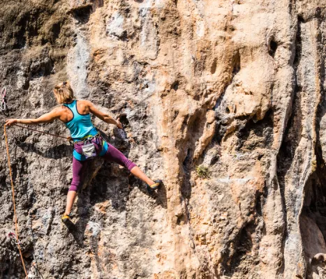
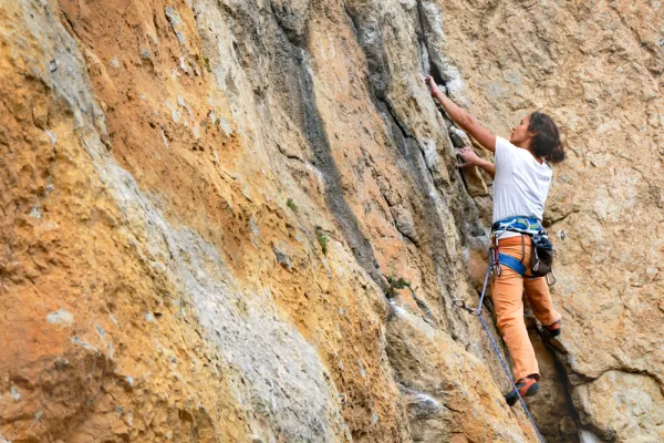
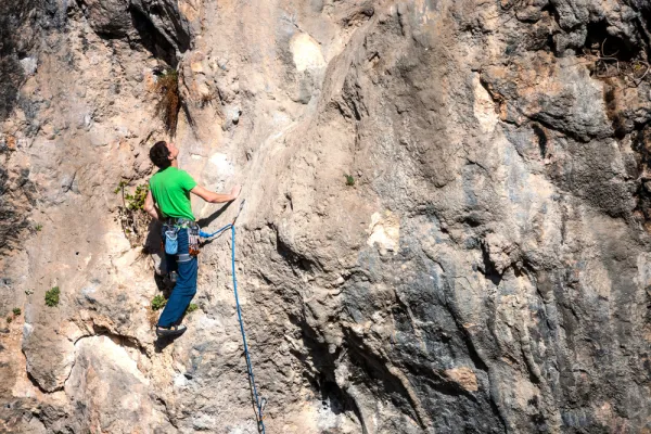
From the roof we can also go through the lower sides, following some of the animal paths that go up parallel to them. This option presents less difficulty and may be interesting for those who go for climbing routes. Throughout more than 1 km of rock walls we will find a lot of them. It is a true paradise for climbers just a few minutes from the city.