

Mingo
Description
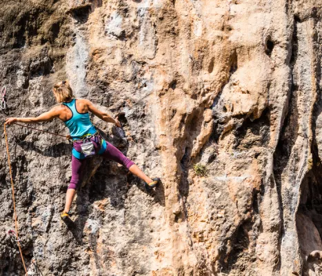
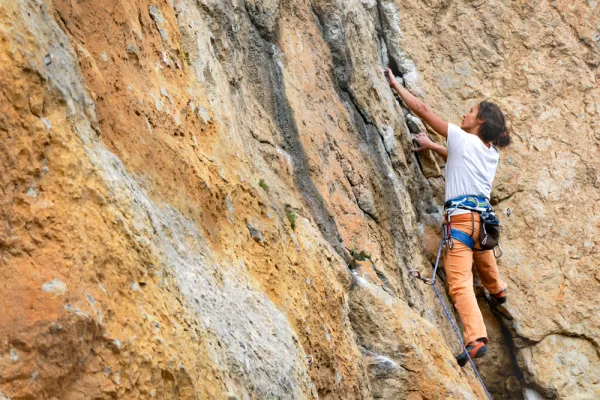
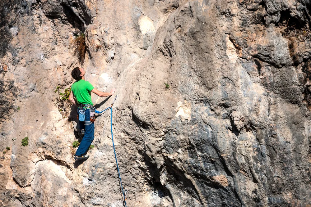
The area is of high quality landscape. It is a classic wall par excellence in which the sports sector known as the Inkilino has recently been equipped. It has a long approach, good possibilities and for the moment few routes. In this area there are alternating paths of sports climbing and classical climbing. Some routes require an explosive escalation, especially in the extrusions. The anchorages we found are reliable. The average height is 15 meters. The maximum height is 25 meters.
Datos de la ruta
ROUTE NAME
Mingo
TRAIL TYPE
--
DIFFICULTY
--
TOTAL DISTANCE (IN KILOMETERS) --
-
Stretch of asphalt or concrete:
-
Section of track, forest road, or dry watercourse:
-
Trail section:
-
Sections of livestock trails:
HUSO 30S
30S x = 430339 and = 4180001
ESTIMATED TRAVEL TIME
ROAD SURFACE TYPE
Trail
--
--
DIFFICULTY. RATING ACCORDING TO THE MIDE METHOD
--
MEANS
Severity of the natural environment
--
ITINERARY
Route guidance
--
DISPLACEMENT
Difficulty moving about
--
EFFORT
Amount of effort required
ACCESSIBILITY TYPE
TIME OF YEAR
SIGNALING
No
MORE INFORMATION
TUNNELS
STEEL VIADUCTS
METAL WALKWAYS
WATER POINTS
PONTOONS
GUARD BOOTHS AND BARRIERS
SWITCHMAN'S CABINS
CYCLABILITY
RECREATIONAL OR SPORTS AREAS NEAR THE TRAIL
AID STATIONS
LINKS TO OTHER TRAILS
SHELTERS
RECOMMENDATIONS
OTHER INFORMATION OF INTEREST (ARCHITECTURAL OR HISTORICAL-CULTURAL, GEOLOGICAL-ECOLOGICAL)
Number of routes:4
You're up to V:0%
Votes from V + to 6c +:0%
Vies from 7a to 7c +:90%
Eight-way:0%
Best time:From spring to autumn
Where to drink. -There's no water in the vicinity.
Technical Description
How to get there. -7 km from Jaén capital. Access is a little complicated. Take the road that leads to Puente de la Sierra; after passing a small urbanization of shawls, 50 meters from the kilometric milestone take the asphalt deviation that comes to the right. Continue without diverting to a point where it is fork in two, then take the right track and reach a chain that prevents us from passing. From here we have to continue to an old cortijo where the road is over. Taking as reference the walls of the Mingo (another area) in front of us, continue to the right on a low marked road that leads us to the Canjorro.
Right at the entrance of this popular school, it comes down first by the olive grove and then through a vaguada, until it comes, about 10 minutes later, following a little marked path, to the river, right in front of one of the most spectacular walls. We cross the river and to the left we take a smooth upward path that leads five minutes to the Inkilino sector. To reach other sectors you have to continue along this path to a wire, and to the right, in the direction of the larger sectors.