

Peñas de Castro and Monte del Canjorro
Description
The approach will always be by vehicle, from the city of Jaén. There are two options. For its eastern part, taking the road to the Sierra Bridge, in the Km 2.5 three hundred meters after the restaurant Casería de Cristóbal, take a particular road (Pedro Coes lane) with strong slope to the right that borders the Peñas, taking a track to the right paved cement that reaches its base. On the western side, from the Villares road to the Portichuelo (Km 4). This latter possibility will allow us a more comfortable ascent to the rocks, as we must overcome less height. We can leave the vehicle next to the El Mirador Restaurant, shortly before arriving at the port.
Datos de la ruta
ROUTE NAME
Peñas de Castro y Monte del Canjorro
TRAIL TYPE
--
DIFFICULTY
--
TOTAL DISTANCE (IN KILOMETERS) --
-
Stretch of asphalt or concrete:
-
Section of track, forest road, or dry watercourse:
-
Trail section:
-
Sections of livestock trails:
HUSO 30S
ESTIMATED TRAVEL TIME
ROAD SURFACE TYPE
Road
--
--
DIFFICULTY. RATING ACCORDING TO THE MIDE METHOD
--
MEANS
Severity of the natural environment
--
ITINERARY
Route guidance
--
DISPLACEMENT
Difficulty moving about
--
EFFORT
Amount of effort required
ACCESSIBILITY TYPE
TIME OF YEAR
SIGNALING
No
MORE INFORMATION
TUNNELS
STEEL VIADUCTS
METAL WALKWAYS
WATER POINTS
PONTOONS
GUARD BOOTHS AND BARRIERS
SWITCHMAN'S CABINS
CYCLABILITY
RECREATIONAL OR SPORTS AREAS NEAR THE TRAIL
AID STATIONS
LINKS TO OTHER TRAILS
SHELTERS
RECOMMENDATIONS
OTHER INFORMATION OF INTEREST (ARCHITECTURAL OR HISTORICAL-CULTURAL, GEOLOGICAL-ECOLOGICAL)
Approximate distance: 8 Km (one-way only)
Difficulty: Low. High on the ascent to the Peña.
Technical Description
A hundred meters past the restaurant we take a lane to the left that after passing by a house leads us to the lordory Casería del Portichuelo, located just at the foot of the hill that make up the two rocks that form the picturesque rocky set. We go up through the olive grove to the hill (840 meters) from which we see the other side of the rocks towards the payment of Pedro Coes and the valley that forms the Jaén River.
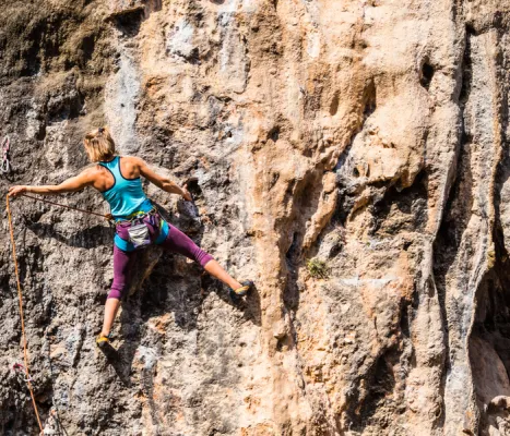
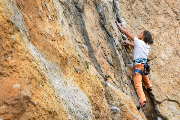
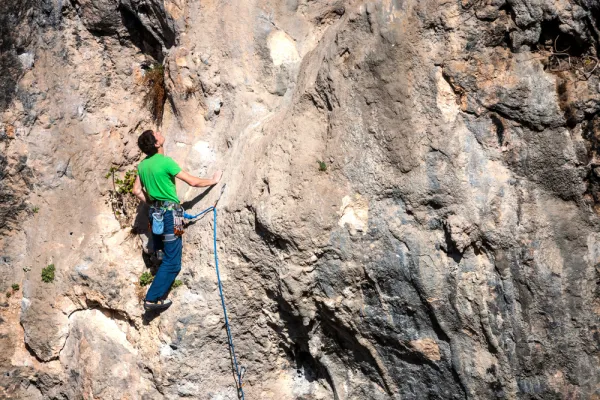
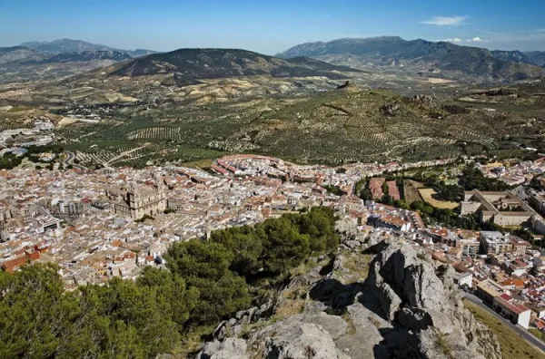
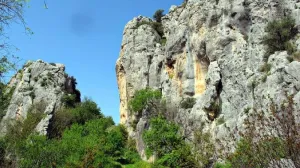
If we want to try to ascend to the pointed major summit of the Peñas, we will look on the hill for a sidewalk that we will take to the left towards the north rock. The sidewalk passes over the pine tree that falls between the two rocks and borders the rocky wall. In this area there are a lot of climbing pathways and in a fracture on the wall a cave (Secret Cave) in which there are anthropomorphic rock paintings (some up to 65 cm). After crossing an area of mountain and crossing a wire of cattle, it flows into a small, straight meadow surrounded by pine and olive trees. To the right of that meadow, semi-hidden between the weeds, it begins to climb towards the ridge. From here the ascension begins that becomes quite difficult, as the line of crest is very pending and we will find ourselves with complicated swamps. We will have to be careful with the rocky abyss that are forming on our right: in about twenty minutes we will be at the top of this unique mountain. There are remains of an Arab turret in it. Here we will enjoy one of the best panoramic views of the region of Jaén, as we are right in the geographical center of it, in a pettic atalaya 945 meters high and without any obstacle to the view.
From the hill we have another less risky option: to go down to the other side by reference to the ruins of a medieval turret, a little further down to the cortijo of Pedro el Cruel. After a mile we will be in the cortijo, behind which a path that leads us in twenty minutes to Mount Canjorro, the final foothold of the Peñas de Castro. It is an interesting climbing area, with abundant caves, from which you can see the setting of the river from above and the valley of Los Villares.