







Bedmar – Jódar – Paraje Natural Alto Guadalquivir - Úbeda – Baeza (C8)
Description
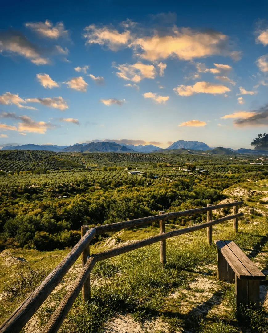
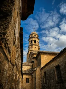
The Itinerary of almost 80 km that links the Guadalquivir valley with the plains of La Loma, connecting Jódar, Ubeda and Baeza on local roads and bike lanes. The tour crosses the Puente de Ubeda la Vieja, looks at the Mirador de Itiraka, offers the detour to the Laguna de la Herradura and ascends to the Renaissance cities of Ubeda and Baeza before returning to the Puente de Mazuecos and the Cerro de Fique.
Is part of

Datos de la ruta
ROUTE NAME
Bedmar – Jódar – Paraje Natural Alto Guadalquivir - Úbeda – Baeza (C8)
TRAIL TYPE
--
DIFFICULTY
Baja - Media
TOTAL DISTANCE (IN KILOMETERS) 86,7 km
-
Stretch of asphalt or concrete:
-
Section of track, forest road, or dry watercourse:
-
Trail section:
-
Sections of livestock trails:
HUSO 30S
ESTIMATED TRAVEL TIME
ROAD SURFACE TYPE
Road
MAXIMUM ELEVATION CHANGE 1363mm
--
--
DIFFICULTY. RATING ACCORDING TO THE MIDE METHOD
--
MEANS
Severity of the natural environment
--
ITINERARY
Route guidance
--
DISPLACEMENT
Difficulty moving about
--
EFFORT
Amount of effort required
ACCESSIBILITY TYPE
TIME OF YEAR
SIGNALING
Sí
MORE INFORMATION
TUNNELS
STEEL VIADUCTS
METAL WALKWAYS
WATER POINTS
PONTOONS
GUARD BOOTHS AND BARRIERS
SWITCHMAN'S CABINS
CYCLABILITY
RECREATIONAL OR SPORTS AREAS NEAR THE TRAIL
AID STATIONS
LINKS TO OTHER TRAILS
SHELTERS
RECOMMENDATIONS
OTHER INFORMATION OF INTEREST (ARCHITECTURAL OR HISTORICAL-CULTURAL, GEOLOGICAL-ECOLOGICAL)
Technical Description
A circuit of about 80 km that connects Bedmar with Jódar, Alto Guadalquivir and the Renaissance cities of Ubeda and Baeza, before returning to the starting point. The itinerary combines local roads, agricultural roads and bici lanes, with moderate ascends, a firm majority asphalt and a clear reading of the territory: river valley, olive countryside and historical heritage. It is a varied and very complete proposal, ideal for road cycling and light gravel. The route begins in Bedmar, heading north on the JV-3032 between olive groves, with early views of the Serrezuela de Bedmar and the Sierra Magina summits. The passage through the Lavadero de Bedmar recalls the historic relationship of the municipality with the water before leaving the asphalt to take compact tracks towards Salmerón and the Lavaderos de la Fuente Garciez, a good place to make a first stop. The entrance to Jódar marks the transit to the Guadalquivir valley. After crossing the urban centre, the route is heading east, alternating agricultural roads and road sections to reach the vicinity of the river. The crossing of the Puente de Ubeda la Vieja is one of the main points of the tour: here the Guadalquivir appears as the central axis of the landscape, accompanied by the view of Iltiraka and the ruins of Ubeda la Vieja, which provide a historical dimension to the itinerary. Very close, the detour to the Laguna de la Herradura allows you to discover a small wet area of great environmental value. From the valley, the tour gradually gains height in the direction of Ubeda, crossing the La Loma countryside, an infinite sea of olive groves on soft wavy hills. The arrival in this city, declared World Heritage, invites a longer stop to discover its historic centre and to regain strength. The route continues to Baeza by a bike lane parallel to the A-316, a comfortable and secure stretch that connects two of the most important Renaissance assemblies of Andalusia. After leaving Baeza behind, the tour is back towards the south, crossing the Guadalquivir along the Mazuecos bridge, a masterpiece of Renaissance engineering, and returning to the Bedmar Valley. The final part is between olive groves and small runoff barrels, with the possibility of a brief detour to the Cerro de Fique to enjoy a wider view of the Serrezuela and the mountain alignations of Sierra Magina. The return to Bedmar ends a long but balanced route, in which river landscape, countryside and urban heritage occur in a harmonious way. General recommendations Road and gravel bike-suitable route, with considerable mileage that requires good schedule planning and avitualations (Jódar, Ubeda and Baeza are key points for this). In summer it is recommended to avoid the central hours of the day due to the shortage of shade in the countryside. Pay attention to the crossings with communal roads and always respect the signposted route, especially in the river and agricultural areas.


