
Stage Moclín - Alcalá la Real
Description
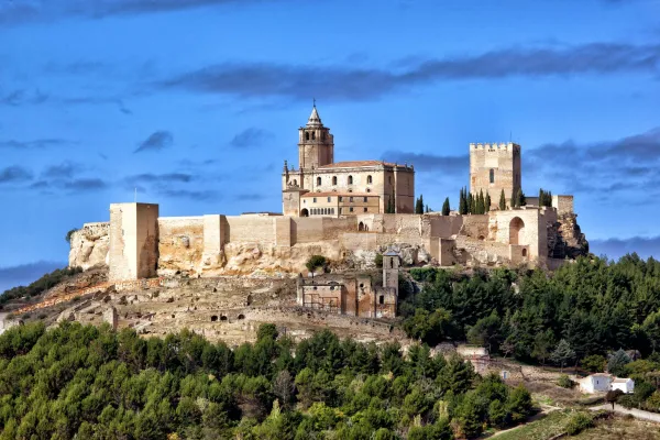
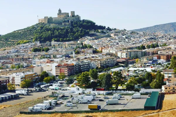
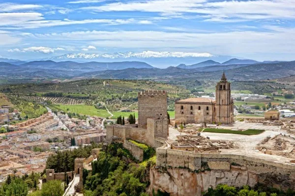
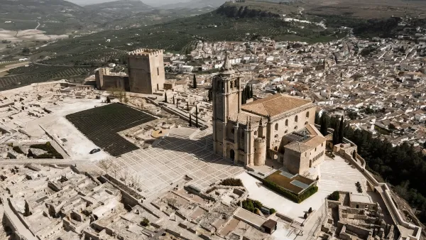
At this stage is the continuation of the Mozário Road of Granada, so that we will leave the granadine lands and enter the province of Jaén, with its landscape of endless extensions of olive trees. We will finish the day in Alcalá la Real, capital of the Sierra Sur region, located under a great fortress worth visiting.
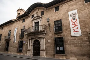
On the street Real and the street Estas we will leave Moclin, passing by the Center of Commercial Interpretation, we go down about 700 m and we arrive at the Fuente de Malalto. At this point we left the asphalt and continued on a dirt lane leading to the road. We will turn left, extreme the caution during the 2 km tour before linking with the N-432, take a short path behind a house and cross the N-432 with caution.
When we cross, we take the royal canyon "Cordel de la Gallina." We ascend 400 m to the "Coto de los Pedernales." We're still on a lane until we get to a milestone. We must continue among the olive trees but the closest to a barranquera left to us, reaching a new lane we will follow to the left, and after a rise we will link with a particular road by accessing the cortijo "Cañada Alta."
We will continue to the right, we will return to the N-432, next to the San Antonio Oil Cooperative, we will continue to the left argon for 1 km, (HAY THAT I BE PRUDENT IN THIS KILOMETRO OF ARCEN), to turn left on a road that leads to Cequia, then to Pilillas and then to Ermita Nueva, we leave the village descending and straight, crossing the Palanaches stream, we continue on the Paseo de los Almondrales arriving to the N-432.
We get to some ships, it's the place to cross the N-432 with extreme care, once in the other arson we get diverted on a road to the right. Then when we reach a fork we will choose to the left, we will cross an old cortijo and at the next new fork we will also choose to the left, the lane will take us to cross a tunnel under a road, just after leaving the tunnel a lane to the right for bicycles and walkers will take us to a new crossing where a milestone points to the left. By going up the lane and across some vineyards we will arrive after passing a roundabout to the entrance on a path to the city. We will leave the bus station to the left and a long avenue will leave us in the park, city center.
Datos de la ruta
ROUTE NAME
Etapa Moclín - Alcalá la Real
TRAIL TYPE
--
DIFFICULTY
Moderada
TOTAL DISTANCE (IN KILOMETERS) 22,47 km
-
Stretch of asphalt or concrete:
-
Section of track, forest road, or dry watercourse:
-
Trail section:
-
Sections of livestock trails:
HUSO 30S
ESTIMATED TRAVEL TIME
ROAD SURFACE TYPE
Road
ELEVATION CHANGE
1000mm
755mm
DIFFICULTY. RATING ACCORDING TO THE MIDE METHOD
--
MEANS
Severity of the natural environment
--
ITINERARY
Route guidance
--
DISPLACEMENT
Difficulty moving about
--
EFFORT
Amount of effort required
ACCESSIBILITY TYPE
TIME OF YEAR
SIGNALING
No
PERFIL DE ALTURAS

MORE INFORMATION
TUNNELS
STEEL VIADUCTS
METAL WALKWAYS
WATER POINTS
PONTOONS
GUARD BOOTHS AND BARRIERS
SWITCHMAN'S CABINS
CYCLABILITY
RECREATIONAL OR SPORTS AREAS NEAR THE TRAIL
AID STATIONS
LINKS TO OTHER TRAILS
SHELTERS
RECOMMENDATIONS
OTHER INFORMATION OF INTEREST (ARCHITECTURAL OR HISTORICAL-CULTURAL, GEOLOGICAL-ECOLOGICAL)