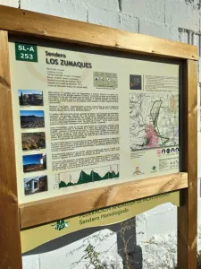
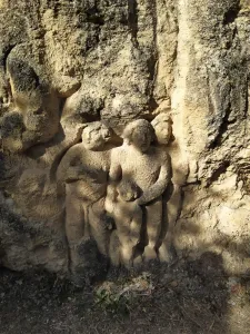
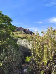

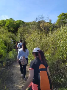




Route de Los Zumaques
Description
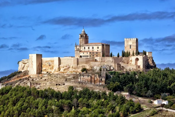
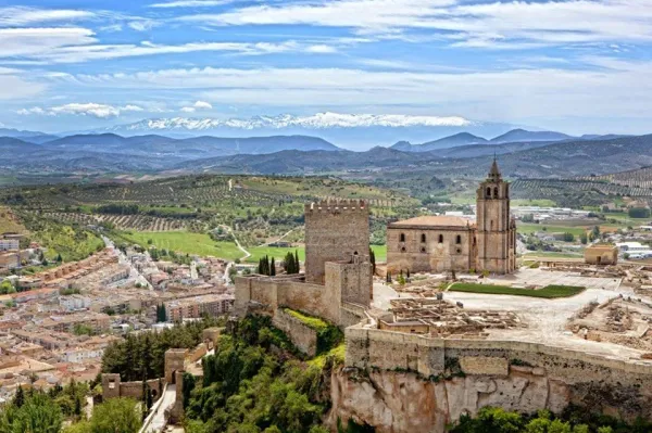
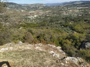
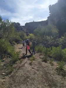
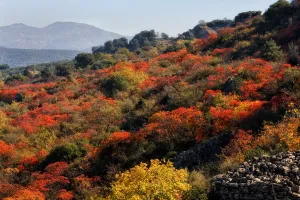
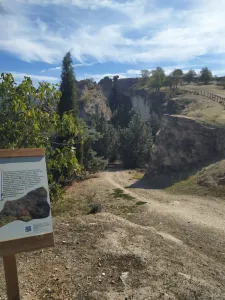
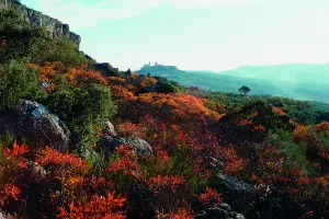
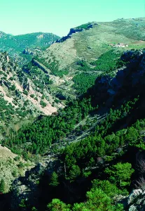
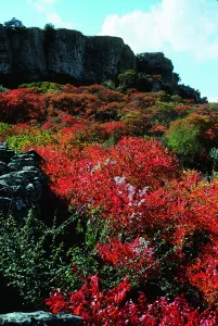
This path, approved by the National Mountain Federation, runs along the emblematic Zumaques route. Through canyons and trails you will enjoy "Los Tajos," impressive rocky cuts under which natural vegetation is preserved as a sample of what at one time were the Mediterranean forests of the southern Iberian Peninsula. This vegetation is an example of the zumala, this autumn plant, which takes a reddish tone that will fall in love with you. All this with wonderful views of the Fortress of the Mota. An impressive place to enjoy the sunset.
Datos de la ruta
ROUTE NAME
Ruta de Los Zumaques
TRAIL TYPE
--
DIFFICULTY
--
TOTAL DISTANCE (IN KILOMETERS) --
-
Stretch of asphalt or concrete:
-
Section of track, forest road, or dry watercourse:
-
Trail section:
-
Sections of livestock trails:
HUSO 30S
30S x = 418197 and = 4146716
ESTIMATED TRAVEL TIME
ROAD SURFACE TYPE
--
--
DIFFICULTY. RATING ACCORDING TO THE MIDE METHOD
--
MEANS
Severity of the natural environment
--
ITINERARY
Route guidance
--
DISPLACEMENT
Difficulty moving about
--
EFFORT
Amount of effort required
ACCESSIBILITY TYPE
TIME OF YEAR
All year round
SIGNALING
No
MORE INFORMATION
TUNNELS
STEEL VIADUCTS
METAL WALKWAYS
WATER POINTS
PONTOONS
GUARD BOOTHS AND BARRIERS
SWITCHMAN'S CABINS
CYCLABILITY
RECREATIONAL OR SPORTS AREAS NEAR THE TRAIL
AID STATIONS
LINKS TO OTHER TRAILS
SHELTERS
RECOMMENDATIONS
OTHER INFORMATION OF INTEREST (ARCHITECTURAL OR HISTORICAL-CULTURAL, GEOLOGICAL-ECOLOGICAL)
Technical Description
SLA-253 The Zumaques Path (9.4 km).