
Route del Aceite (Segunda jornada: de Las Casillas a Alcalá la Real)
Datos de la ruta
ROUTE NAME
Ruta del Aceite (Segunda jornada: de Las Casillas a Alcalá la Real)
TRAIL TYPE
--
DIFFICULTY
Alta
TOTAL DISTANCE (IN KILOMETERS) 38 km
-
Stretch of asphalt or concrete: --
-
Section of track, forest road, or dry watercourse: --
-
Trail section: --
-
Sections of livestock trails: --
HUSO 30S
ESTIMATED TRAVEL TIME
2 h 30 min
ROAD SURFACE TYPE
Road
ELEVATION CHANGE
805mm
805mm
DIFFICULTY. RATING ACCORDING TO THE MIDE METHOD
--
MEANS
Severity of the natural environment
--
ITINERARY
Route guidance
--
DISPLACEMENT
Difficulty moving about
--
EFFORT
Amount of effort required
ACCESSIBILITY TYPE
TIME OF YEAR
All year round
SIGNALING
No
MORE INFORMATION
TUNNELS
STEEL VIADUCTS
METAL WALKWAYS
WATER POINTS
PONTOONS
GUARD BOOTHS AND BARRIERS
SWITCHMAN'S CABINS
CYCLABILITY
RECREATIONAL OR SPORTS AREAS NEAR THE TRAIL
AID STATIONS
LINKS TO OTHER TRAILS
SHELTERS
RECOMMENDATIONS
The stage, although a little long, is very varied. It has an asphalt ascension, followed by a descent and then comes a practically flat stretch that ends in a strong rise. In times of rain certain difficulties may arise by having to wade the Guadalcoton stream four times.
OTHER INFORMATION OF INTEREST (ARCHITECTURAL OR HISTORICAL-CULTURAL, GEOLOGICAL-ECOLOGICAL)
Technical Description
The first part of the day runs along the road from the Vado del Fresno to the Achillos saw. The route leaves the asphalt track before the hill, past the kilometer pillar 16 (km. 9.3). The lantern of earth is attached to a pecuary path, the laundry of Fountain Mateo to Martos. Many crosses and bifurcations come to pass, but none of them offer any doubt as they are marked. At first, constant ups and downs occur, but soon the definitive descent to the Carrizal Sales begins. It is then passed next to the bathroom cortijo (km. 13,9), famous for the sulfurated waters that were flushing there. Later on a mountain known as Encina Hermosa is surrounded, where remains of an important Ibero-Roman enclosure remain.
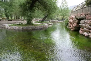
Shortly before reaching the Vega, the lane that approaches one of the watchtowers that adorn the area is left to the right. Just before the bridge over the San Juan River the itinerary turns left and, along several kilometres, it walks the Vega of the river, along with the route of the Caliphate del Legado Andalusí. At the foot of Castillo de Locubín, the route is diverted (km. 23.1) to continue along the right bank of the river. After a short stretch by road, he takes the direction of El Nacimiento, where a handful of water-nurturing developments all over the valley. After the recreational area, the road fits between the chimallions of the Guadalcoton, and after repeated wadeos the climb to Charilla is undertaken.
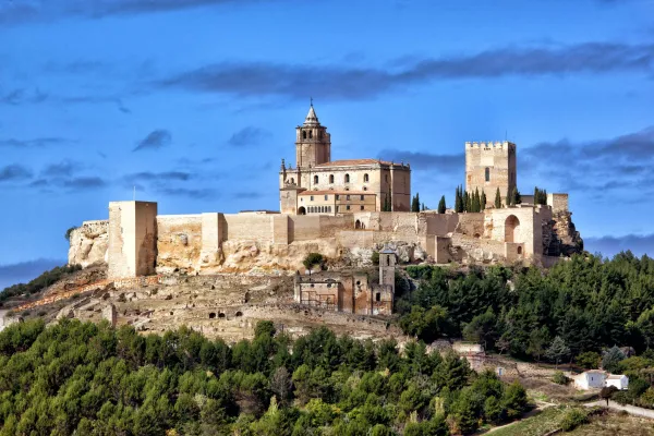
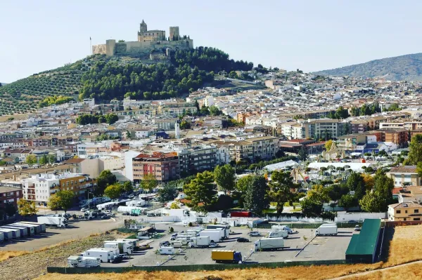
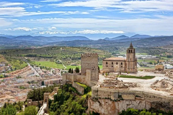
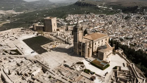
Once the city centre has its strength, the route is moved to the left by a lane (km. 34) that borders the slopes of the Loma de San Marcos, ending at the doors of Alcalá la Real. During the two centuries of the Christian siege of the Nazi kingdom, these border lands served as a platform for harassment and skirmishes. Strongholds were raised in the villages, and in their strategic hills a whole chain of watchtowers or simple watchtowers that, as a way of advancing, were watching the enemy's movements. Along the wide-range of the San Juan River, up to 4 towers are counted; although some miraculously whole, they all retain the quiet serenity of those who have seen centuries of history. Anyone who is encouraged to approach his feet will have the opportunity to loot the same horizons, now covered with olive trees.