

Stage Alcalá la Real - Alcaudete
Description
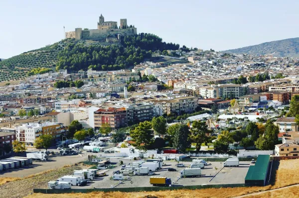
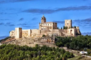
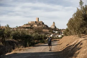
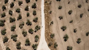
A pleasant stage, with a wavy profile but with no large slopes, which runs mostly on land roads between olive groves. In the equator of the same is Ventes del Carrizal, only intermediate town that has some service. We will end the day in the historic village of Alcaudete, which, as usual in these border lands, grew around the walls of its medieval castle, whose silhouette dominates the landscape.
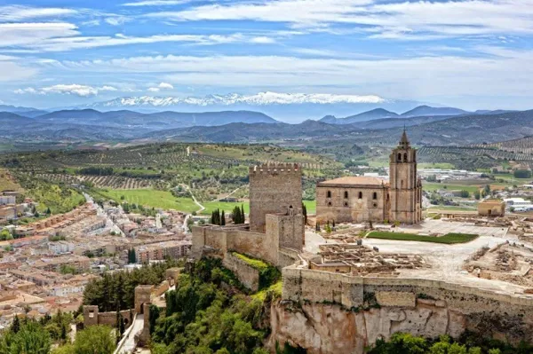
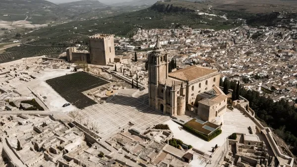
It is part of the Plaza Pablo de Rojas de Alcalá la Real, we pass through Palacio Abacial (Point of Information to the pilgrim), continuing through the race of the Mercedes, to the street Tejuela. We leave the City of Mota on the street Camino Nuevo to link with the "Cordel de Córdoba a Guadix." At 1.5 km we find a small medieval bridge that crosses a stream and follows the old road, by which after 3 km we will reach the village of Puertollano.
We continue the "Vereda de Granada" parallel to the right of the N-432. We follow that path almost 4 km., we will find an underground passage, on a stream with pinets to cross it in times of rain, which allows us to cross the road to its left and follow the path until we reach Sales del Carrizal to which we enter by crossing a light. The Social Services Centre is an information point. We go down La Fuente Street and go down to the San Juan River, cross the bridge and turn immediately to the left, to follow the "Cañada Real de Fuente Amuña."
We continue in front of Alcaudete, we enter through Fountain Amuña. We go down the asphalt street about 600 m., we turn left and we reach the Sanctuary of La Fuensanta, we go down the park and we go left, on the roundabout we ascend right through the Avd. of Andalusia, to the City Hall Square.
In the town of Alcaudete there is a pilgrimage hostel on the Camino de Santa Catalina, where you can stay and take a well-deserved break to enjoy this wonderful municipality, with a wide variety of leisure and cultural services.
Datos de la ruta
ROUTE NAME
Etapa Alcalá la Real - Alcaudete
TRAIL TYPE
--
DIFFICULTY
Moderada
TOTAL DISTANCE (IN KILOMETERS) 23,3 km
-
Stretch of asphalt or concrete: --
-
Section of track, forest road, or dry watercourse: --
-
Trail section: --
-
Sections of livestock trails: --
HUSO 30S
ESTIMATED TRAVEL TIME
ROAD SURFACE TYPE
Road
ELEVATION CHANGE
900mm
500mm
DIFFICULTY. RATING ACCORDING TO THE MIDE METHOD
--
MEANS
Severity of the natural environment
--
ITINERARY
Route guidance
--
DISPLACEMENT
Difficulty moving about
--
EFFORT
Amount of effort required
ACCESSIBILITY TYPE
TIME OF YEAR
SIGNALING
No
PERFIL DE ALTURAS

MORE INFORMATION
TUNNELS
STEEL VIADUCTS
METAL WALKWAYS
WATER POINTS
PONTOONS
GUARD BOOTHS AND BARRIERS
SWITCHMAN'S CABINS
CYCLABILITY
RECREATIONAL OR SPORTS AREAS NEAR THE TRAIL
AID STATIONS
LINKS TO OTHER TRAILS
SHELTERS
RECOMMENDATIONS
OTHER INFORMATION OF INTEREST (ARCHITECTURAL OR HISTORICAL-CULTURAL, GEOLOGICAL-ECOLOGICAL)