Route de los Miradores
Datos de la ruta
ROUTE NAME
Ruta de los Miradores
TRAIL TYPE
--
DIFFICULTY
Baja
TOTAL DISTANCE (IN KILOMETERS) 15 km
-
Stretch of asphalt or concrete:
-
Section of track, forest road, or dry watercourse:
-
Trail section:
-
Sections of livestock trails:
HUSO 30S
ESTIMATED TRAVEL TIME
ROAD SURFACE TYPE
Forest track
ELEVATION CHANGE
350mm
350mm
DIFFICULTY. RATING ACCORDING TO THE MIDE METHOD
--
MEANS
Severity of the natural environment
--
ITINERARY
Route guidance
--
DISPLACEMENT
Difficulty moving about
--
EFFORT
Amount of effort required
ACCESSIBILITY TYPE
TIME OF YEAR
All year round
SIGNALING
No
MORE INFORMATION
TUNNELS
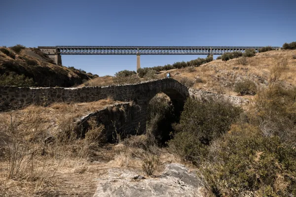
STEEL VIADUCTS
METAL WALKWAYS
WATER POINTS
PONTOONS
GUARD BOOTHS AND BARRIERS
SWITCHMAN'S CABINS
CYCLABILITY
RECREATIONAL OR SPORTS AREAS NEAR THE TRAIL
AID STATIONS
LINKS TO OTHER TRAILS
SHELTERS
RECOMMENDATIONS
The tour is easy, short and without complications. It has a long asphalt rise that hardens on the forest road and ends with a smooth, tiled down with short reels. Any time of year is good, but the clean winter skies are more than advisable to enjoy the beautiful panoramic. Do not forget to supply yourself with water in the Amuña fountain.
OTHER INFORMATION OF INTEREST (ARCHITECTURAL OR HISTORICAL-CULTURAL, GEOLOGICAL-ECOLOGICAL)
Technical Description
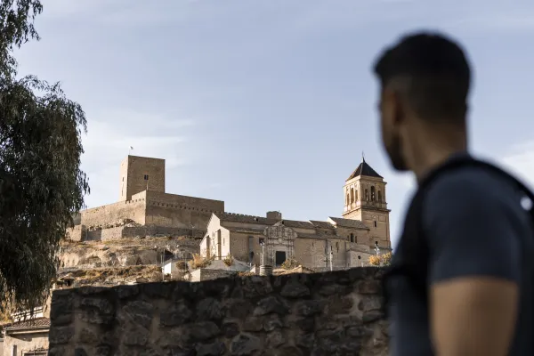
The tour starts from the road crossing to Las Casillas and Villar Bajo with the road to the Amuña Fountain. Located a mile from the city centre. By the asphalt of the region, which is used to supporting little traffic, the rise of the Achillos saw begins. As you gain height, the panorama unfolds. Behind the back is Alcaudete with his imposing fortress and the monotonous olive countryside is seen in front. Before coronating the neckline and at the end of a metal fence, the road is left to the right (km. 6.7) by a forest road parallel to the fenced. At this point there is a drinking water source located in a ravine.
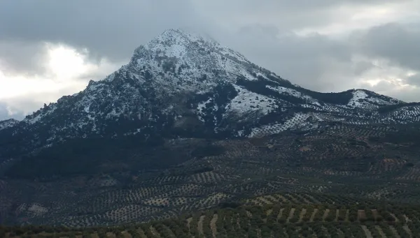
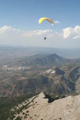
It is raised through a pine to a high and crossroads (km. 7.7). The bicycles continue in a slight descent to surround the Achillos saw. The magnificent views that will accompany during this stretch begin to unfold: the mountains of La Pandera and the Alta Coloma, to the south La Parapanda, are seen not unnoticed and, as a backdrop to these mountainous horizons, the white summits of Sierra Nevada. Below, the pine forest gives way to the olive tree that will already be constant to the end. Two lanes are left to the right, although the latter can be used as a shortcut. The route continues ahead and soon after it reaches a crossing (km. 11.8).
On the right hand side it saves a ravine and immediately after it starts to rise and then reaches the Vizcalmon mold. In this place the final down to Alcaudete is started, which is already seen between the edges of the olive trees. A traffic-free region, a forest track between pine trees and a rural road allow you to explore the contours of this sharp saw manly and enjoy your best prospects. From the beginning, the first views are revealed: a poniente is stretched the countryside to the hateful profile the cordobese subbetic. On the opposite side the landscape is collided between the pines and it is possible to recognize each of the picachos of the South Sierra: from the naked hills of the Alto de la Pandera to the docile top of La Martina, passing through the distant and repulsive Sierra Nevada. Already down, a little collar gives the keys to the last panoramic over Alcaudete.