Route de la Sierra de los Ahillos
Description
The Sierra de Achillos is a small mountain formation integrated in the Sierra Sur de Jaén. This is an interesting example of an interior Mediterranean mountain, with a natural forest landscape and olive crops, splattered with cords and isolated villages.
Datos de la ruta
ROUTE NAME
Ruta de la Sierra de los Ahillos
TRAIL TYPE
--
DIFFICULTY
Media
TOTAL DISTANCE (IN KILOMETERS) 30,6 km
-
Stretch of asphalt or concrete: --
-
Section of track, forest road, or dry watercourse: --
-
Trail section: --
-
Sections of livestock trails: --
HUSO 30S
ESTIMATED TRAVEL TIME
4 h 53 min
ROAD SURFACE TYPE
Road
ELEVATION CHANGE
927mm
927mm
DIFFICULTY. RATING ACCORDING TO THE MIDE METHOD
--
MEANS
Severity of the natural environment
--
ITINERARY
Route guidance
--
DISPLACEMENT
Difficulty moving about
--
EFFORT
Amount of effort required
ACCESSIBILITY TYPE
TIME OF YEAR
All year round
SIGNALING
No
MORE INFORMATION
TUNNELS
STEEL VIADUCTS
METAL WALKWAYS
WATER POINTS
PONTOONS
GUARD BOOTHS AND BARRIERS
SWITCHMAN'S CABINS
CYCLABILITY
RECREATIONAL OR SPORTS AREAS NEAR THE TRAIL
AID STATIONS
LINKS TO OTHER TRAILS
SHELTERS
RECOMMENDATIONS
It is recommended to start the route at the Old Alcaudete Station, as in this sense the miles of ascent are less.
OTHER INFORMATION OF INTEREST (ARCHITECTURAL OR HISTORICAL-CULTURAL, GEOLOGICAL-ECOLOGICAL)
Technical Description
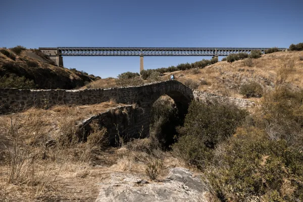
This alternative route connects the Alcaudete station (point 48,250 of the Green Way of Oil) to that of Vado Jaén (point 36,950 of the track). The tour begins at the old Alcaudete Station (km. 0). From here we're headed for Alcaudete. In the center of the city center we took the signposted detour to the location of the Amuña Fountain. At kilometer 6.4 we arrive at the crossing of Fuente Amuña, where we will continue in the direction of the Casillas de Martos. The road is raised by a curved route that for several kilometres offers good views of the countryside. At the kilometer 11.6 of tour we see a typical mountain cortijo located on a nava or depression inside the saw.
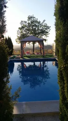
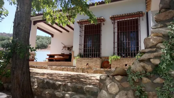
On the right side according to the direction of the march is the Pico Achillos (1.453 m.) that retains a lush slope of Mediterranean vegetation, and that gives name to this saw. Through paths you can ascend to this summit. At the kilometer 13.4 we reach the port, and the road begins the descent (at the crossing choose the right option). After five kilometres of quiet descent, you pass through a village that conserves a unitary school, witness to almost extinct rural ways of life. The kilometer 22 of route reaches the tail of the reservoir of the Víboras River (at this point there is a full rental rural house "La Morata").
After 2 kilometres, the wall of the dam serves as an entrance to the village of the Casillas de Martos. At the kilometer 25.4 we turned in the roundabout towards Martos and Alcaudete. This road leads us directly to the Green Way of Oil, and after 30.6 kilometers of pedal we arrived at the former Vado Jaén Station.