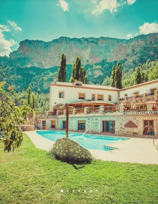
ALTERNATIVE GR 247.1 STAGE 1: Prado Maguillo and Forestrand House Refuge El Bodegón - Río Madera
Hiking, GR247 Forest Routes
Santiago Pontones



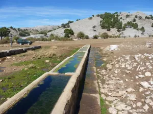


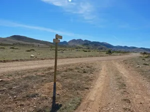
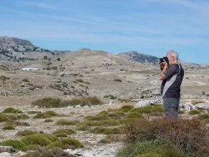
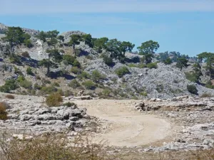




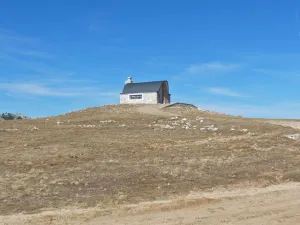
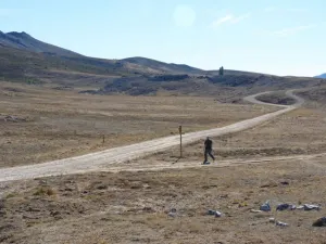

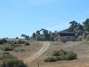
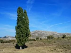

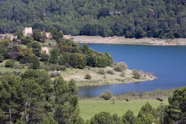
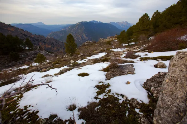
This stage of the Southern Forest trail runs through the Altiplanicie of Los Campos de Hernán Perea, which is one of the largest and most authentic landscapes of the natural park. It is a land with very few levels, but full of dolins and simas, very representative of the karmic landscape, and flanked by the great heights of the park, such as Empanadas, Puerto Lézar and El Banderillas. With its more than five thousand hectares, Los Campos has sometimes been characterized as a lunar landscape, where the craters would be the dolins, with its inverted funnel form.
It is a livestock route, as during part of the route it runs through the livestock. This is home to most of the livestock cabin of the natural park, whose great protagonist is the Segureña sheep, a race very adapted to these mountains. The particular nature of the area we will be going through is that it is the only area in the natural park where the main economic resource of its inhabitants is not the olive tree, but the sheep cattle.
According to the season of the year when we make this tour, we will get a different impression. In winter it is an area of intense snow and in spring water and green pastures abound. In summer and autumn the landscape is harder, drier, but it is probably when there is more life, with the thousands of cattle that pasture here. At any season of the year, this is an essential stage for those who know the natural park in an integral way.
At the end of this stage we found two alternatives. A kilometer before the end begins the 5-derivation, towards the summit of El Banderillas. Next to the Campos del Espino shelter, the GR 247.2 variant is started in a dizzy and exciting descent to the Guadalquivir valley.
ROUTE NAME
Refugio Rambla Seca - Refugio Campo del Espino
TRAIL TYPE
--
DIFFICULTY
Media
TOTAL DISTANCE (IN KILOMETERS) 13,65 km
Stretch of asphalt or concrete: 0
Section of track, forest road, or dry watercourse: 0
Trail section: 0
Sections of livestock trails: 0.01
HUSO 30S
ESTIMATED TRAVEL TIME
3 h 6 min
ROAD SURFACE TYPE
Forest Track and Trail
MAXIMUM ELEVATION CHANGE 199mm
223mm
116mm
DIFFICULTY. RATING ACCORDING TO THE MIDE METHOD
2
MEANS
Severity of the natural environment
1
ITINERARY
Route guidance
1
DISPLACEMENT
Difficulty moving about
3
EFFORT
Amount of effort required
ACCESSIBILITY TYPE
TIME OF YEAR
SIGNALING
No
MORE INFORMATION
TUNNELS
STEEL VIADUCTS
METAL WALKWAYS
WATER POINTS
PONTOONS
GUARD BOOTHS AND BARRIERS
SWITCHMAN'S CABINS
CYCLABILITY
RECREATIONAL OR SPORTS AREAS NEAR THE TRAIL
AID STATIONS
On the path: No
Near the path: No
LINKS TO OTHER TRAILS
GR 144
SHELTERS
In the beginning: Refugio de Rambla Seca; In the end: Refugio Campo del Espino.
RECOMMENDATIONS
OTHER INFORMATION OF INTEREST (ARCHITECTURAL OR HISTORICAL-CULTURAL, GEOLOGICAL-ECOLOGICAL)
Transhumanity is still alive.
This stage runs through a clearly livestock area where the ancient practice of transhumanism is still alive, which some of the farmers of Santiago- Pontones - especially from the village of La Mate- continue to carry out. Each winter, when the pastures of the high areas of the natural park are not profitable, they take the long way down to the pastures of the Sierra Morena jiennense and Manchega, where the sheep spend several months feeding on the pastures that are encouraged by the benign winter climate of the lowlands. When the spring is completed and the pastures of these areas are exhausted, they will make the way back to their original boreholes in the Sierra de Segura, where the pastures begin to be grown and juicy and where they will feed during the spring and summer.
It is a very ecological way to take advantage of the natural herbides by bringing the cattle to the right place at the right time, because it saves artificial feed and therefore the water and energy needed to make and transport them. In addition, pastures rest for a few months, avoiding their overexploitation. But transhumanism is hard for pastors, subject to all the inconveniences and infirmities of the journey, which lasts between a week and ten days during which they travel from 150 to 300 kilometres. Today, some pastors of the park have been able to add an ecotouristic perspective to transhumanism, so that this ancient journey is in some way a true adventure, which is lived as a personal experience of union with nature by the people who accompany them.
The fishing routes, which are the roads on which the flocks are moved, amount to 741 kilometres in the park and occupy an area of 2242 hectares, constituting a public heritage of great ecological, social and cultural importance. They cannot be built and free passage cannot be prevented.
La etapa parte del Refugio de Rambla Seca por pista forestal sobre vía pecuaria en dirección noreste. A 150 metros dejamos a la derecha la fuente y abrevadero de Rambla Seca y nos adentramos poco a poco en esta altiplanicie. Hacia la derecha tenemos el Puerto de Lézar y el Empanadas (2107 metros).
En la primera parte del recorrido, este tramo del sendero Bosques del Sur coincide con otro sendero de gran recorrido, el Sendero de la Trashumancia GR 144, de aproximadamente 80 kilómetros, que va desde Rambla Seca hasta Puente Mocho en Beas de Segura, siempre por vías pecuarias. En esta zona inicial, aunque no lo parezca, hay terrenos fértiles que hacen que aún se cultiven algunos cereales para alimentar al ganado, por lo que es frecuente encontrar alguna parcela arada o sembrada con variedades adaptadas a estas condiciones.
Encontramos una bifurcación de pistas forestales y en este punto abandonamos a la derecha el GR 144, que nos llevaría hasta la aldea de Don Domingo. Continuamos por la pista izquierda, que pronto empieza a serpentear, para salvar las numerosas dolinas del terreno. Una dolina es una depresión típica de los relieves kársticos, formados por la disolución de las rocas calizas. En estas dolinas, cuando abunda el agua y se satura su capacidad de recepción hacia el interior del macizo rocoso, se pueden formar lagunas que en invierno llegan a helarse. Otras formaciones kársticas de esta zona son las simas y las cuevas, a veces asociadas al centro de las dolinas. Caminamos siempre por encima de los 1600 metros, teniendo a nuestra izquierda una cresta montañosa en torno a los 1750 metros de altitud. La zona es más rocosa que el tramo inicial. A casi dos kilómetros del desvío, dejamos a la izquierda una tinada o aprisco de ganado y la pista continúa en ligero ascenso.
Siguiendo por la pista llegamos a este punto que, con una altitud de 1748 metros, un punto importante desde el que podemos contemplar la casi la totalidad del recorrido que hemos realizado y varios de los kilómetros que transitaremos más adelante. Si no fuera porque en los flancos de Los Campos siempre tenemos a varios centinelas montañosos de mayor altitud, sería muy difícil orientarnos, ya que el paisaje en el que estamos inmersos es muy homogéneo y tiene escasas referencias que destaquen claramente. Sin habernos dado cuenta, desde Rambla Seca, hemos ascendido 150 m de altitud en un paisaje de aspecto predominantemente plano. A partir de este momento hay un ligero descenso para volver a subir más tarde.
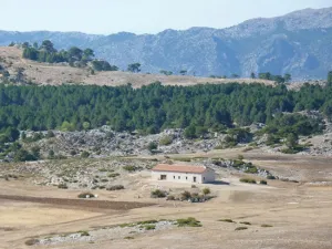
A nuestra izquierda queda este refugio, similar al resto de los que encontramos en la zona de Los Campos, que fueron construidos por el Instituto para la Conservación de la Naturaleza (ICONA) en los años 70 del pasado siglo, usados tradicionalmente por los pastores y restaurados recientemente. Tras él está el Calar del Pino, montaña predominantemente rocosa que se eleva sobre el altiplano. Son muy habituales los pozos superficiales para acumular agua para el ganado en los meses estivales. Encontraremos uno de ellos a 1,3 kilómetros del refugio, a pie de pista, a la derecha. Antiguamente se utilizaban troncos de madera, que se vaciaban para hacer los abrevaderos (tornajos), aunque en tiempos recientes se han sustituido muchos de ellos por piletas metálicas, lo que supone una lamentable pérdida en términos de estética.
Justo delante del Calar de Camarillas llegamos a un cruce de pistas donde debemos girar hacia la izquierda; la pista de la derecha nos llevaría hacia la aldea de Don Domingo por el Barranco del Borbotón.
Nuestro camino sigue en ascenso, hasta llegar a un collado a unos 400 metros del cruce citado. En este punto aparece una pista menos transitada hacia la izquierda que debemos obviar. Además, es imprescindible apartarnos momentáneamente apenas 100 metros a la izquierda de nuestra ruta para bajar a la parte más honda del gran cuenco –dolina– sobre el que nos encontramos. Podremos contemplar la Sima del Hundimiento, que es un embudo casi perfecto de unos 16 m de profundidad, con un primer tramo vertical y dos galerías descendentes paralelas entre sí.
A los 500 metros del anterior collado, habiendo dejado a la izquierda una plantación de pinos laricios, y antes de empezar a descender desde los 1776 metros de altitud que hemos alcanzado, encontramos a la izquierda una colina de forma cónica a cuya cima suben huellas de vehículos 4x4. Merece la pena subir a la misma porque es un excepcional mirador del Campo del Espino, Pinar Negro, Cordillera del Banderillas y el Calar de las Palomas, entre otros lugares. A lo lejos ya divisamos el refugio del Campo del Espino, más allá del solitario chopo que constituye el único vestigio de las arboledas que existieron en esta zona en tiempos pasados.
A la derecha, y cerrada al tráfico con barrera, hay una pista con señales del GR 247. Se trata de una de las más atractivas derivaciones (d-5) del sendero Bosques del Sur, la que asciende a la Cumbre de El Banderillas, que se describe también en esta guía y desde la que se disfruta de una de las mejores vistas montañeras de Andalucía.
La etapa finaliza en este refugio de pastores, que cuenta con aljibe para recoger el agua de lluvia, con una bomba manual para su extracción. Hay que recordar que es un agua sin tratamiento sanitario alguno. Desde el refugio tenemos varias opciones. De un lado, la citada derivación a la Cumbre del Banderillas; por otro, una de la etapas que componen la variante 247.2 de este sendero Bosques de Sur y que nos llevaría hasta el poblado de Coto Ríos; y, finalmente, la etapa 17 del trazado principal que nos llevará a Pontones.