ALTERNATIVE GR 247.1 STAGE 1: Prado Maguillo and Forestrand House Refuge El Bodegón - Río Madera
Hiking, GR247 Forest Routes
Santiago Pontones



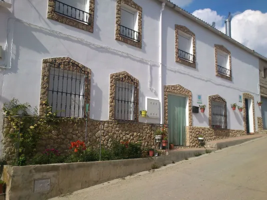
The tour begins at the intersection of the village of Rio Madera, at the intersection of the JF-7,038 road with the JF-7,039, initially we go towards the village, by asphalt road, leaving to our right the mountain host and the small hermitage of the village and, just a few meters and to the left, the old laundry and the corrijada of Rocanas.
Is part of

ROUTE NAME
CIRCULAR RÍO MADERA VALLE DE LOS ANCHOS
TRAIL TYPE
Circular
DIFFICULTY
--
TOTAL DISTANCE (IN KILOMETERS) 23,29 km
Stretch of asphalt or concrete: 0.19%
Section of track, forest road, or dry watercourse: 0.71%
Trail section: 0
Sections of livestock trails: 0
HUSO 30S
ESTIMATED TRAVEL TIME
ROAD SURFACE TYPE
Sandy and rocky
ELEVATION CHANGE
788mm
810mm
DIFFICULTY. RATING ACCORDING TO THE MIDE METHOD
--
MEANS
Severity of the natural environment
--
ITINERARY
Route guidance
--
DISPLACEMENT
Difficulty moving about
--
EFFORT
Amount of effort required
ACCESSIBILITY TYPE
TIME OF YEAR
SIGNALING
No
PERFIL DE ALTURAS

MORE INFORMATION
TUNNELS
STEEL VIADUCTS
METAL WALKWAYS
WATER POINTS
PONTOONS
GUARD BOOTHS AND BARRIERS
SWITCHMAN'S CABINS
CYCLABILITY
RECREATIONAL OR SPORTS AREAS NEAR THE TRAIL
La Morringa
AID STATIONS
LINKS TO OTHER TRAILS
SHELTERS
RECOMMENDATIONS
OTHER INFORMATION OF INTEREST (ARCHITECTURAL OR HISTORICAL-CULTURAL, GEOLOGICAL-ECOLOGICAL)
Technical Description
1.7 km. We left the asphalt road, to turn left by forest track and between larium pinears, going down slightly to the stream and from there gradually going back to the Arroyo de los Asperones and leaving to the right the Cortijos del Jaral, until we reach the Collado de los Asperones where a small farm of the Segureña sheep is located.
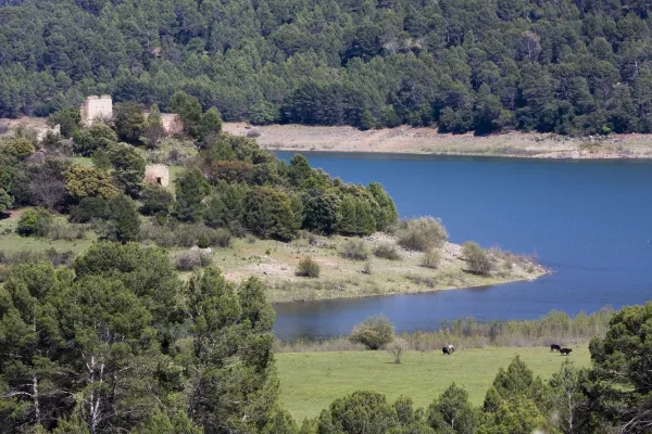
From there, and in a dizzy descent next to the Arroyo de Romaguillo, we go down to the cortijos of the same name where we go back to the asphalt road. Once in this we turned right to continue downstream through the valley of Rio Madera, leaving corijadas on both sides of it that show the most ancestral way of life of these mountains, where the locals won small plots next to the houses to have small gardens of self-supply. We'll go down the road 3.7 km. until you reach the small village of Venta de Rampees, just as you cross a bridge on it opens to our left a narrow asphalt track that is marked as Los Anchos.
The track of the Anchos, in a smooth and continuous rise, runs first through the right margin of the valley, leaving to the left cornered as the Hoya del Azor, and once we cross to the left side we will find on our left the Cortijos de Majada Oscura where an ethnographic museum is located that well deserves a careful visit.
The larix forests splattered with some trees of caduca, chopos and fruit leaves spatter these sites next to rocky walls especially on the right side of the valley. Continuing our climb through it, we reach the two most important villages of it, it is the village of the Anchos and Pradomaguillo, places that deserve a small break to walk between its alleys.
At the entrance of Pradomaguillo we must turn left following the signs of GR 147, but it is worth getting off the bike and looking at 150 m., past Pradomaguillo, to see from the track that continues to walk this valley, in a true natural viewpoint, the Valley of the Anchos in all its splendor.
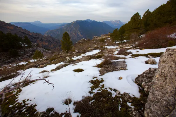
Just 400 m later, already on the GR-147, we found a small hill on our left without trees. We must go up to the same, for we will see great panoramic views of the valley and of the Calar that rise before us with its limestone walls. Then we continue our ground track to coronate at a few 300-400 m. along the Pradopurco Collado and once crowned simply follow the most transited track, in a sinuous but soft descent. We will see with the slender larity pine trees some small acebo bosquet and above all large pastures under the trees. To our right the Arroyo de las Tres Aguas and a vertical mole of limestone that is the Calar de Peñarrubia; just as we are in front of the Calar, below the stream we find ruins on a clear that belong to an ancient flour mill. A few 200-300 m. we will leave the GR-147 to the right to continue the track on which we were moving to the front. Soon this track descends and we cross the stream of the Three Waters, which only a few meters from the river Madera. Once we crossed the stream, we found a ruse, collaring and descent to wade the Wood River.
Cruzado Río Madera, we are in a very fresh and lush area, here is the area of Aparpada Controlada de la Morringa with its recreational area, it is worth moving 100 m. to the right to contemplate the remnants of the river and the facilities of the area.
We arrive again on the asphalt road, which we will have to follow to the right, to continue to climb up the valley of Rio Madera. At 1.2 km. We got to our starting point.