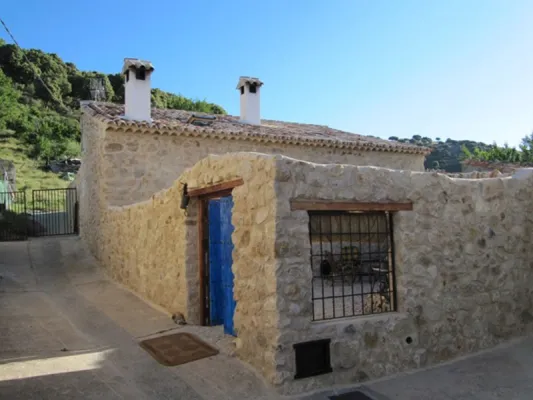
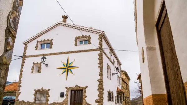
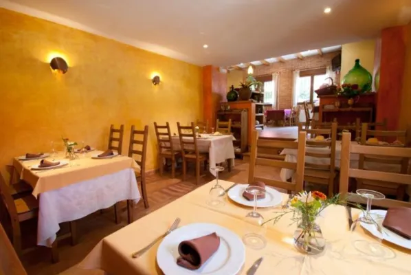
ALTERNATIVE GR 247.1 STAGE 1: Prado Maguillo and Forestrand House Refuge El Bodegón - Río Madera
Hiking, GR247 Forest Routes
Santiago Pontones



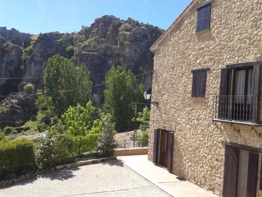
The Zumeta Valley, through which this route runs, is a true journey in time. By the river there have been settlements from the Neolithic to today. We will find archaeological sites, rock paintings, small castles and villages that are authentic ethnic museums in the open air. In them it is still easy to see their inhabitants doing work of other times.
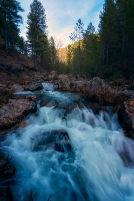
The morphology of the land also tells us of the thousands of years in which water has been the artisan hand that has built the landscape. As we go down this road, the oak and pine trees make way for lush riverside forests.
Is part of

ROUTE NAME
Ruta en coche Santiago de La Espada-Juntas de Miller
TRAIL TYPE
Scenic Drive
DIFFICULTY
Baja
TOTAL DISTANCE (IN KILOMETERS) --
Stretch of asphalt or concrete:
Section of track, forest road, or dry watercourse:
Trail section:
Sections of livestock trails:
HUSO 30S
ESTIMATED TRAVEL TIME
1 día
ROAD SURFACE TYPE
Road
--
--
DIFFICULTY. RATING ACCORDING TO THE MIDE METHOD
--
MEANS
Severity of the natural environment
--
ITINERARY
Route guidance
--
DISPLACEMENT
Difficulty moving about
--
EFFORT
Amount of effort required
ACCESSIBILITY TYPE
TIME OF YEAR
SIGNALING
No
MORE INFORMATION
TUNNELS
STEEL VIADUCTS
METAL WALKWAYS
WATER POINTS
PONTOONS
GUARD BOOTHS AND BARRIERS
SWITCHMAN'S CABINS
CYCLABILITY
RECREATIONAL OR SPORTS AREAS NEAR THE TRAIL
AID STATIONS
LINKS TO OTHER TRAILS
SHELTERS
RECOMMENDATIONS
OTHER INFORMATION OF INTEREST (ARCHITECTURAL OR HISTORICAL-CULTURAL, GEOLOGICAL-ECOLOGICAL)
Technical Description
Among the options we propose to you:
Km 0.Santiago de la Sword. Located at 1350 m of altitude, its main economic activity is extensive livestock. It has the parish church of Santiago Apostle (16th century), built on an earlier hermitage dedicated to the same saint and which has a beautiful major altarpiece of Baroque style. In the square of the City Hall we find an old 16th century inn with a vistose wooden balconade.
Km 10.Mirador del Salto de la Nova or del Zumeta; 10 km from Santiago we find on the right hand side this mirador from which we see the limit of the Park and the province of Jaén. Watch out for hats, they can fly a long way.
Km 12.Tobos village. Compulsory stop to buy good bread and delicious cakes. Next to the road there is a simple laundry room that circulates the Tobos stream, with fresh and clean waters.
Km 13.Vites village. To get to the village of Vites you have to turn left and drive 2 km. In this village are raised magnificent white grapes, large and sweet, from which a powerful spirit is distilled. Ask the local neighbors.
Prado Moro.At the end of the village of Vites a left road ascends to Prado Moro. Here a centenary oak resists at the time that gives us a vision of the vegetation that in the past existed in the area.
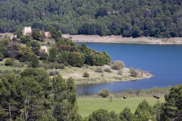
Km 16.Embalse de la Vieja. A prominent peak called the Morrison announces the beginning of the Old Age reservoir. After the village of Morrión, a lane - not marked - goes down on the left to the reservoir.
Km 18.The Vadico. Two km from the reservoir there are houses on the right side of the road with a wall in front. Right across the street we found a way up to the Vadico. It's a nice walk, by a real vergel, which deserves to be made on foot. On the way there are sources to be able to refresh and collect water.
Km 18.5.Entrance to the villages of La Muela, Marchena and Marchenica. The Muela is 5.4 km from this point. In its vicinity is Hoya Somera, an important archaeological site of the bronze age. Later on there are Marchena and Marchenica. In its surroundings, there were Roman remains and an Arab necropolis.
Km 22.Miller's together. At this point the Zumeta River has come with us all the way and the Segura. A natural stone tunnel announces the arrival at this meeting place.
Miller village.From Las Juntas there is another road that reaches this historic village with more than 20 water births. It is a starting point for several routes that will make us known beautiful areas of the Sierra de Segura. When you pass the stone tunnel you have to follow the indication "Central and Miller."