ALTERNATIVE GR 247.1 STAGE 1: Prado Maguillo and Forestrand House Refuge El Bodegón - Río Madera
Hiking, GR247 Forest Routes
Santiago Pontones



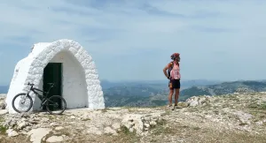
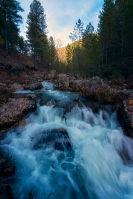
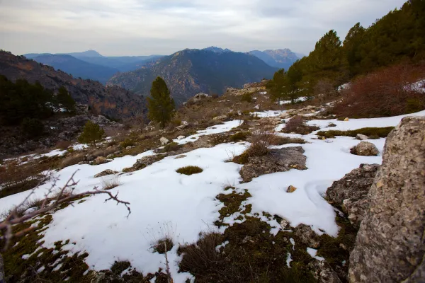
The tour begins on the road to the Cuesta de Mirabueno, on the Llanos de Arance track, and has a linear round and round section and a circular. The route starts at 4.6 km. on the A-319 road, right on a closed track left on our right. This track, in continuous rise, enters us by the three types of pine trees that exist in the Park (carrasco, black and laricio pines) as we gain altitude, but we must highlight the magnificent forest of burning that we go through at half climb.
Is part of

ROUTE NAME
CAMINO DE MIRABUENO A LOS CENTENARES
TRAIL TYPE
Linear and circular
DIFFICULTY
--
TOTAL DISTANCE (IN KILOMETERS) 42,1 km
Stretch of asphalt or concrete: 0
Section of track, forest road, or dry watercourse: 0.01
Trail section: 0
Sections of livestock trails: 0
HUSO 30S
ESTIMATED TRAVEL TIME
ROAD SURFACE TYPE
Sandy and rocky
ELEVATION CHANGE
1938mm
1941mm
DIFFICULTY. RATING ACCORDING TO THE MIDE METHOD
--
MEANS
Severity of the natural environment
--
ITINERARY
Route guidance
--
DISPLACEMENT
Difficulty moving about
--
EFFORT
Amount of effort required
ACCESSIBILITY TYPE
TIME OF YEAR
SIGNALING
No
PERFIL DE ALTURAS

MORE INFORMATION
TUNNELS
STEEL VIADUCTS
METAL WALKWAYS
WATER POINTS
PONTOONS
GUARD BOOTHS AND BARRIERS
SWITCHMAN'S CABINS
CYCLABILITY
RECREATIONAL OR SPORTS AREAS NEAR THE TRAIL
Plains of arance.
AID STATIONS
LINKS TO OTHER TRAILS
SHELTERS
RECOMMENDATIONS
OTHER INFORMATION OF INTEREST (ARCHITECTURAL OR HISTORICAL-CULTURAL, GEOLOGICAL-ECOLOGICAL)
Technical Description
We can refresh at the Fountain del Roble, which gives name to the initial area, and arrive at the crossing of the road to the Archites, in the km. 6.7, we'll have to turn right at first to do a round-trip. Then, when we return, we will continue our route on the left. The linear section has great attractions, as it is an old vulture feeder located in the km. 7.2, or the Majal Alto watch house with stunning views of the whole of the Banderillas and the Guadalquivir Valley (km. 9.1). Once crowned Majal Alto and after a brief descent we will continue to ascend to the village of Las Canalejas and then to Los Centenares, two of the populations that were uninhabited with the creation of the National Cazorla and Segura Coto in the year 1,960.
From the Centenars we start the return on the same way out until we reach the km. 4.6, where we took the track of the Archites, another of the cords inhabited in its day, where they also took advantage of the nearest land to grow all kinds of cereals, and which have now become mostly forest land.
Finally continuing the track in continuous descent we reach the edge of the Embalse del Tranco, just opposite the Island of Cabeza de la Viña, in the area known as the Iron Bridge. We turn there to the left to line the reservoir. We will leave to our right the ruins of the castle of Bujaraiza and the plain of the same name, well known as the stage of the berrea, the fighting that takes place every year in September among the great deer males in their time of zeal. Finally we arrive at the Mirabueno view over the Guadalquivir River and just 300 m. to the starting place.