Piedra del Agujero
Description
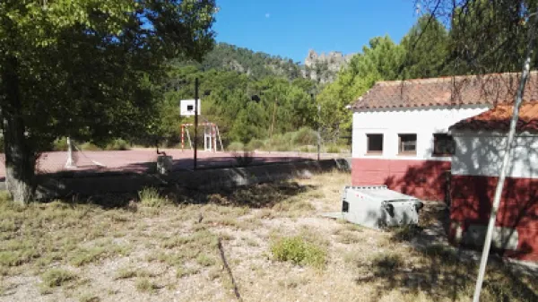
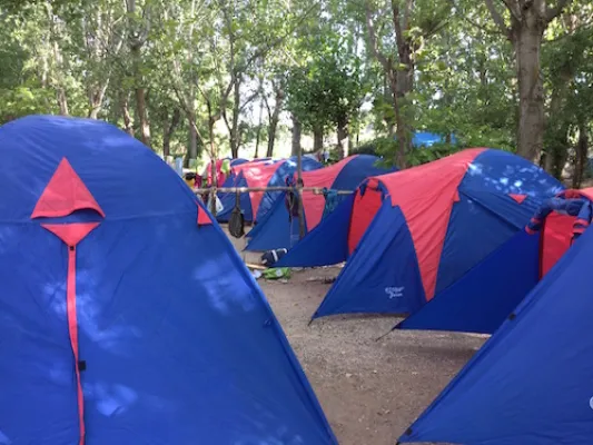
It is located between Navalperal and Cerro Bucentaina near the Camping de la Canalica.
Also known as Horadada Stone, the Hole Stone marks a geomorphological milestone in the landscape.
It is part of a north-south mountain alignment, whose main reliefs are Navalperal and Bucentaina. The "Hole Stone" is a magnificent example of uniform relief in dolomies. These are dolomies with subhorizontal stratification with several caves that cross the peak, and with a very well developed "dentado" relief.
Access is only possible on foot, but the environment can be visited on the route "Circular Peña del Olivar" from the Sierra de Segura Road Network.
Is part of

Datos de la ruta
ROUTE NAME
Piedra del Agujero
TRAIL TYPE
Circular
DIFFICULTY
--
TOTAL DISTANCE (IN KILOMETERS) --
-
Stretch of asphalt or concrete:
-
Section of track, forest road, or dry watercourse:
-
Trail section:
-
Sections of livestock trails:
HUSO 30S
30S x = 535823 and = 4249027
ESTIMATED TRAVEL TIME
ROAD SURFACE TYPE
--
--
DIFFICULTY. RATING ACCORDING TO THE MIDE METHOD
--
MEANS
Severity of the natural environment
--
ITINERARY
Route guidance
--
DISPLACEMENT
Difficulty moving about
--
EFFORT
Amount of effort required
ACCESSIBILITY TYPE
TIME OF YEAR
SIGNALING
No
MORE INFORMATION
TUNNELS
STEEL VIADUCTS
METAL WALKWAYS
WATER POINTS
PONTOONS
GUARD BOOTHS AND BARRIERS
SWITCHMAN'S CABINS
CYCLABILITY
RECREATIONAL OR SPORTS AREAS NEAR THE TRAIL
AID STATIONS
LINKS TO OTHER TRAILS
SHELTERS
RECOMMENDATIONS
OTHER INFORMATION OF INTEREST (ARCHITECTURAL OR HISTORICAL-CULTURAL, GEOLOGICAL-ECOLOGICAL)