

Circular Route el Yelmo Chico
Description
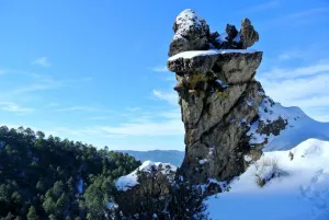
Between the Garganta de Hornos and the El Yelmo peak, near the village of La Capellanía in the municipality of Hornos de Segura.
In the village of the Capellania, right at the entrance, as the first building is passed to our right, the path starts. There is an indicative arrow and the corresponding start panel.
Is part of

Datos de la ruta
ROUTE NAME
Ruta Circular el Yelmo Chico
TRAIL TYPE
Linear and Circular Route
DIFFICULTY
Media
TOTAL DISTANCE (IN KILOMETERS) 14,8 km
-
Stretch of asphalt or concrete:
-
Section of track, forest road, or dry watercourse:
-
Trail section:
-
Sections of livestock trails:
HUSO 30S
527463 mE / 4229393Nm
ESTIMATED TRAVEL TIME
4 h
ROAD SURFACE TYPE
The route runs along a narrow forest track, except for its first meters which follow a trail.
ELEVATION CHANGE
580mm
--
DIFFICULTY. RATING ACCORDING TO THE MIDE METHOD
--
MEANS
Severity of the natural environment
--
ITINERARY
Route guidance
--
DISPLACEMENT
Difficulty moving about
--
EFFORT
Amount of effort required
ACCESSIBILITY TYPE
TIME OF YEAR
All year round
SIGNALING
No
MORE INFORMATION
TUNNELS
STEEL VIADUCTS
METAL WALKWAYS
WATER POINTS
PONTOONS
GUARD BOOTHS AND BARRIERS
SWITCHMAN'S CABINS
CYCLABILITY
RECREATIONAL OR SPORTS AREAS NEAR THE TRAIL
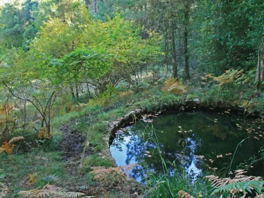
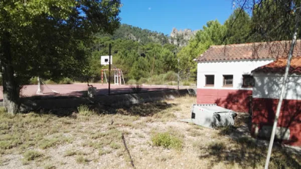
Along the route we will find several places suitable for refreshment and rest, two of them, on foot of the route, are corresponding to cattle forks. But we recommend to visit the area of La Fuente de los Ganados just 5 minutes from our route, a very suitable place for the rest where we will find an old forest house.
AID STATIONS
LINKS TO OTHER TRAILS
SHELTERS
RECOMMENDATIONS
OTHER INFORMATION OF INTEREST (ARCHITECTURAL OR HISTORICAL-CULTURAL, GEOLOGICAL-ECOLOGICAL)