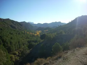


Circular Route Navalespino
Is part of

Datos de la ruta
ROUTE NAME
Ruta Circular Navalespino
TRAIL TYPE
Linear and Circular Route
DIFFICULTY
Media
TOTAL DISTANCE (IN KILOMETERS) 7,7 km
-
Stretch of asphalt or concrete:
-
Section of track, forest road, or dry watercourse:
-
Trail section:
-
Sections of livestock trails:
HUSO 30S
539909 mE / 4236584 mN
ESTIMATED TRAVEL TIME
2 h 30 min
ROAD SURFACE TYPE
Forest Track and Trail
ELEVATION CHANGE
250mm
--
DIFFICULTY. RATING ACCORDING TO THE MIDE METHOD
--
MEANS
Severity of the natural environment
--
ITINERARY
Route guidance
--
DISPLACEMENT
Difficulty moving about
--
EFFORT
Amount of effort required
ACCESSIBILITY TYPE
TIME OF YEAR
All year round
SIGNALING
No
MORE INFORMATION
TUNNELS
STEEL VIADUCTS
METAL WALKWAYS
WATER POINTS
PONTOONS
GUARD BOOTHS AND BARRIERS
SWITCHMAN'S CABINS
CYCLABILITY
RECREATIONAL OR SPORTS AREAS NEAR THE TRAIL
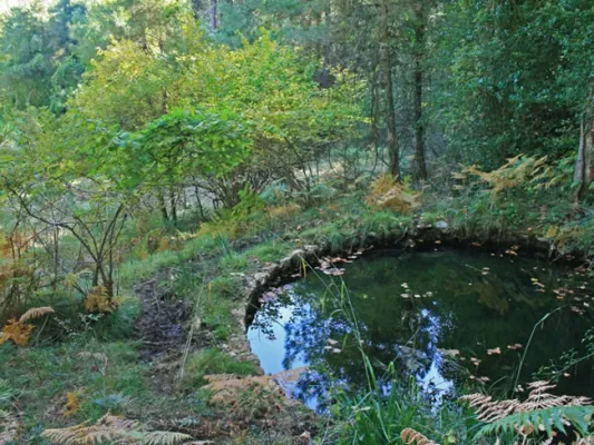
The only point of water is the Fountain of the Hoya del Trigo at 2,2? Km from the beginning. It can dry in summer.
AID STATIONS
LINKS TO OTHER TRAILS
SHELTERS
RECOMMENDATIONS
Type of Signals:Beacons with white arrows and mojones. From the km 1.3 and to the top we will also find white and yellow signs of international signage such as the Path of Small Tour (PR) of the PR-A 178.
OTHER INFORMATION OF INTEREST (ARCHITECTURAL OR HISTORICAL-CULTURAL, GEOLOGICAL-ECOLOGICAL)
Technical Description
From Segura de la Sierra we take the Sierra road (JV-7032), and at 8.3 km we find a crossing called La Era del Fustal, where we turn right, towards Santiago de la Sword. About 400? m later we took to the left a long forest track that flows into the Albaceteña village of Parolís. It is a wide track and in good condition, at the beginning of which there are signs of speed and weight limitation.
From Siles we take the road called the Road of the Azebeas (JF-7012). At 14 Km we arrive at the crossing that goes to Segura de la Sierra on the right (The Era del Fustal). We ignore it and continue to face it by finding about 400? m to the left the forest track mentioned above.