Scenic Drive Cazorla - Cerrada del Utrero - Torre del Vinagre
Description
History and nature by the Guadalquivir River are the proposals for this route full of contrasts that leads us to some of the most significant points of the Natural Park of the saws of Cazorla, Segura and the Villas.
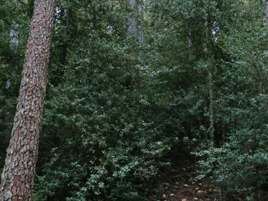
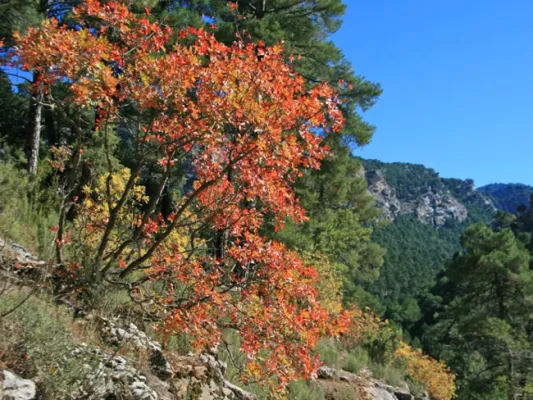
The great protagonist is, of course, the Guadalquivir River, which we will see docile in the olive and narrow and noisy countryside in the high parts of the valley where he has been in charge of modeling the magnificent landscapes we will see. You can appreciate the contrast between people full of history and culture, who live together with a natural environment that is invariable and full of life: you will find wild animals, forests that cover the whole landscape, high mountains and water everywhere.
Is part of

Datos de la ruta
ROUTE NAME
Ruta en coche Cazorla - Cerrada del Utrero - Torre del Vinagre
TRAIL TYPE
Scenic Drive
DIFFICULTY
--
TOTAL DISTANCE (IN KILOMETERS) 40 km (solo ida)
-
Stretch of asphalt or concrete:
-
Section of track, forest road, or dry watercourse:
-
Trail section:
-
Sections of livestock trails:
HUSO 30S
ESTIMATED TRAVEL TIME
1 día
ROAD SURFACE TYPE
Road
--
--
DIFFICULTY. RATING ACCORDING TO THE MIDE METHOD
--
MEANS
Severity of the natural environment
--
ITINERARY
Route guidance
--
DISPLACEMENT
Difficulty moving about
--
EFFORT
Amount of effort required
ACCESSIBILITY TYPE
By car, on foot
TIME OF YEAR
All year round
SIGNALING
No
MORE INFORMATION
TUNNELS
STEEL VIADUCTS
METAL WALKWAYS
WATER POINTS
PONTOONS
GUARD BOOTHS AND BARRIERS
SWITCHMAN'S CABINS
CYCLABILITY
RECREATIONAL OR SPORTS AREAS NEAR THE TRAIL
AID STATIONS
LINKS TO OTHER TRAILS
SHELTERS
RECOMMENDATIONS
OTHER INFORMATION OF INTEREST (ARCHITECTURAL OR HISTORICAL-CULTURAL, GEOLOGICAL-ECOLOGICAL)
Technical Description
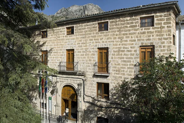
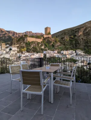
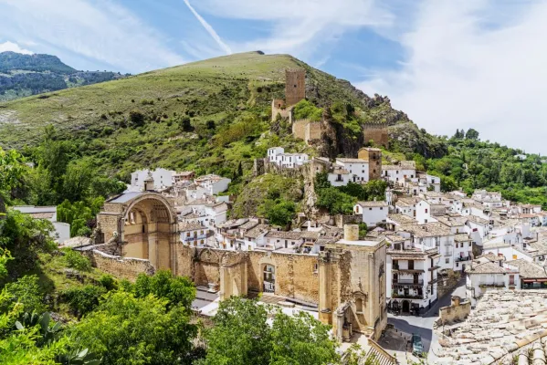
Km 0. Caraway. The best way to enjoy Cazorla is to get lost in the streets of the old town and to discover some of its wonders, but on this occasion we propose some forced visits: the Plaza de Santa María, the Castle of the Yedra and some churches such as that of the Carmen or San Francisco of Renaissance style.
Km 1.5. The Iruela.Here we propose to stop you again, leave the car by the road and walk up one of the steep streets that lead to the castle that was owned by the Templars. From above you will have a beautiful view of the Guadalquivir depression. Next to the castle you can also visit the Church of Santo Domingo - and know the details of its foundation and history. Back in the car you will enjoy slimmed streets full of flowers that cheer the view.
Km 12. Air Pass lookout.We go up the road that leads us to the Natural Park and to say goodbye to the countryside, nothing better than to stop at this Mirador and enjoy its views. From here we change villages, castles and olive trees to valleys, rivers and mountains.
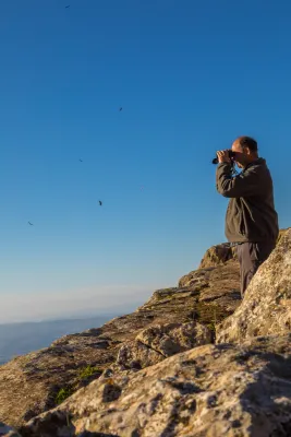
Km 13. View of the Port of the Doves (1200 m).The landscape changes dramatically. You will find a great panoramic view of the Alto Valle del Guadalquivir, surrounded by beautiful mountains, including the Poyos de la Mesa on the right, unmistakable by its steep cliffs. It is also a good point to observe rapacious birds such as the royal eagle or the leonate vulture.
Km 16. Valley splash.In fact, the Valley Empalme is not a stop but a crossroads. We can turn left and descend to Cold Arroyo, but at this point we will follow the right-hand option following the JF-7092 road that leads us to the Utrero Clock.
Km 19.5. Closed from the Utrel. 3.5 Km from the Empalme del Valle you can reach a bridge over the Guadalquivir River. At this point we have to leave the car. Here begins a circular route of approximately 45 minutes that we will walk. It is a charming walk next to a Guadalquivir that is going to fit in and that later receives the surprise from the air of the stream of Linarejos. Impossible.
Km 23. Valley splash.Back to the road crossing we now continue on the right, following the A-319 road towards Cold Arroyo.
Km 30. Cold Arroyo.At this point in the road we can visit the Ethnographic Museum of Arts and Customs of the Natural Park. Cold Arroyo is also a good place to take something or make some unexpected purchase.
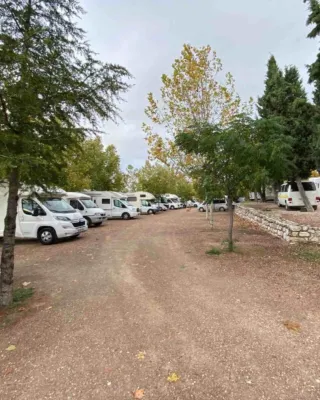
Km 33. Tejina Recreative Area.A stop on the way to rest, relax and eat outdoors if that's your choice.
Km 40. Vinagre Tower.This is certainly a strategic place within the Park because of it some of the routes that will take you to places as famous as the Cerrada de Elias or the Laguna de Valdeazores. At this point there are also a number of facilities that allow you to know the Park. You will find information about this extraordinary enclave in the area "Passeos por el Valle."