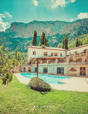
ALTERNATIVE GR 247.1 STAGE 1: Prado Maguillo and Forestrand House Refuge El Bodegón - Río Madera
Hiking, GR247 Forest Routes
Santiago Pontones



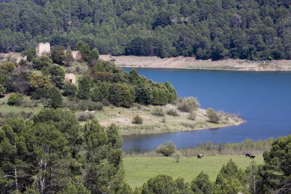
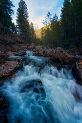
After contemplating at the beginning the great poza where the Segura river is born, the route ascends between pinars, pastures, small vaguadas and very broken hills by the karmic action.
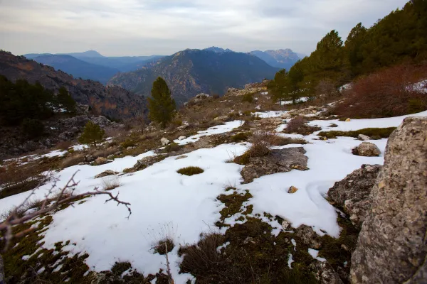
The route ends in an impressive cut from which we discover the most panoramic. To the left, the rope of the Banderillas and the Sierra de Cazorla. To the right stands the summit of the Yelmo and the Alcaraz Albaceteña saw.
The most immediate thing is the abandoned village of Los Centenares. After that, the summit curtain of the Sierra de Mirabuenos and the Sierra de las Villas, among which the Guadalquivir valley and the Tranco reservoir are hidden. Beyond, the view is lost in the plains of Castilla-La Mancha. The area is continuously overflown by leonate vultures and the muflon is very abundant.
Is part of

ROUTE NAME
Ruta Nacimiento del Río Segura – Mirador de Juan León
TRAIL TYPE
Linear Route
DIFFICULTY
Media
TOTAL DISTANCE (IN KILOMETERS) 5,6 km (solo ida)
Stretch of asphalt or concrete: --
Section of track, forest road, or dry watercourse: --
Trail section: --
Sections of livestock trails: --
HUSO 30S
ESTIMATED TRAVEL TIME
1 h 45 min (solo ida)
ROAD SURFACE TYPE
The first km is along a forest track and the rest on a path.
ELEVATION CHANGE
317mm
--
DIFFICULTY. RATING ACCORDING TO THE MIDE METHOD
--
MEANS
Severity of the natural environment
--
ITINERARY
Route guidance
--
DISPLACEMENT
Difficulty moving about
--
EFFORT
Amount of effort required
ACCESSIBILITY TYPE
TIME OF YEAR
SIGNALING
No
MORE INFORMATION
TUNNELS
STEEL VIADUCTS
METAL WALKWAYS
WATER POINTS
PONTOONS
GUARD BOOTHS AND BARRIERS
SWITCHMAN'S CABINS
CYCLABILITY
RECREATIONAL OR SPORTS AREAS NEAR THE TRAIL
Pontones has various services and at the birth of the Segura there is a recreational area with banks and tables. There are no sources on the tour.
AID STATIONS
LINKS TO OTHER TRAILS
SHELTERS
RECOMMENDATIONS
OTHER INFORMATION OF INTEREST (ARCHITECTURAL OR HISTORICAL-CULTURAL, GEOLOGICAL-ECOLOGICAL)
Technical Description
Attention to snow in winter and contrast of temperatures between day and night in summer.