Hiking Route Poandos de La Mesa
Description
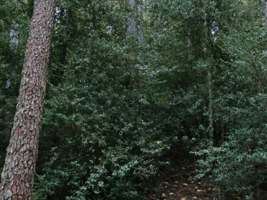
The ships are very fertile lands that are located at a certain height that have been exploited by man since time immemorial as fresh pastures or as agricultural grounds; in the first of them we find in the asphalt Track first and after land JF-7091, the Nava del Espino, is the beginning of this path, right next to the ruins of the forest house of the same name. The route always by narrow track of land, closed to the traffic of private vehicles, runs through spectacular laricio forest with large pastures, and is gradually ascending along the slopes of Los Poyos de la Mesa.
Is part of

Datos de la ruta
ROUTE NAME
POYOS DE LA MESA
TRAIL TYPE
Short-distance trail. Linear. Round trip
DIFFICULTY
Media
TOTAL DISTANCE (IN KILOMETERS) 6,43 km (solo ida)
-
Stretch of asphalt or concrete: 0
-
Section of track, forest road, or dry watercourse: 0.01
-
Trail section: 0
-
Sections of livestock trails: 0
HUSO 30S
30S x = 506893 and = 4194324
ESTIMATED TRAVEL TIME
3 h 12 min
ROAD SURFACE TYPE
Sandy and rocky
ELEVATION CHANGE
225mm
103mm
DIFFICULTY. RATING ACCORDING TO THE MIDE METHOD
2
MEANS
Severity of the natural environment
1
ITINERARY
Route guidance
1
DISPLACEMENT
Difficulty moving about
3
EFFORT
Amount of effort required
ACCESSIBILITY TYPE
In Bicycle, Horse, on foot
TIME OF YEAR
All year round
SIGNALING
No
PERFIL DE ALTURAS

MORE INFORMATION
TUNNELS
STEEL VIADUCTS
METAL WALKWAYS
WATER POINTS
PONTOONS
GUARD BOOTHS AND BARRIERS
SWITCHMAN'S CABINS
CYCLABILITY
RECREATIONAL OR SPORTS AREAS NEAR THE TRAIL
La Garganta recreational area
AID STATIONS
LINKS TO OTHER TRAILS
SHELTERS
RECOMMENDATIONS
OTHER INFORMATION OF INTEREST (ARCHITECTURAL OR HISTORICAL-CULTURAL, GEOLOGICAL-ECOLOGICAL)
Technical Description
The ships are very fertile lands that are located at a certain height that have been exploited by man since time immemorial as fresh pastures or as agricultural grounds; in the first of them we find in the asphalt Track first and after land JF-7091, the Nava del Espino, is the beginning of this path, right next to the ruins of the forest house of the same name.
The route always by narrow track of land, closed to the traffic of private vehicles, runs through spectacular laricio forest with large pastures, and is gradually ascending along the slopes of Los Poyos de la Mesa. It is very common to observe the great herbivores of the park on this route, and to find up to the four species that exist along it.
After walking 2.4 km we find a fork that we will have to follow to the right and gently continue the ascent.
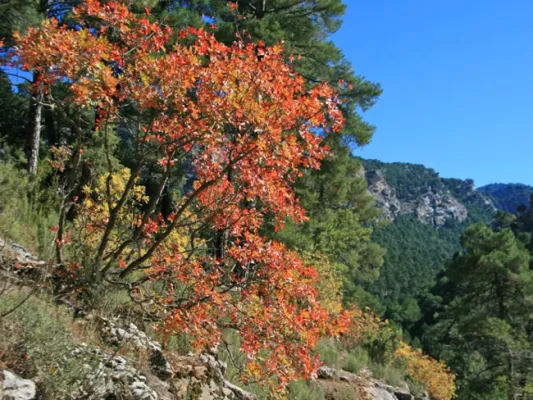
In the km 3 after the Galan Collado the views to the right begin to be spectacular, for practically without realizing we are incarnate in one of the most classic calares we can find, we are really on the edge of a table. Here the limestone that we have just below acts as a great sponge that collects water in periods of abundance, to gradually release it several hundred meters below and months later. It is worth deviating from our route in km 3.3 to the left to climb to the moon fire surveillance shed that remains in the rocky crest that we have parallel and this is in use in the months of maximum risk.
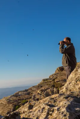
Just a few meters later we find ourselves immersed in a high platform, full of dolins and minions with large forest clear very rich in fresh grass. It is an ideal place for wildlife observation. We will continue the track through which we travel without leaving it until we reach the km 4.1, there we find a track to the front that quickly begins to descend, we must despise it and continue on the one that turns to the right, continuing on the calar. Finally we will reach the edge of a cut rocky where the old surveillance house of the Poyos is located, a true natural viewpoint of the Guadalquivir valley.