Hiking Route Laguna de Valdeazores
Description
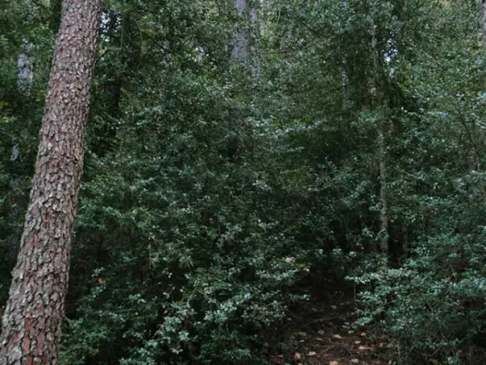
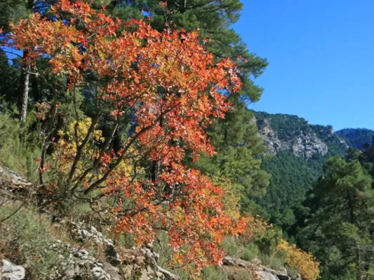
The Route begins from the runway of the Navas to the height of Collado Bermejo, to the left by the forest track, which has a barrier. It is a comfortable descent between forests of larix pine, ferns, maples, maples, complaints, oaks, olmos, some tiles, acebos, and we can also observe the most characteristic fauna in the area. 3 km from the beginning we find the Arroyo de la Reina that we must cross to continue the track, it is a high mountain stream attached between the mountains.
Is part of

Datos de la ruta
ROUTE NAME
COLLADO BERMEJO A NACIMIENTO DE AGUAS NEGRAS
TRAIL TYPE
Linear. Round trip
DIFFICULTY
Media
TOTAL DISTANCE (IN KILOMETERS) 6,28 km (solo ida)
-
Stretch of asphalt or concrete: 0
-
Section of track, forest road, or dry watercourse: 88.38%
-
Trail section: 11.62%
-
Sections of livestock trails: 0
HUSO 30S
30S x = 516335 and = 4202119
ESTIMATED TRAVEL TIME
3 h 10 min (ida y vuelta)
ROAD SURFACE TYPE
Sandy and rocky
ELEVATION CHANGE
104mm
356mm
DIFFICULTY. RATING ACCORDING TO THE MIDE METHOD
2
MEANS
Severity of the natural environment
1
ITINERARY
Route guidance
1
DISPLACEMENT
Difficulty moving about
3
EFFORT
Amount of effort required
ACCESSIBILITY TYPE
In Bicycle, Horse, on foot
TIME OF YEAR
All year round
SIGNALING
No
PERFIL DE ALTURAS

MORE INFORMATION
TUNNELS
STEEL VIADUCTS
METAL WALKWAYS
WATER POINTS
PONTOONS
GUARD BOOTHS AND BARRIERS
SWITCHMAN'S CABINS
CYCLABILITY
RECREATIONAL OR SPORTS AREAS NEAR THE TRAIL
AID STATIONS
LINKS TO OTHER TRAILS
SHELTERS
RECOMMENDATIONS
Tunes to Body Salto - Piscifatoria Del Borosa
OTHER INFORMATION OF INTEREST (ARCHITECTURAL OR HISTORICAL-CULTURAL, GEOLOGICAL-ECOLOGICAL)
Most of the Tour runs along the edge of one of the Park Reserve areas, an area with maximum protection level (Grade A) due to the ecological values it houses.
Technical Description
The Route begins from the runway of the Navas to the height of Collado Bermejo, to the left by the forest track, which has a barrier. It is a comfortable descent between forests of larix pine, ferns, maples, maples, complaints, oaks, olmos, some tiles, acebos, and we can also observe the most characteristic fauna in the area. 3 km from the beginning we find the Arroyo de la Reina that we must cross to continue the track, it is a high mountain stream attached between the mountains.
At 4.4 km we reach the Laguna de Valdeazores which is the only permanent natural lagoon in the Park. It was formed by a large landslide that overtook the Queen's stream, and the current containment wall was later built. From the other side of the wall you can see a beautiful panorama of the entire lagoon. It is home to an amazing lacustre flora and fauna, among which the royal anades, seals and water cocks stand out.
Downhill, at 900 m. the track, we enter into a large nozzle, which leads to an explanade of which, to the right, a sidewalk that will be bordering the Embalse of Black Waters, leaving a track to our left that begins to rise. The dam was created to channel the Borosa River for hydroelectric use. We pass over the dam and, right on the other side, we will have to turn right to continue to border the reservoir on a sidewalk that will take us, about 300 m to the birth of Aguas Negras, where the Borosa river runs, although in times of plenty of water this is nourished from the Arroyo del Inferno that flows into this place. It's one of the most cuddly births in the entire park.
If we cross the dam we could continue a path, through tunnels that would take us to the organ jump, the hydroelectric central, several spectacular closures and finally to the Borosa Piscifatoria, near the Vinagre Tower Interpretation Center and the village of the Loma de Mariangela.