ALTERNATIVE GR 247.1 STAGE 1: Prado Maguillo and Forestrand House Refuge El Bodegón - Río Madera
Hiking, GR247 Forest Routes
Santiago Pontones



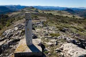

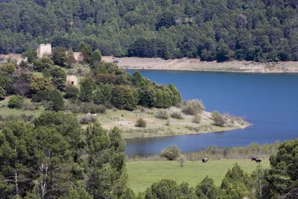
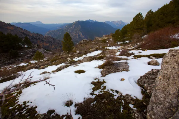
On this natural balcony made up of almond rocks located at 1700 m of altitude, you can enjoy a spectacular panoramic view. Before you the Sierra de las Villas to the west, to the south of Cazorla and to the east of Segura, all with its most representative peaks. If you look out with caution you will be impressed by the view of the Barranco del Lobo, next to which the abandoned village of Los Centenares is located. From the viewpoint you can still see the ages that their inhabitants used to feed the grain.
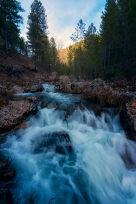
The forest track that leads you to the viewpoint of Juan León can be done by car, although it is worth taking a walk. In progressive ascension you will enjoy a pleasant landscape that is being transformed as you advance. You will find areas with imposing isolated pine trees, thick forests and noble shrubs with protected species, increasingly difficult to find. If it is spring you will be seduced by the great flowers of peony, of a striking fuchsia color.
At other times the landscape is opened, leaving to see rocky and piornal ones that tell us that we are many meters high. Along the climb you will see some dyes and tornips, buildings intended for the shelter and feeding of the cattle. Walking these paths and watching the landscape you will discover the life of these lands.
Already on the balcony you must be attentive, because at any time it can appear before your eyes some rapace with its majestic flight, perhaps pursued by the crows in their struggle for the territory.
Is part of

ROUTE NAME
Pista Forestal mirador de Juan León
TRAIL TYPE
--
DIFFICULTY
--
TOTAL DISTANCE (IN KILOMETERS) --
Stretch of asphalt or concrete:
Section of track, forest road, or dry watercourse:
Trail section:
Sections of livestock trails:
HUSO 30S
ESTIMATED TRAVEL TIME
ROAD SURFACE TYPE
Forest track
--
--
DIFFICULTY. RATING ACCORDING TO THE MIDE METHOD
--
MEANS
Severity of the natural environment
--
ITINERARY
Route guidance
--
DISPLACEMENT
Difficulty moving about
--
EFFORT
Amount of effort required
ACCESSIBILITY TYPE
TIME OF YEAR
SIGNALING
No
MORE INFORMATION
TUNNELS
STEEL VIADUCTS
METAL WALKWAYS
WATER POINTS
PONTOONS
GUARD BOOTHS AND BARRIERS
SWITCHMAN'S CABINS
CYCLABILITY
RECREATIONAL OR SPORTS AREAS NEAR THE TRAIL
AID STATIONS
LINKS TO OTHER TRAILS
SHELTERS
RECOMMENDATIONS
Continue to the left by the rope of the viewpoints of which the one of Juan León is the beginning. After 1 km along a path you will reach the top of this mountain chain, which will allow you to see part of the Tranco reservoir and also, if the day is clear and clear, the mountains of Granada and Alcaraz.
OTHER INFORMATION OF INTEREST (ARCHITECTURAL OR HISTORICAL-CULTURAL, GEOLOGICAL-ECOLOGICAL)
Technical Description
From the town of Pontones we left for the A-317 towards Santiago de la Espada. Immediately, we take to the right an asphalt road that ends at the birth of the Segura River. There begins a forest track marked as GR 144. About 2.5 km away we take a fork to the right corresponding to GR 7. From here, without leaving the road, we will reach an open area where the lookout is indicated within 10 minutes. From birth to the lookout there is a 1? h and 30 minutes walking.