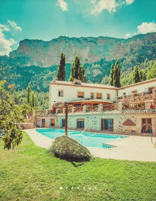
ALTERNATIVE GR 247.1 STAGE 1: Prado Maguillo and Forestrand House Refuge El Bodegón - Río Madera
Hiking, GR247 Forest Routes
Santiago Pontones



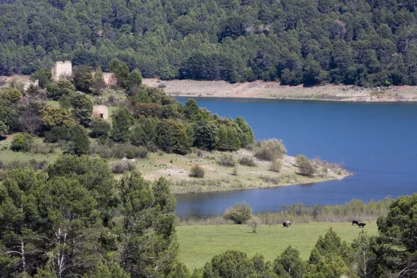
This track is very panoramic and links two nearby but contrasted areas: the heights of Pontones and the Segura valley. The descent on the track allows you to enjoy beautiful views of the Segura River and the mountains and risks that accompany you before giving yourself to the reservoir of Las Anchuricas. It can be done by car or walking, but it is ideal for making it by mountain bike.
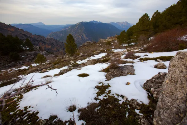
The start is practically flat, and continues like this to the Collado Los Ruejos, where it begins another way to the right that is interesting, but it is not our route. So far the vegetation is mainly arbustive, with some repopulation pinars. The track then slowly descends until it is almost parallel to the Cañada Hermosa stream, and thus reaches the hill of Desevernacaballos, the huge limestone wall that gives name to the track.
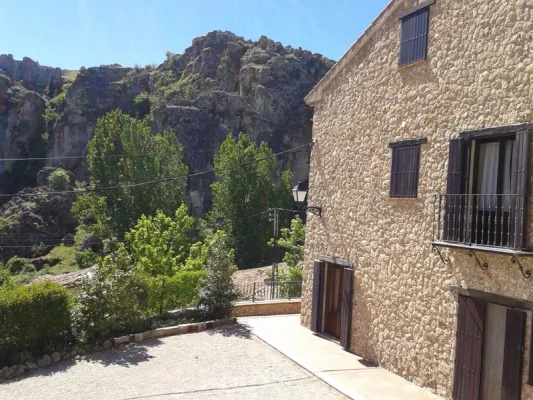
From this point you will cross a dense black pine forest, while the road takes advantage of the level curves so that the slope is not too uncomfortable. Along this descent you will see the impressive mountains surrounding the Segura River: the Cerro del Garmonal and the Pichon del Tesoro on our right, the Calar del Pino in front of you, on the other side of the river.
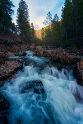
The 11 km of track will allow you to appreciate the great contrast between the two areas: the high part that is unearthed and without just slope, while in the Segura valley, near La Toba, you will find a lot of trees and streams that nurture the orchards and fruits of the village.
Is part of

ROUTE NAME
Pista Forestal de Despiernacaballos
TRAIL TYPE
--
DIFFICULTY
--
TOTAL DISTANCE (IN KILOMETERS) --
Stretch of asphalt or concrete: --
Section of track, forest road, or dry watercourse: --
Trail section: --
Sections of livestock trails: --
HUSO 30S
ESTIMATED TRAVEL TIME
ROAD SURFACE TYPE
Forest track
--
--
DIFFICULTY. RATING ACCORDING TO THE MIDE METHOD
--
MEANS
Severity of the natural environment
--
ITINERARY
Route guidance
--
DISPLACEMENT
Difficulty moving about
--
EFFORT
Amount of effort required
ACCESSIBILITY TYPE
TIME OF YEAR
SIGNALING
No
MORE INFORMATION
TUNNELS
STEEL VIADUCTS
METAL WALKWAYS
WATER POINTS
PONTOONS
GUARD BOOTHS AND BARRIERS
SWITCHMAN'S CABINS
CYCLABILITY
RECREATIONAL OR SPORTS AREAS NEAR THE TRAIL
AID STATIONS
LINKS TO OTHER TRAILS
SHELTERS
RECOMMENDATIONS
It is required to visit the fountain of La Toba, a permanent spring that brings 150 litres per second to the Segura River, and is located in a curious cave of frozen water.
As you cross the denser vegetation area, it is worth stopping to discover maples, complaints or oaks in the wet areas. You'll always be able to cross with some deer or horse goat.
OTHER INFORMATION OF INTEREST (ARCHITECTURAL OR HISTORICAL-CULTURAL, GEOLOGICAL-ECOLOGICAL)
Technical Description
On our way out of Pontones we are heading for Santiago de la Sword for the A-317. About 10 - 11 km is located on the right the Tina de la Cañá, a small construction to keep cattle, and just across the road begins this forest track that goes from the heights of Pontones and Santiago de la Espada to the Toba.