
Senderismo el Pocico
Description
This hiking route has a linear part and a circular final section. It has a total distance of 7 km.
Is part of

Datos de la ruta
ROUTE NAME
Senderismo el Pocico
TRAIL TYPE
Circular
DIFFICULTY
--
TOTAL DISTANCE (IN KILOMETERS) --
-
Stretch of asphalt or concrete: --
-
Section of track, forest road, or dry watercourse: --
-
Trail section: --
-
Sections of livestock trails: --
HUSO 30S
30S x = 468781 and = 4188623
ESTIMATED TRAVEL TIME
ROAD SURFACE TYPE
--
--
DIFFICULTY. RATING ACCORDING TO THE MIDE METHOD
--
MEANS
Severity of the natural environment
--
ITINERARY
Route guidance
--
DISPLACEMENT
Difficulty moving about
--
EFFORT
Amount of effort required
ACCESSIBILITY TYPE
TIME OF YEAR
SIGNALING
No
MORE INFORMATION
TUNNELS
STEEL VIADUCTS
METAL WALKWAYS
WATER POINTS
PONTOONS
GUARD BOOTHS AND BARRIERS
SWITCHMAN'S CABINS
CYCLABILITY
RECREATIONAL OR SPORTS AREAS NEAR THE TRAIL
AID STATIONS
LINKS TO OTHER TRAILS
SHELTERS
RECOMMENDATIONS
OTHER INFORMATION OF INTEREST (ARCHITECTURAL OR HISTORICAL-CULTURAL, GEOLOGICAL-ECOLOGICAL)
Technical Description
It begins in the Plaza de España de Jódar, where we can enjoy the facade of the facade of the Church of the Assumption (16th century). We continue on the c / General Noriega to Jódar Castle. We went up the c / Plaza del Castillo to the Hall of Nature Felix R. de la Fuente. From there, through the peri-urban park we access the Mirador de Traschina.
Behind us is the starting point of our "Los Pocicos" path, outside the city centre. We can get information on the information panel. We will follow an old well-defined horseshoe path leaving the town behind. We will gradually go up to a small hill where there was the Hermitage of San Cristobal, which gives name to this hill. We divised an ancient olive tree still in operation called "Primera Pocico." It has an old mine and a small water spring. We'll look back for a nice view.
We will follow a small stretch of lane about 100 m and we will take the path to the left again. After moving through almonds, we will pass through a short stretch of olive trees until we connect back to the lane at the end of the climb.
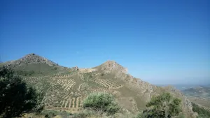
From here on the ground changes. We can observe the "Second Pocco" at the front, between olive lands and some isolated carrasco pines. Our goal is the rock formations we have in the West direction. When we reach the lane curve, we will take the second path that ascends between olive trees. We will continue straight on the path that leads us to the "Second Pocco" hill. From here we will have wonderful views of the Cazorla Natural Park, Segura and Las Villas and the Guadalquivir Valley.
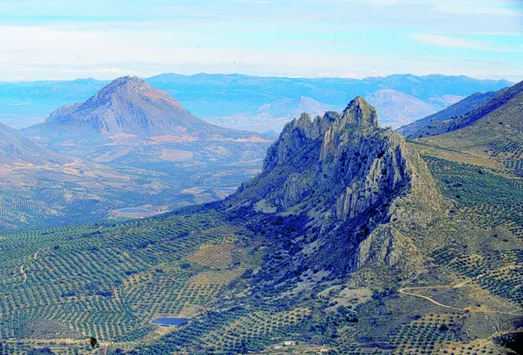
At this point we surround the limestone formations to come down by the so-called Turrilla Hace. This is an ancient land of rain cultivation. The coat of the rock has an old cattle abrevadero, and on this one we must admire a curious rocky pinnacle: Peña Pescezo. We will go down among the almonds to continue our path. At 100 meters down we will take a lane with a certain slope that we will climb to turn left and continue our route.
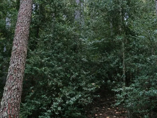
During the return we will have another perspective of the town of Jódar as we walk between arbustive and herbaceous vegetation. The mountain is dominated by spartum: raw material of great importance to Jódar in the past.