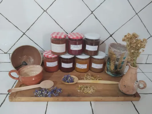
Flavors and adventure: Route and gourmet tasting at Paraíso de Bardazoso
Other routes
Beas de Segura



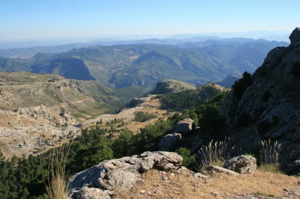
This 43 km route is one of the most classic of the Natural Park. It runs for the most part on the left side of the Tranco reservoir, so the landscape harmoniously combines the platitude of the great water sheet with the rotunity of the great mountains around it, many of them covered by dense pine trees. Not in vain, most of the area is especially protected under the figure of Bujaraiza Reserve Area.
During the first miles, the road runs very close to the Guadalquivir, in the last stretch in which its waters run free before being packed in the Tranco.
The landscape of the reservoir is purely forest, with the predominance of the carrasco pine under whose shade grows a very rich Mediterranean forest.
From the village of Cañada Morales, already near Hornos, the landscape is transformed into a mosaic of mountain olive groves, pine-covered mountains and small villages.
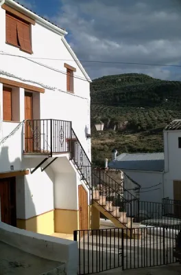
The route has many points to stop at, such as the views and recreational areas of the reservoir and, above all, some of the most relevant public facilities of the Natural Park, such as the Collado del Almond Wildlife Park, the Torre del Vinagre Visitors Center and the Botanical Garden of the same name. It is also worth knowing the villages near the Hornos de Segura.
Is part of

ROUTE NAME
Ruta en coche del Embalse del Tranco
TRAIL TYPE
Scenic Drive
DIFFICULTY
--
TOTAL DISTANCE (IN KILOMETERS) 43 km
Stretch of asphalt or concrete:
Section of track, forest road, or dry watercourse:
Trail section:
Sections of livestock trails:
HUSO 30S
ESTIMATED TRAVEL TIME
ROAD SURFACE TYPE
Road
--
--
DIFFICULTY. RATING ACCORDING TO THE MIDE METHOD
--
MEANS
Severity of the natural environment
--
ITINERARY
Route guidance
--
DISPLACEMENT
Difficulty moving about
--
EFFORT
Amount of effort required
ACCESSIBILITY TYPE
TIME OF YEAR
SIGNALING
No
MORE INFORMATION
TUNNELS
STEEL VIADUCTS
METAL WALKWAYS
WATER POINTS
PONTOONS
GUARD BOOTHS AND BARRIERS
SWITCHMAN'S CABINS
CYCLABILITY
RECREATIONAL OR SPORTS AREAS NEAR THE TRAIL
AID STATIONS
LINKS TO OTHER TRAILS
SHELTERS
RECOMMENDATIONS
We suggest...
OTHER INFORMATION OF INTEREST (ARCHITECTURAL OR HISTORICAL-CULTURAL, GEOLOGICAL-ECOLOGICAL)