Hiking Route La Presilla
Description
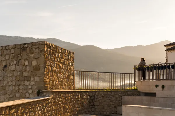
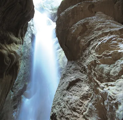
Next to the impressive Tiscar Sanctuary by the Vadillo River, where the beautiful Cueva del Agua opens and where the mountains offer a beautiful port, at Km 12.5 of the A-315, passing the Vadillo Restaurant towards Quesada, we find a sharp curve to the right. Before passing it, a lane with an ascending slope to the right is the beginning of the path.
Is part of

Datos de la ruta
ROUTE NAME
LA PRESILLA
TRAIL TYPE
Circular
DIFFICULTY
Media
TOTAL DISTANCE (IN KILOMETERS) 5,13 km
-
Stretch of asphalt or concrete: 23.98%
-
Section of track, forest road, or dry watercourse: 17.54%
-
Trail section: 58.48%
-
Sections of livestock trails: 0
HUSO 30S
30S x = 498074 and = 4181571
ESTIMATED TRAVEL TIME
1 h 50 min
ROAD SURFACE TYPE
Sandy and rocky
ELEVATION CHANGE
236mm
245mm
DIFFICULTY. RATING ACCORDING TO THE MIDE METHOD
1
MEANS
Severity of the natural environment
1
ITINERARY
Route guidance
1
DISPLACEMENT
Difficulty moving about
2
EFFORT
Amount of effort required
ACCESSIBILITY TYPE
Horse, on foot and bike
TIME OF YEAR
All year round
SIGNALING
No
PERFIL DE ALTURAS

MORE INFORMATION
TUNNELS
STEEL VIADUCTS
METAL WALKWAYS
WATER POINTS
PONTOONS
GUARD BOOTHS AND BARRIERS
SWITCHMAN'S CABINS
CYCLABILITY
RECREATIONAL OR SPORTS AREAS NEAR THE TRAIL
Tiscar Sanctuary
AID STATIONS
LINKS TO OTHER TRAILS
SHELTERS
RECOMMENDATIONS
OTHER INFORMATION OF INTEREST (ARCHITECTURAL OR HISTORICAL-CULTURAL, GEOLOGICAL-ECOLOGICAL)
| Path of the Tiscar Water Cave, near the beginning |
The tour is marked by beacons with directional arrows.
Technical Description
Next to the impressive Tiscar Sanctuary by the Vadillo River, where the beautiful Cueva del Agua opens and where the mountains offer a beautiful port, at Km 12.5 of the A-315, passing the Vadillo Restaurant towards Quesada, we find a sharp curve to the right. Before passing it, a lane with an ascending slope to the right is the beginning of the path.
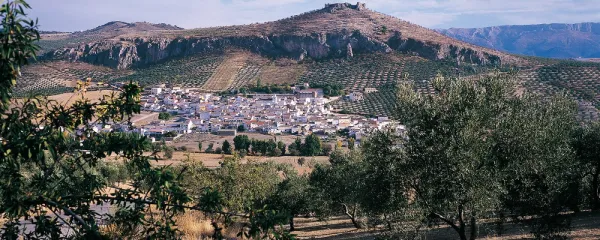
It is a way of servitude from which different accesses to olive plots come. We must always take the main path by dismissing other secondary ones. The olive tree is dominated by almonds, an unproductive olive tree because of the altitude at which we are, but it was once the only way for the inhabitants of these mountains. At 900 m from the beginning, we reach a crossing that we must take to the right, leaving the Vadillo Vereda, which continues ascending but more in a straight line on our left.
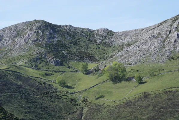
The road runs between two rocky massizos: to the right a rocky cut and to the left La Pedriza, whose top is at 1179 m of altitude. Different paths can be taken, although if it runs through the main, we will end up in a flat area with some gardens.
2.6 km from the beginning we reach a road crossing, where we will have to turn left to continue to surround La Pedriza. We are in the Barrio de la Presilla and from now on we will go down it. At the front and following the rising stream, we can travel the Maquis Road, which commemorates the transit of men who fought in armed resistance against the Franco dictatorship in the 1940s.
At the base of the slices are paint and light. The lane floor slips if wet so it is not recommended to use car in this case. The best time to make the path is autumn and winter for the greatest presence of birds.
4 km from the start, we reach the asphalt road of the port of Tiscar, there we will have to turn left to reach the start point in just over 1 km.