

Bike Route Santuario de Tíscar - Collado Zamora
Description
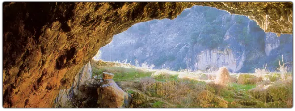
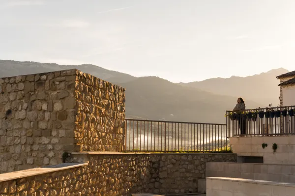
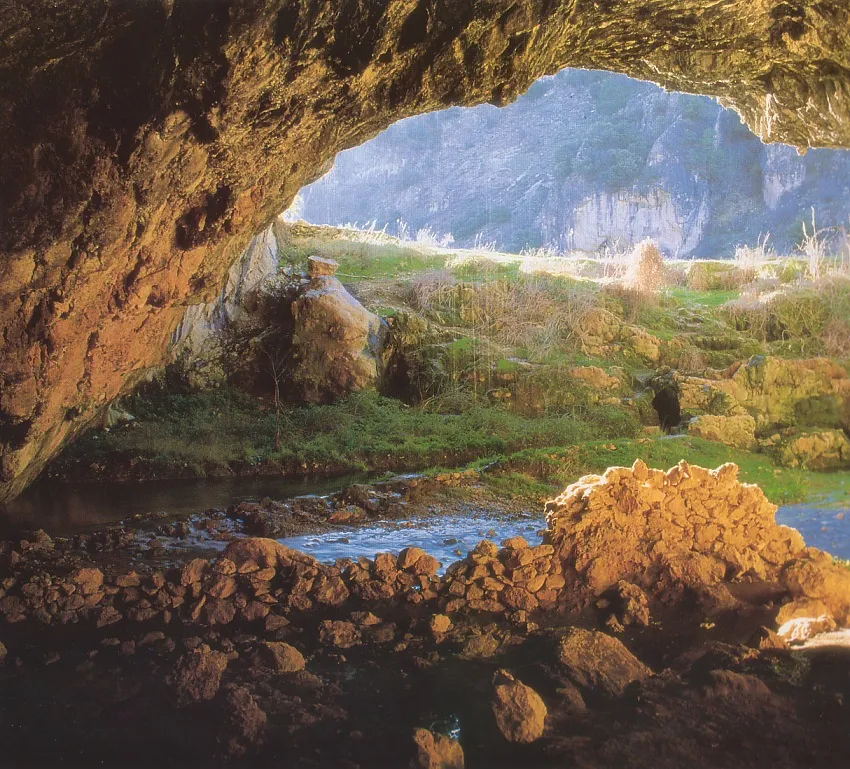
The Port of Tiscar is one of the most emblematic historical ports of these mountains, as shown by the towers and watchtowers of the area. The route begins at the Sanctuary of Tíscar, where a visit to the natural temple of spectacular beauty of the Cueva del Agua is essential. Pedalea uphill along the road A-323 towards the Port of Tícar, passes the hill known as La Pedriza and the Arrow of the Presilla to your right. 4.5 km later, just before we reached the hill and Torreón de Don Enrique, we went down a track to the right towards Loma del Rayal, which borders the Loma de los Picones.
Datos de la ruta
ROUTE NAME
SANTUARIO DE TISCAR A COLLADO ZAMORA
TRAIL TYPE
LINEAR (Round trip / Out-and-back)
DIFFICULTY
--
TOTAL DISTANCE (IN KILOMETERS) 16,41 km (solo ida)
-
Stretch of asphalt or concrete: 26.9%
-
Section of track, forest road, or dry watercourse: 73.1%
-
Trail section: 0
-
Sections of livestock trails: 0
HUSO 30S
30S x = 500141 and = 4188071
ESTIMATED TRAVEL TIME
ROAD SURFACE TYPE
Sandy and rocky
ELEVATION CHANGE
1111mm
609mm
DIFFICULTY. RATING ACCORDING TO THE MIDE METHOD
--
MEANS
Severity of the natural environment
--
ITINERARY
Route guidance
--
DISPLACEMENT
Difficulty moving about
--
EFFORT
Amount of effort required
ACCESSIBILITY TYPE
In Bicycle, Horse, on foot
TIME OF YEAR
All year round
SIGNALING
No
PERFIL DE ALTURAS

MORE INFORMATION
TUNNELS
STEEL VIADUCTS
METAL WALKWAYS
WATER POINTS
PONTOONS
GUARD BOOTHS AND BARRIERS
SWITCHMAN'S CABINS
CYCLABILITY
RECREATIONAL OR SPORTS AREAS NEAR THE TRAIL
AID STATIONS
LINKS TO OTHER TRAILS
SHELTERS
RECOMMENDATIONS
OTHER INFORMATION OF INTEREST (ARCHITECTURAL OR HISTORICAL-CULTURAL, GEOLOGICAL-ECOLOGICAL)
Technical Description
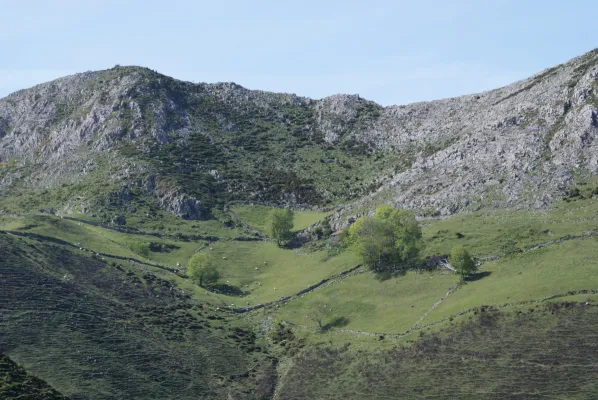
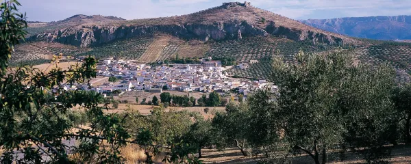
At 800 m from the start we left this main track, to take an unvisible road that goes out to the left and that goes up a small vaguade towards a chandelier made up of two rocks, where there is a chain that closes the passage to motor vehicles. This is the detour to the Garbanzal ravine. The road soon begins to descend by sticking to the vertical limestone walls that make up this whole mountain slope. The whole tour is spectacular, through the views on one side of these walls and on the other the plains full of olive trees from the lower part.
Soon, at 6.5 km. from the beginning, we have descended to cross the Garbanzal ravine. From here on the track starts to rise until we get to a track crossing. We must continue to the right and we will soon leave to our right the remains of the Garbanzal Forest House. Again a small descent to cross at 8.1 km. with the River Extremera, a small high mountain water course that descends from the ravine of the Arenales and the ravine itself. Before we cross the river, we will have to despise another lead that goes to the left.
From this moment on the rise begins again, performing several zig@-@ zags, until reaching the Collado de la Hoya de los Corzos. Here we will find another lead that starts to the left that we must also despise. We have a strong slope on both sides, but the track seems to hold on to this slope, the next almost three kilometres are continuous up and down, with always ascending tendency, to reach the Jaén Cave stream (12.2 km.). Before it we left to our right and just above us a vultures located on a marine sedimentary folding. In addition to a leonate vulture, they are very suitable for the observation of hawks and various species of eagles.
After the stream, we have a better position for the observation of these vultures, the rise becomes stronger and we reach, after a wide curve to the right, a small loin with no vegetation, from which there are large panoramic views of both the vultures and the enclave where we are. In the middle of that curve we will have to rule out a new downward track to our left. It is very abundant throughout this area the mist, parasiting the larix pine.
We continue the rise, from this clear promontory, and soon we pass through one of the most unique places of the entire tour. It is a small corner, in which there is a microclimate completely different from the rest of the slope, cooler, due basically to its altitude and orientation. We noticed a different thermal sensation and also botanical species that we had not observed in all the rise, as is the case with several tiles, some of them of considerable dimensions, as well as some example of maple.
At 15.5 km. We crossed a bridge over the Béjar River, leaving a containment dam to our right. The pineapple is twisted by introducing its roots into the rocks and soon, in just 800 m we reach a chain that cuts the traffic of motor vehicles. To our right, remains of the old forest house and to the front, the Zamora Collado. We are on a true natural balcony from which, on clear days, the massiums of Sierra Nevada and Sierra Magina are perfectly seen. It is an ideal route for the observation of fauna, especially gamo, muflon, montés goat and boar.
The return is done on the same one-way route.