


DETOUR 04: Puerto de las Palomas - Arroando Frío
Description
In order to carry out this itinerary, the mesta is used, that is, a 75-meter-wide pecuary road; traditionally they cross here flocks of sheep and cattle mainly, to go from the high areas of the Park to Sierra Morena, mountains in which they enjoy a softer climate in winter.
From the Port of the Doves to the cold Arroyo, almost 400 meters of altitude is down in less than 3 kilometres, giving us an idea of the abrupt terrain.
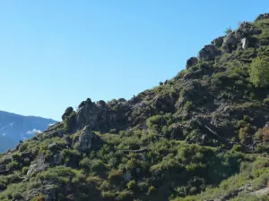
The Port of the Palomas suffered a major fire in 2001 that devastated more than 800 hectares, so the recovery efforts of the area and the road itself have been noticeable. The plant cover is currently recovering and many plant species have already colonized the medium.
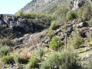
Remains of the disaster are observed that have been left on the ground to stop the erosion, such as logs whose trawling would accentuate the erosion and perpendicular slices to the slope made with the same logs burned. The strong slopes and abundance of rocks make it difficult to regenerate the plant cover, which is supported by drip irrigation of some species in the summer months, so we will see PVC and hoses deposits in some places.
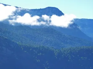
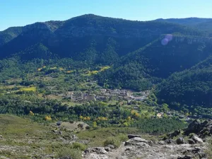
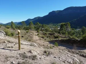
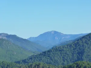
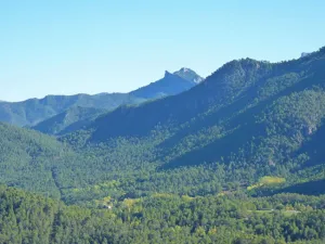
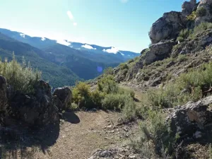
The journey for the most part is a horseshoe road, which saves the important gap by continuous spins, which does not prevent even the cavalry accompanying the cattle in the transhumance from going through it. The views of the Guadalquivir Valley, the Poyos de la Mesa, the Banderillas and including the Yelmo, compensate the severity of the environment by which we walk, because it dominates the green of the great forests that we will see in front of us.
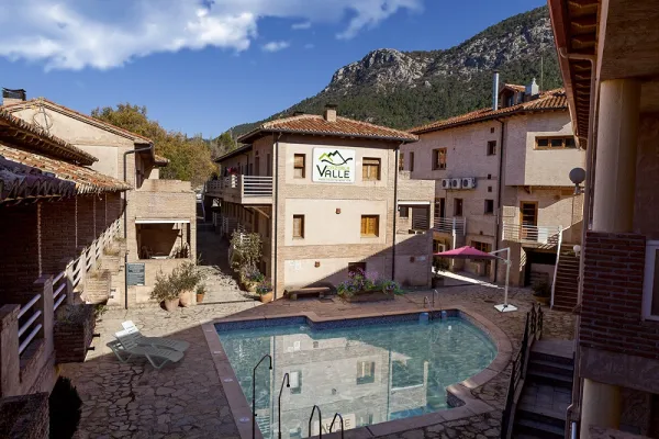
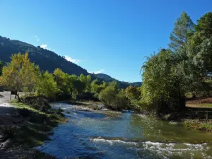
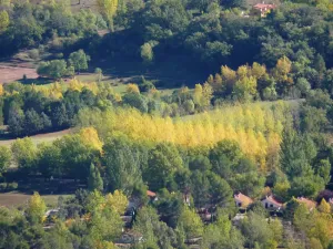
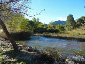
Finally, we crossed the Guadalquivir in its main section, which in the Natural Park is still a mountain river with crystal clear waters, and we immediately arrived in Arroyo Frio, village of La Iruela which is the most developed tourist core within the Park, hence the interest of this route to link with the Southern Forest Path.
Is part of

Datos de la ruta
ROUTE NAME
Puerto de las Palomas - Arroyo Frío
TRAIL TYPE
Linear. Round trip
DIFFICULTY
Baja
TOTAL DISTANCE (IN KILOMETERS) 2,5 km
-
Stretch of asphalt or concrete: 0
-
Section of track, forest road, or dry watercourse: 0.26%
-
Trail section: 0.74%
-
Sections of livestock trails: 0
HUSO 30S
According to Projection UTM Datum ETRS89
ESTIMATED TRAVEL TIME
55 min
ROAD SURFACE TYPE
Trail
MAXIMUM ELEVATION CHANGE 394mm
0mm
394mm
DIFFICULTY. RATING ACCORDING TO THE MIDE METHOD
1
MEANS
Severity of the natural environment
1
ITINERARY
Route guidance
2
DISPLACEMENT
Difficulty moving about
1
EFFORT
Amount of effort required
ACCESSIBILITY TYPE
On foot
TIME OF YEAR
All year round
SIGNALING
Sí
MORE INFORMATION
TUNNELS
STEEL VIADUCTS
METAL WALKWAYS
WATER POINTS
PONTOONS
GUARD BOOTHS AND BARRIERS
SWITCHMAN'S CABINS
CYCLABILITY
RECREATIONAL OR SPORTS AREAS NEAR THE TRAIL
AID STATIONS
LINKS TO OTHER TRAILS
SHELTERS
RECOMMENDATIONS
OTHER INFORMATION OF INTEREST (ARCHITECTURAL OR HISTORICAL-CULTURAL, GEOLOGICAL-ECOLOGICAL)
Rutómetro
Km 0
Puerto de las Palomas
Desde la carretera A-319, a 400 metros del Paso del Aire, en el Puerto de Las Palomas, tomamos una pista forestal, que dispone de varios paneles informativos y señales direccionales.
A la entrada encontraremos una puerta que se debe cerrar tras nuestro paso, ya que evita la entrada de los grandes herbívoros (ciervos, gamos, etc.) a la zona que sufrió el incendio por la que discurre este camino.
A los pocos metros hay un paso metálico sobre foso que cumple la misma función (paso canadiense).
Km 0,1
Senda
Tras el paso canadiense, hay una rampa descendente hacia la derecha que da acceso a una senda, que pronto empieza a serpentear.
En los primeros 300 o 400 metros conviene ir muy atentos a la señalización, ya que la fuerte erosión del lugar puede inducirnos a desviarnos de la ruta correcta.
Km 1,8
Salida a Pista forestal
Llegamos a una pista forestal que deberemos tomar hacia la izquierda.
Si fuéramos hacia la derecha caminaríamos por el tramo de la pista que discurre en paralelo al Río Guadalquivir hasta los Cortijos del Coto, muy próximos a la vieja central hidroeléctrica del Valle.
Km 1,9
Puerta
De nuevo encontramos la valla que delimita el área cuya cubierta vegetal está siendo restaurada. La pista por la que hemos transitado durante escasos metros sigue al frente.
Nuestra ruta cruza la puerta hacia la derecha, y de nuevo es importante cerrar la puerta al pasar para evitar la entrada de animales.
A partir de aquí, ya entre pinos negrales o resineros, el camino discurre por una pista con poco uso, oyéndose al poco el susurro de las aguas del Guadalquivir.
Km 2,5
Arroyo Frío
Ya abajo en el valle, nos encontramos con el Río Guadalquivir, que debemos cruzar por un puente que nos queda a la izquierda.
En la otra orilla se encuentra el final de la ruta, ya en Arroyo Frío.