Description
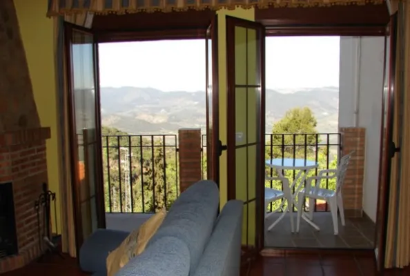
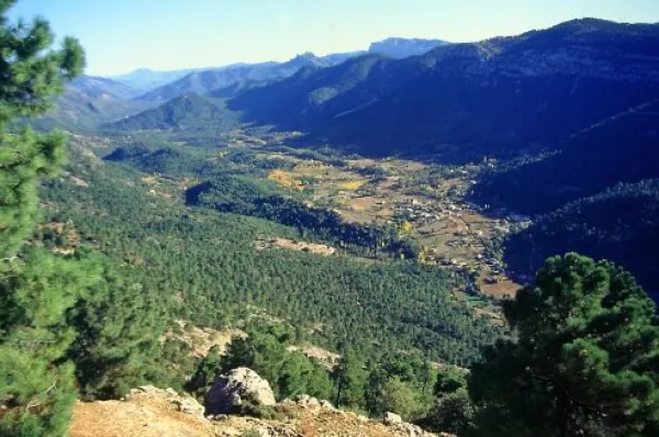
The Yelmo is the most popular and emblematic summit in the northern part of the Natural Park due to the amazing views enjoyed from its summit, at 1.809 m of altitude. From it we see the vast forests of the entire Natural Park, the distant Albaceteña and granadine summits and the manchegos plains. In the harmonious set of forests and olive groves in the low areas, the beautiful villages of Hornos de Segura and Segura de la Sierra, as well as the waters of the Tranco reservoir, stand out in view of a bird. It is also an international reference for the world of free flight, since it has a take-off that meets a great condition for the practice of this sport.
The slopes of the Yelmo are covered by dense pine trees, as well as some oak trees and mixed forests of both species. The complaint is abundant and at some points you will also be surprised by beautiful maples. In the summit area, often visited by the mountain goats, only the piornos and some small, twisted larix pine survive.
The Yelmo is the epicenter of the International Air Festival, an original event that brings together thousands of people, from the neighbors of the villages closest to pilots from different countries, attracted by many different activities.
The summit is accessible by car by a narrow asphalt forest track that is accessed from the village of Robledo, near Cortijos Nuevos. We strongly recommend you to walk up at least the last miles, because you can appreciate the beauty and purity of the environment much more intensively.
You can also access from the area of the Campillo, on the opposite side, next to the road JF-7016. This access is based on an altitude above the first and also has an asphalt track, although we recommend walking along the signposted route PR-A 194, whose 3 km of one way we will travel in about an hour and twenty minutes.
Is part of