

Tourist Office

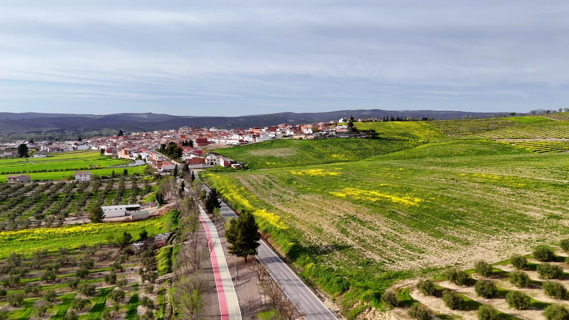
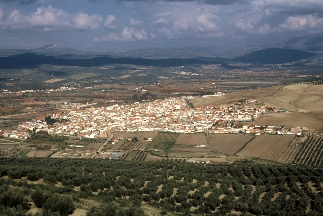



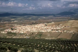



Sao Tomé is located in the heart of the Sierras de Cazorla and Las Villas, in the northern part of the region of Alto Guadalquivir, to which it belongs, extending from the east to the west of the region, along a narrow and extensive municipal term that reaches from the fertile vegas of the Guadalquivir to the core of the Sierra de Cazorla. This territory has historically endowed Sao Tomé with pastures and forest resources that completed the rural local economy, with the cultivation of Vega and olive trees.
The eastern half is mountain, it belongs to the Natural Park of the Sierra de Cazorla, Segura and Las Villas, reaching the first stretch of the Guadalquivir River after its birth.
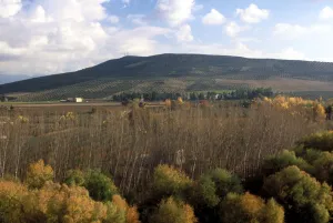
The western is a land of cultivation, in which the olive tree dominates. In the vegas of the Guadalquivir, the herbaceous crops of the dry and the gardens predominate.
The Borosa River marks the eastern limits of the term, in the heart of Natural Park. Next to the river is a river interpretation centre and a farm.
The city centre is concentrated around the old castle turret that gave rise to the population. Sao Tomé occupies the top of a hill that dominates the Guadalquivir valley.
There are three villages dependent on Sao Tomé: São Tomé, Arroyos Plaza and Las Erica, the last two in the saw area. The village of the Ericas and the Borosa River are some of the places of extraordinary beauty located in the municipal term.
The economic activity of the municipality is linked to agriculture and tourism.
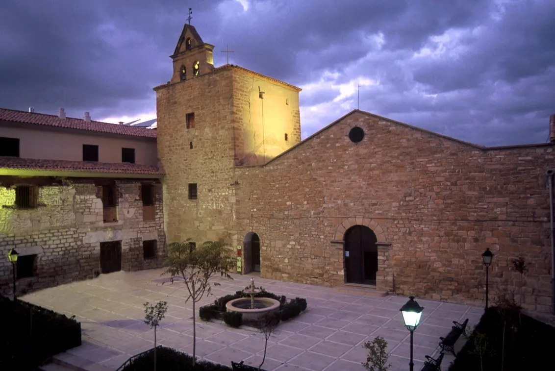
As a sample of its architectural heritage, the tower of the bell tower of the church of St. Thomas the Apostle of the 14th century stands out, since it was originally an Arab defensive turret.
Is part of


Sao Tomé belongs to the region of Sierra de Cazorla, it is 548 m above sea level, occupying the northern part of the region.
The municipal term is a strip of land, much longer than wide, which extends east to west.
The Eastern half It is mountainous, made up of coniferous mountains and belongs to the Natural Park of Cazorla, Segura and Las Villas, reaching the first stretch of the Guadalquivir after its birth.
The Western half is land of the countrysidein which the olive grove dominates until it reaches the banks of the Guadalquivir. In the lower area, the herbaceous crops of dry and irrigation are developed in the Vega of the river.
If something characterizes the region is the variety in landscapes and ecosystems, with altitudes ranging from 2,100 m. in the Sierra de la Cabrillaup to the 360 m. near the Bridge of the Cerrada. The high peaks are mixed with deep ravines, soft reliefs and wide valleys, forests, olive groves, high mountain pastures and gardens, humid, dry and semi-desert areas.
The altitude progresses from west to east, but not continuously, but forming saw teeth. The natural characteristics of the territory have conditioned the use and traditional use of it: livestock, forestry, olive cultivation, cereal, orchards, hunting, fishing, collection of mushrooms and wild fruits, as well as a variety of popular crafts, spartum and wicker mainly.
These traditional uses have given way to new economic activities, mainly service companies, especially tourism in the area of the Natural Park.
At present the olive tree has been displacing the other crops, In the driest areas the almonds spatter in white spring.
By the term of Sao Tomé, among many other species are moved as emblematic as the grubb, cappuccino herrererillo, royal anade (azulon), ashtray, common badger, fox, European otter, boar, gill, gill, deer, mountain goat, guadiana's wedding, Andalusian barb, trout and staircase.
Among the enclaves with special interest, we mention:
Sao Tomé has been an eminently agricultural population, so its festivities are very close to the agricultural tasks. These include:
Sao Tomé, like the whole Sierra de Cazorla, the traditional Fandango serrano. This standing rhythm fandango is danced on certain dates. At the pace of guitars and banners, a few coplas are sung that are improvised, and a true "pica" is raised among the attendees.
With the arrival of the cold they also arrived the expected massacres who were taking up the loins and the prayers for the rest of the year. The killing also had the mission of establishing family and neighbourhood ties, and it had the connotations of a real party.
Among the most famous products is the "white bite," which does not carry pig blood.
These are typical dishes of Sao Tomé, among others:
The oldest human remains found in the municipal term that reveal the human presence go back to Neolithic: Arrow tips, sickle teeth and machineries.
In the Copper age there was a site near the São Tomé Group, known by Montiel.
In the lands of Sao Tomé the call would take place Battle Baecula, won by the Roman general Scipion against the Carthaginese Asdrúbal Barca. A defeat that would be end of the Carthaginese domain in the Iberian Peninsula (Cerro de las Albashas)
During Roman times had an intense occupation through rustic villas, such as the The Graves. They have found tombstones and a peso, which are found in the Provincial Museum.
From its visionary past, a stone was found, which is also exposed in the Provincial Museum.
In the Muslim period would be one of the lockers that populated this land and that had a tower for your protection, which would later become the bell tower of the local church.
In 1,231, Sao Tomé, along with other peoples of the region, became part of the advance of Cazorla, heritage of the archbishopric of Toledo. It will be in 1,438 when the archbishopric authorizes D. Pedro Díaz de Toledo the the foundation of this population, where there was only one corijo and an old tower.
The Vizcounty of Sao Tomé was created in 1627 by Felipe IVin favor of Hernando de Quesada Mendoza and Toledo.
2 km. of the urban town is found Group of Sao Tomé, also known as Montiel. It is one of the nuclei of the New Populations as a result of the agricultural Colonization in Andalusia in the 1950s of the 20th century.
5
3
1
3


